Feeds:
Posts
Comments

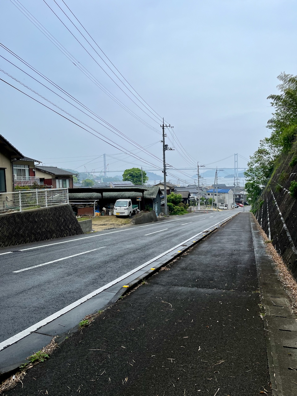
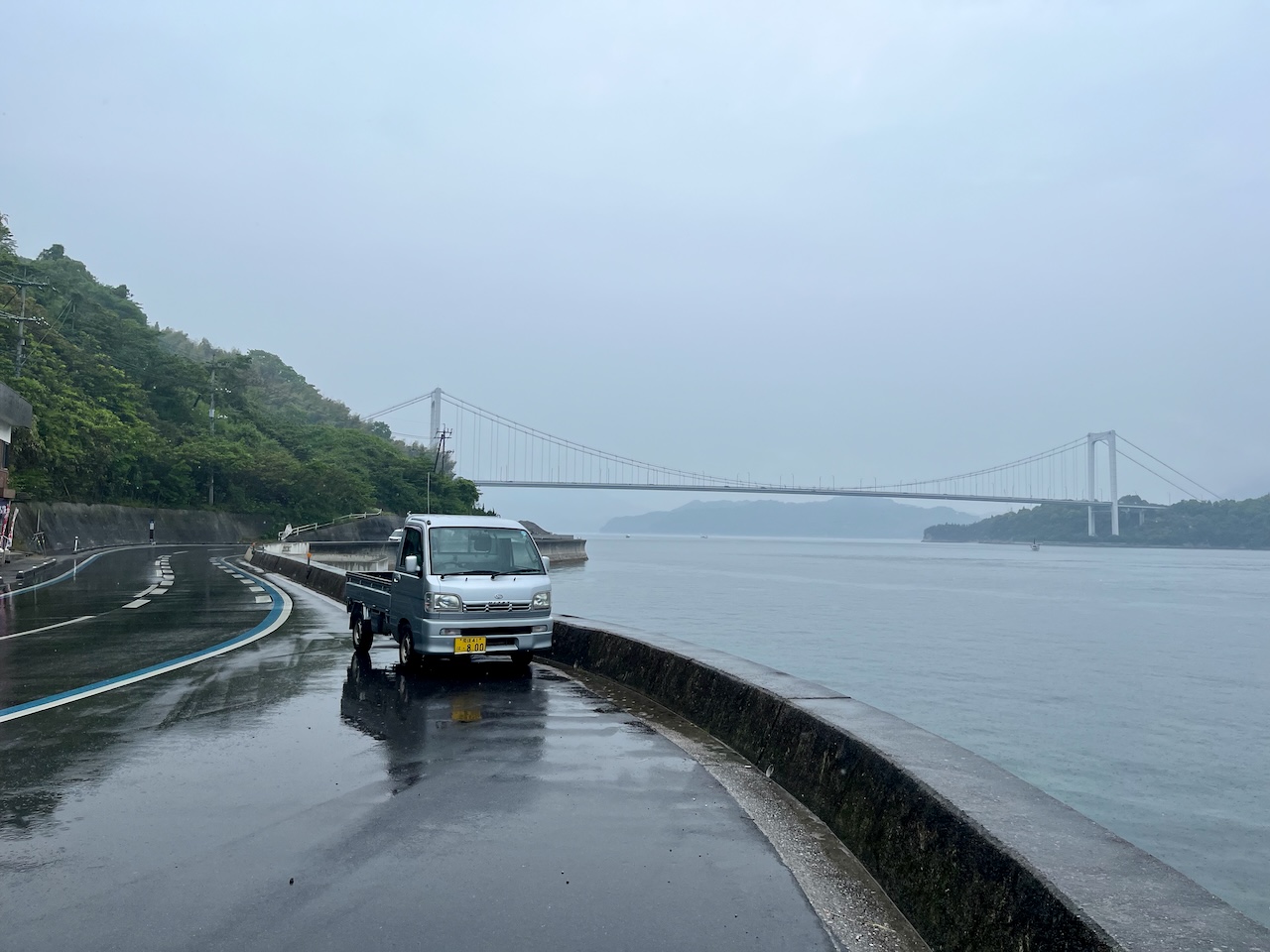
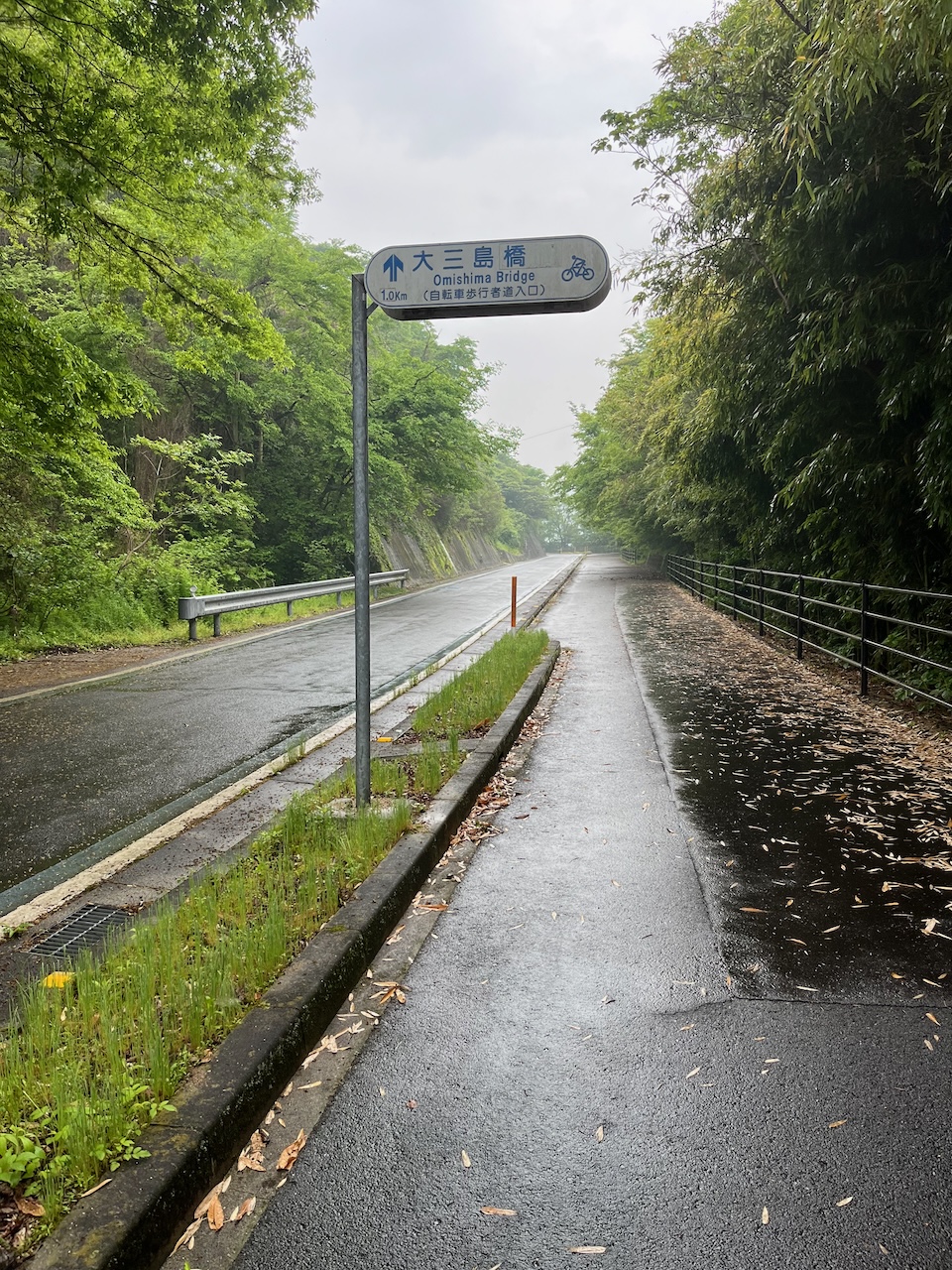
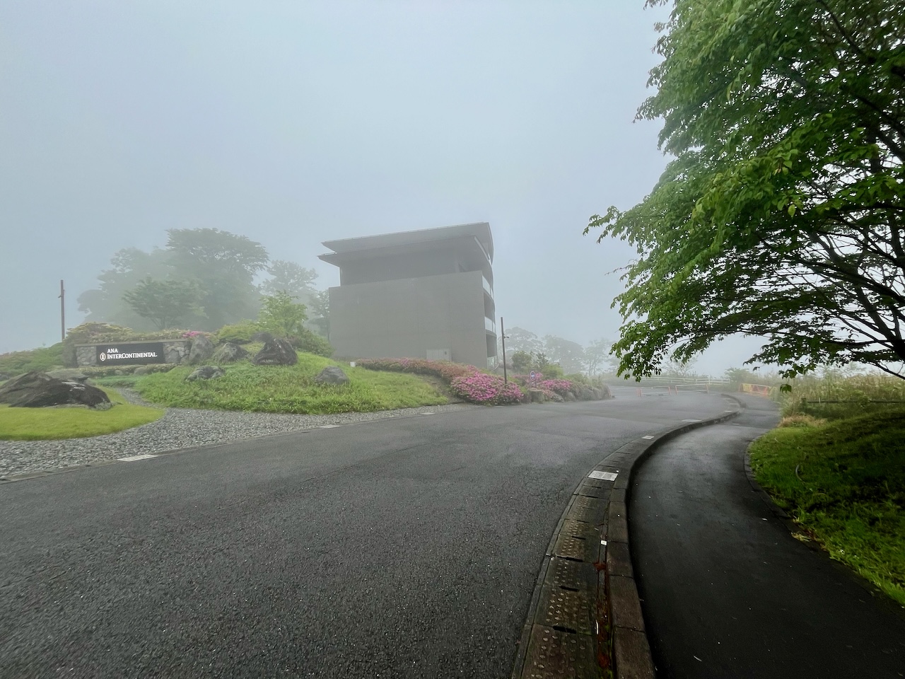
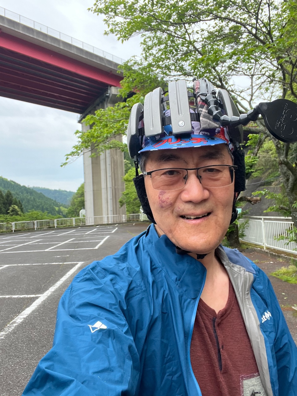
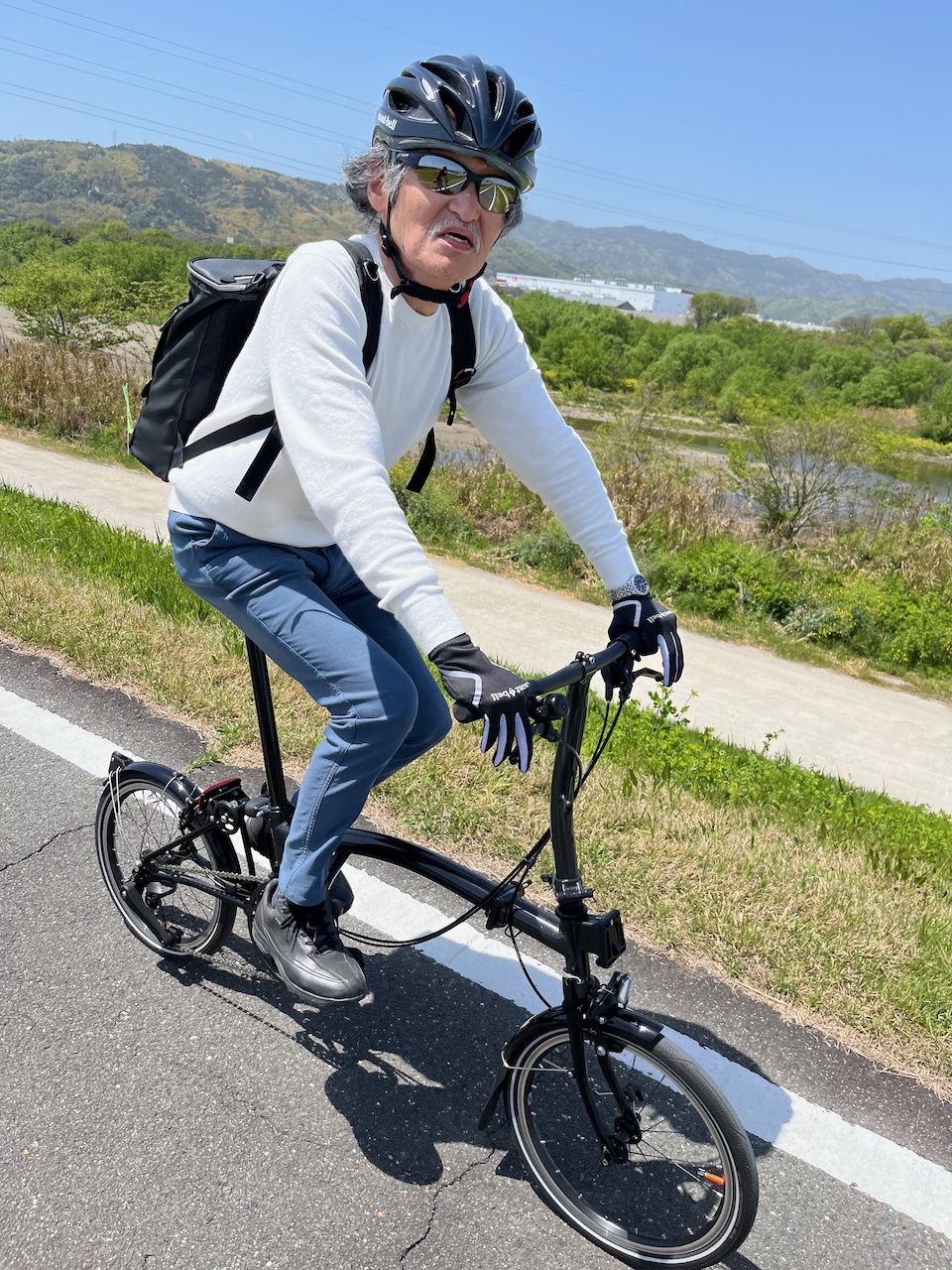
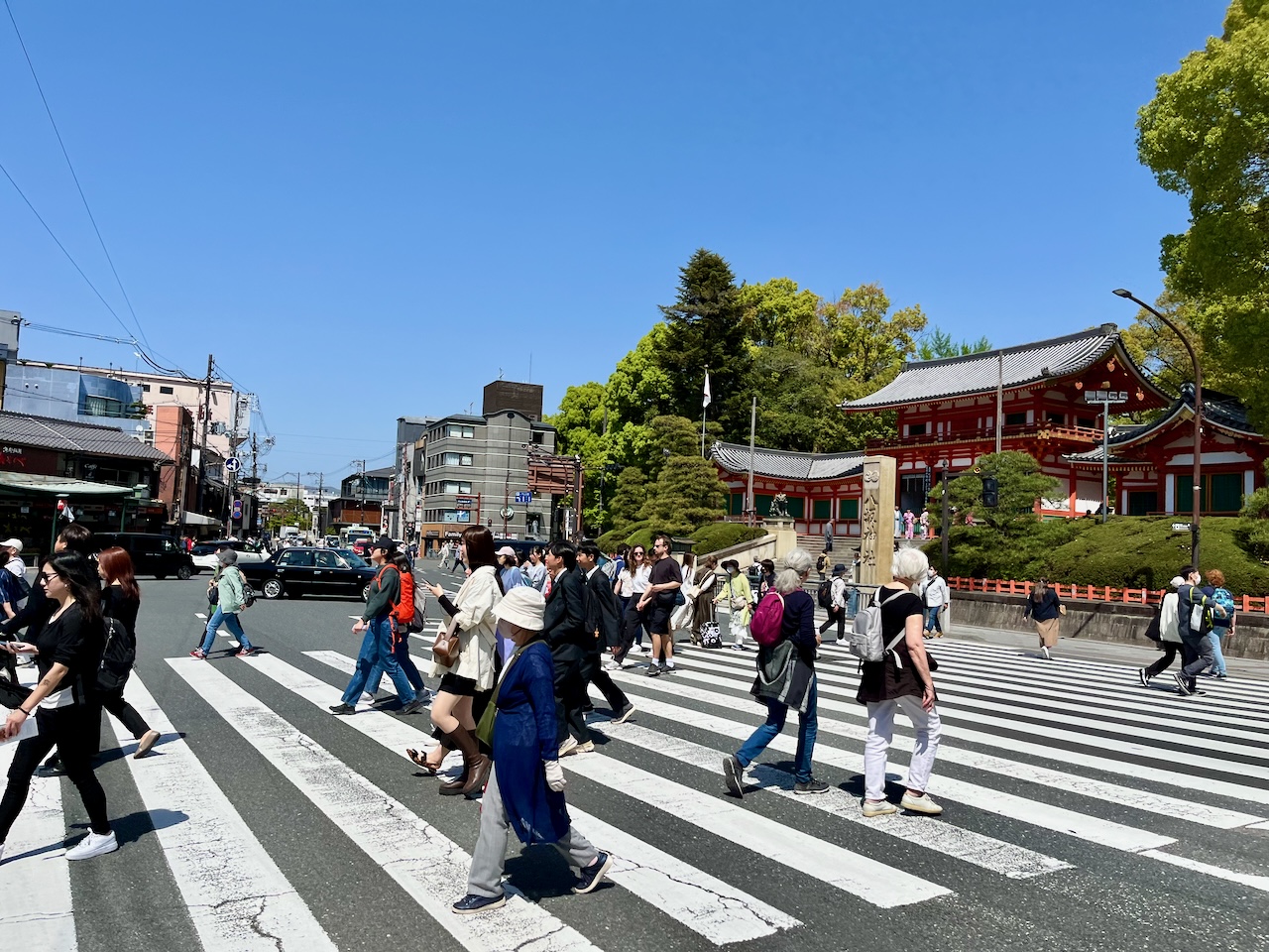
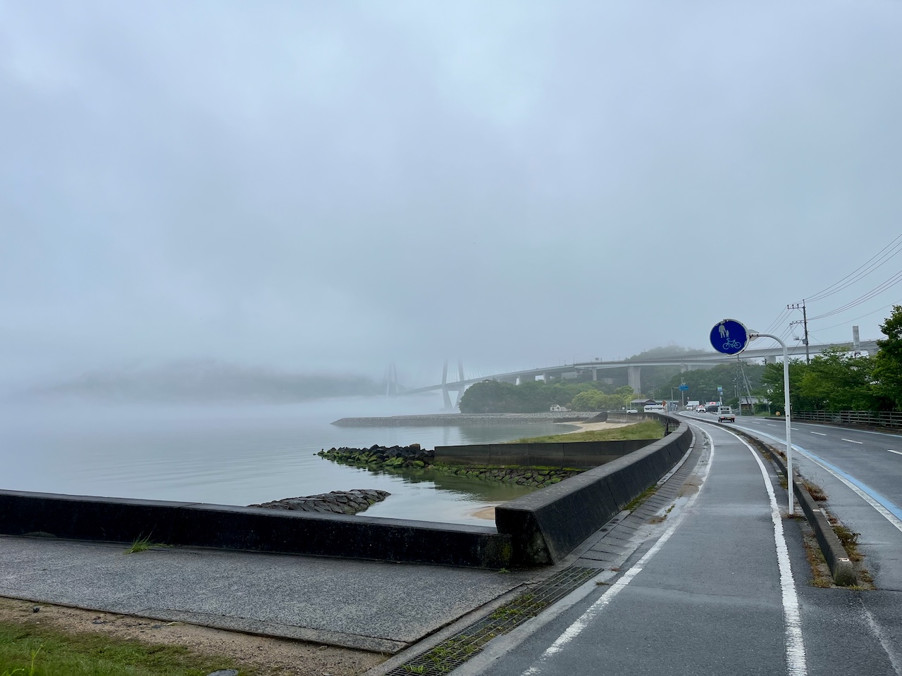
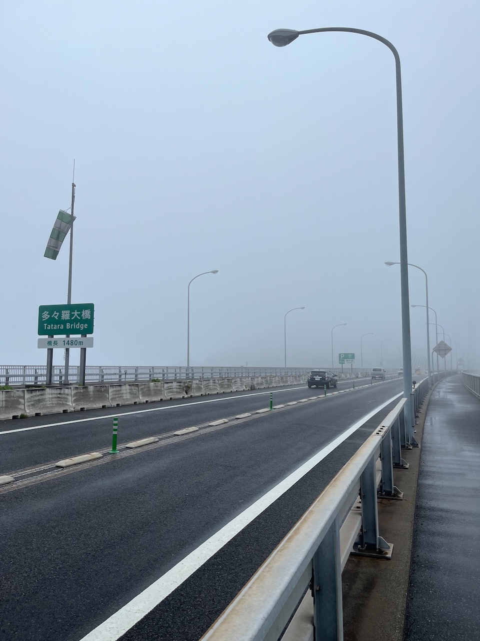
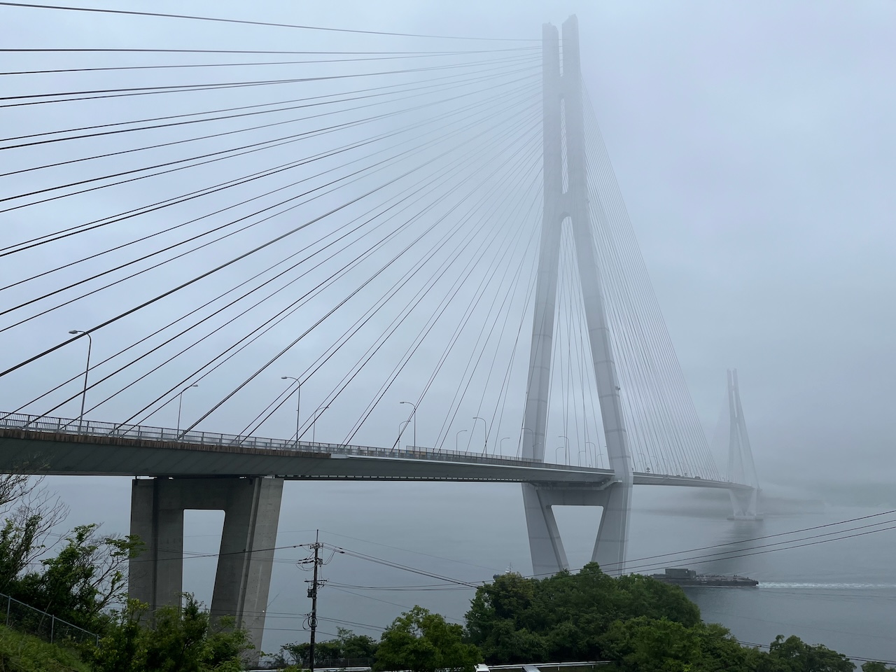
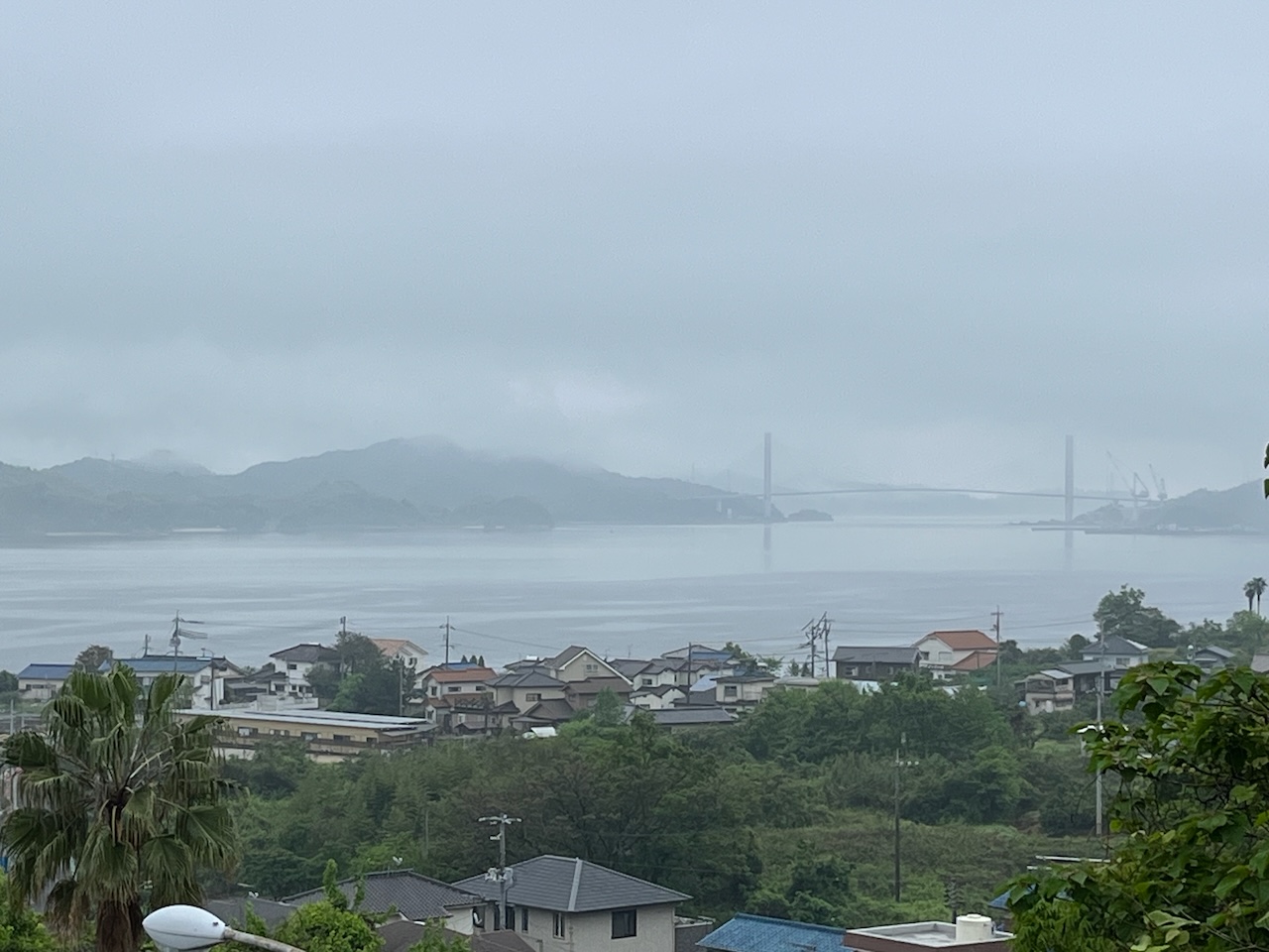
Once last push to complete the second half of the Shimanami Kaido, and then a bit further to Fukuyama. It was foggy this morning, so you couldn’t really see the bridge to Ikuchi island.

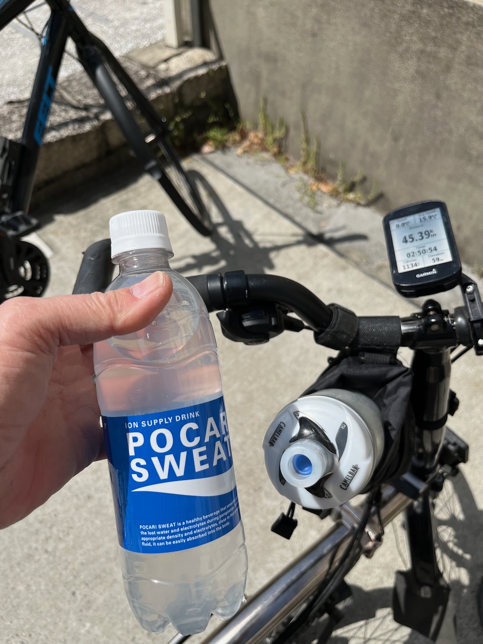
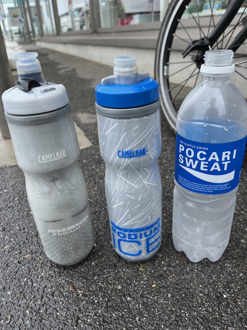
A quick stop to load up on Pocari Sweat. The larger bottle fills about 1 2/3 of my water bottles. I’m going to be heartily sick of this stuff after today.

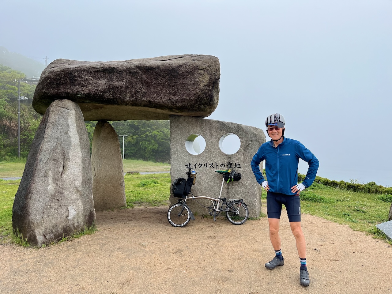
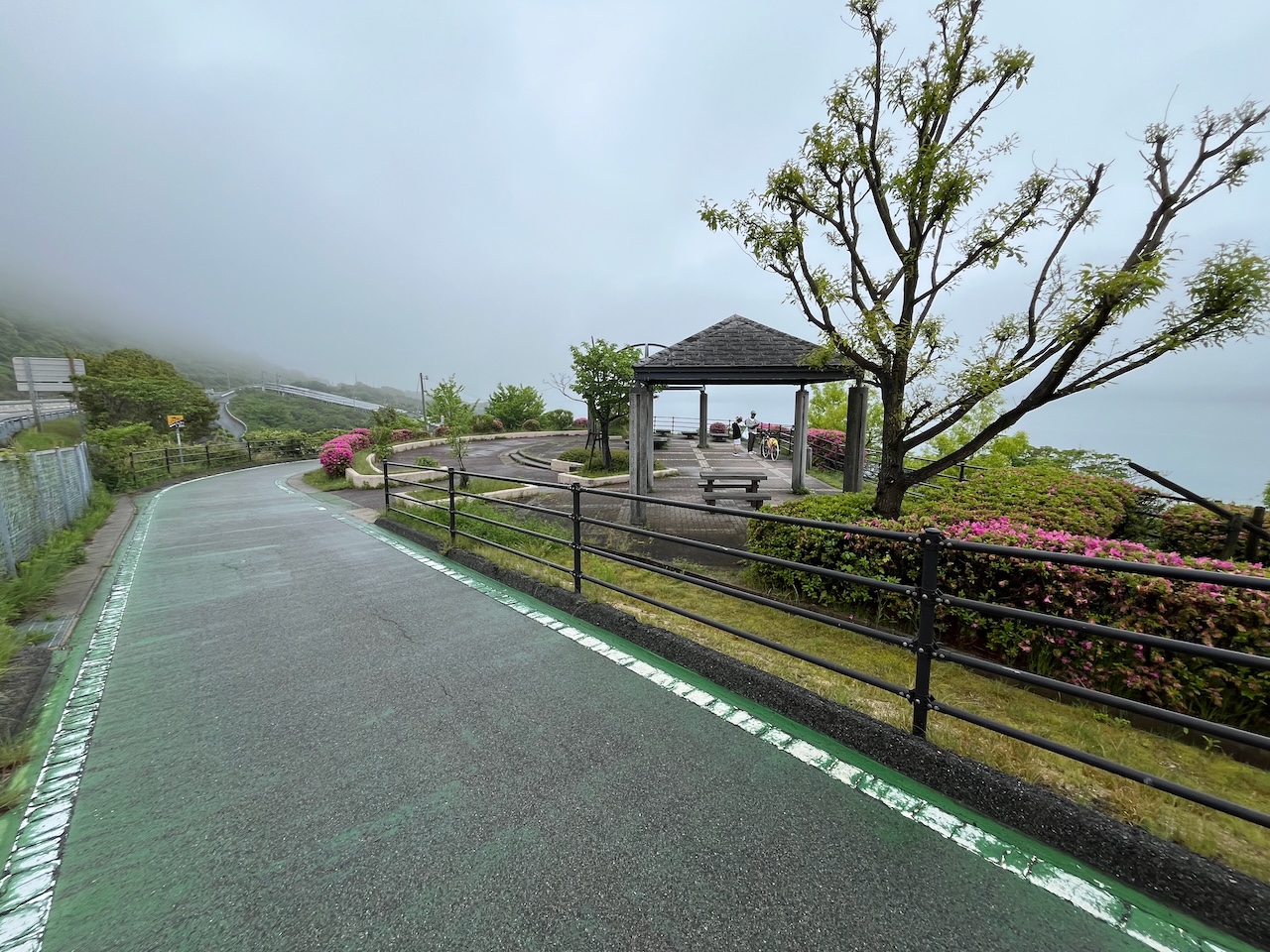
Some kind of monument for cyclists. You can’t see the bridge in the background.
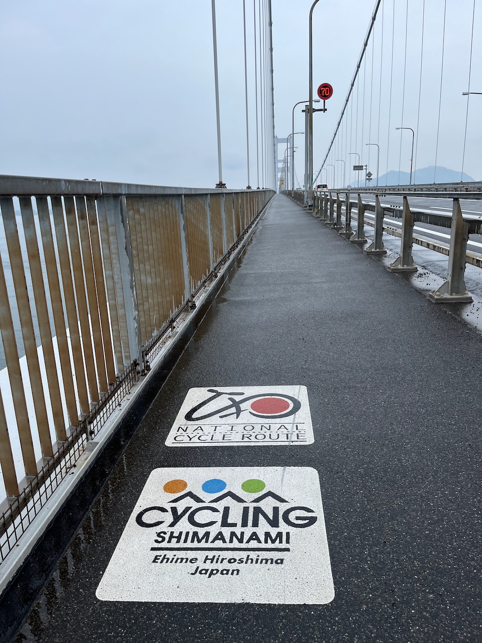
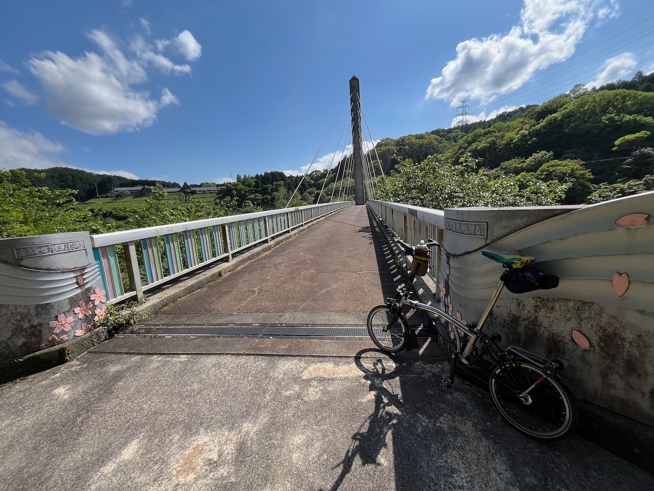
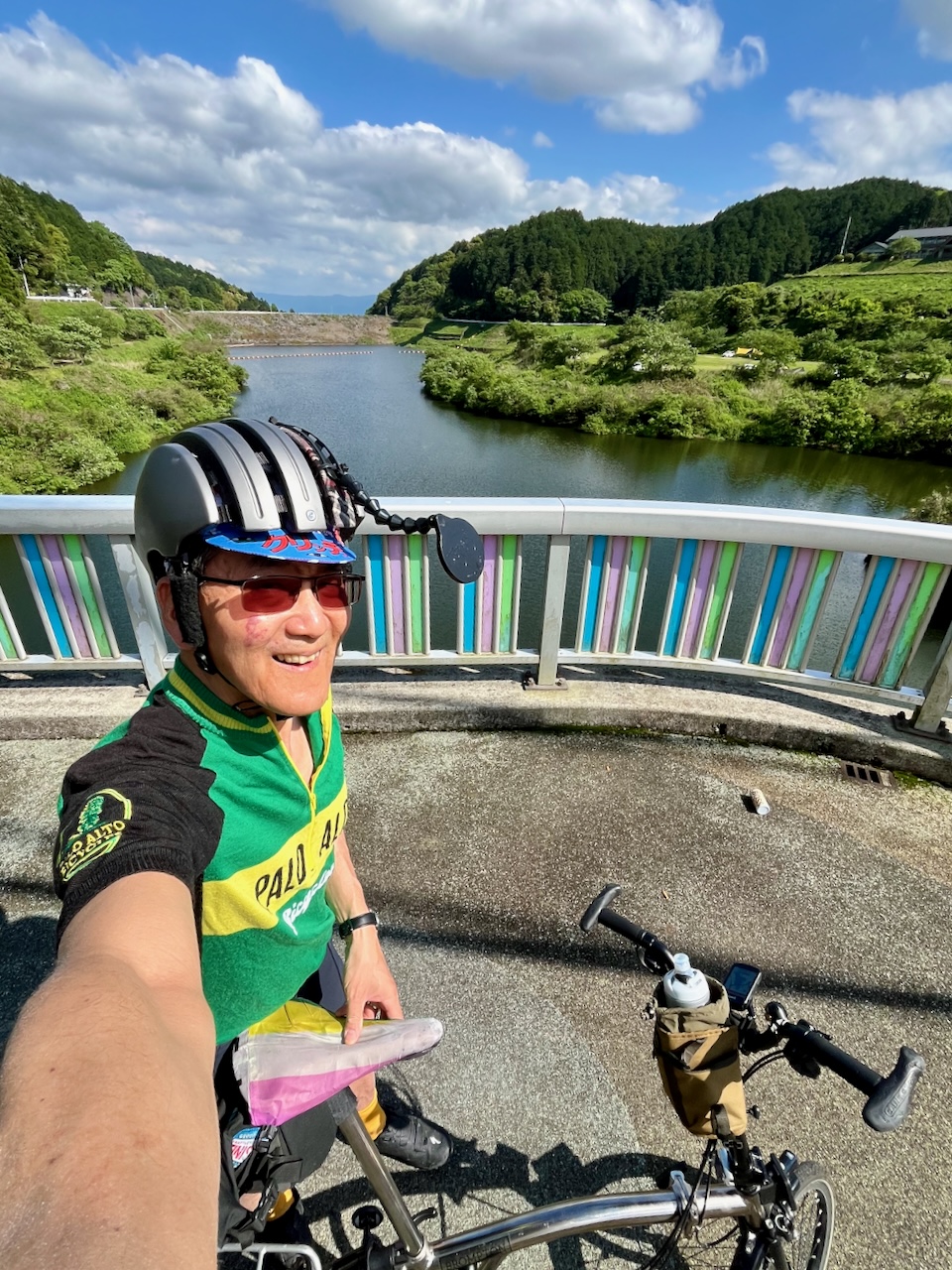
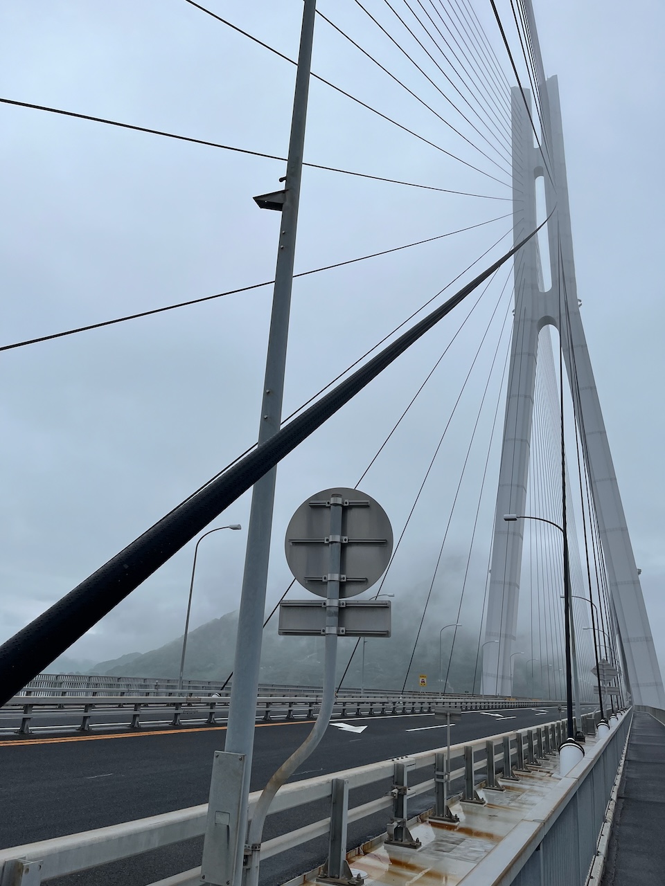
On the bridge.

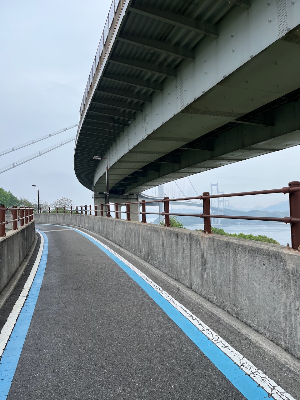
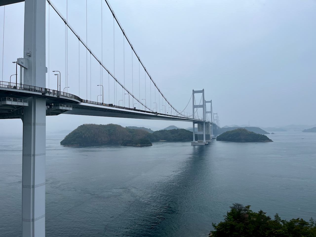
Now you can see that it is a cable stay bridge.

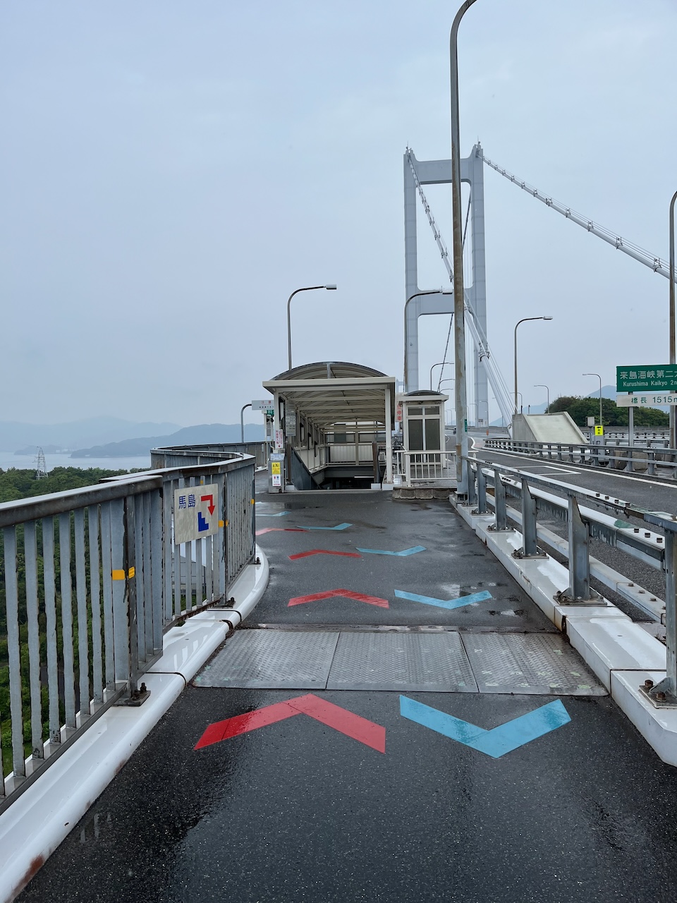
The beginning of the ramp down off of the bridge.

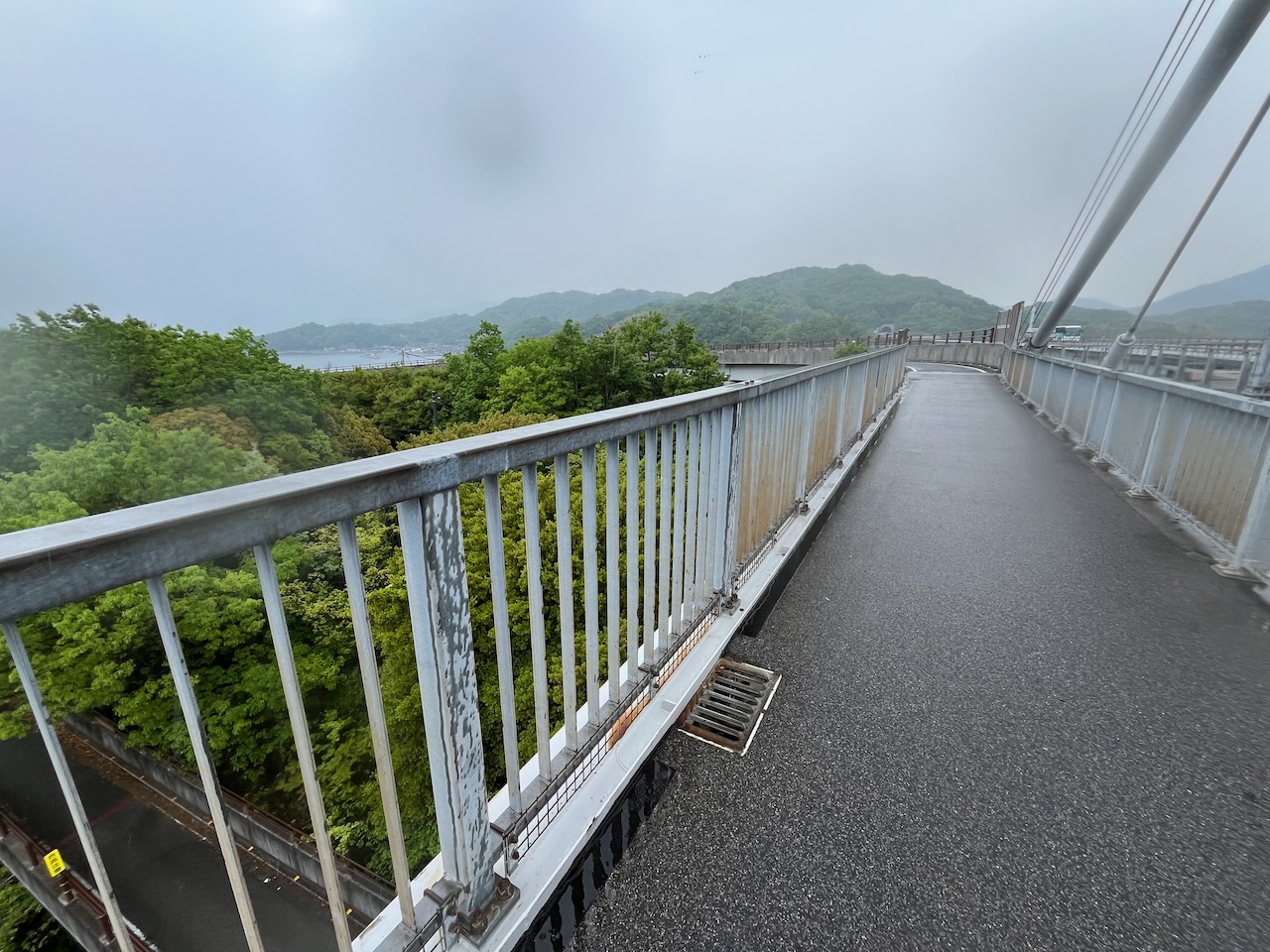
Looking back at the bridge.

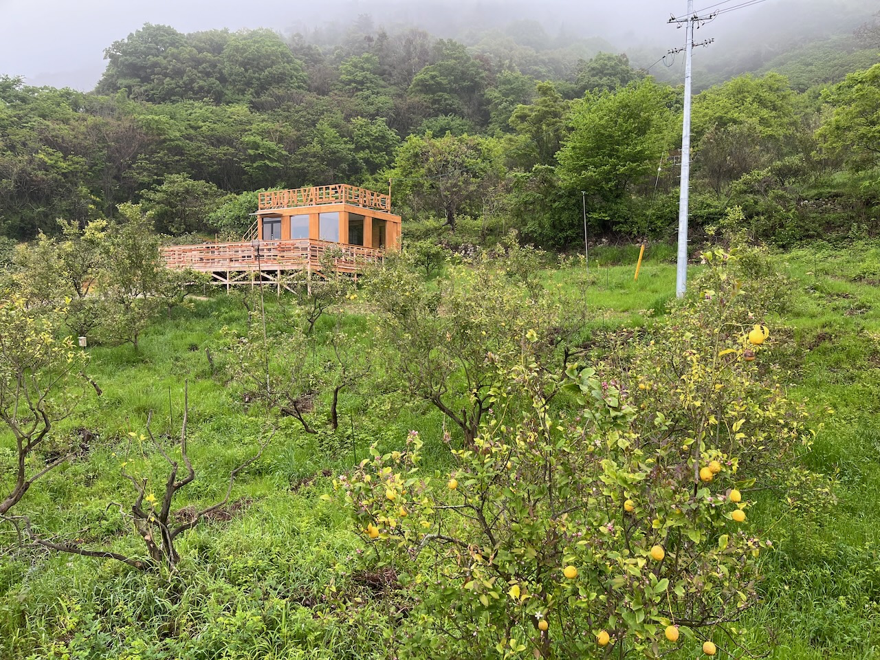
This looks like a nice little café. It was surrounded by lemon trees that were very fragrant.

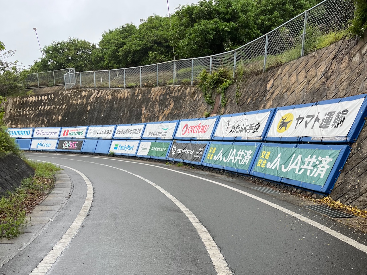
There was a long series of switchbacks on the way back down to sea level. Never seen padding for cyclists with ads before.

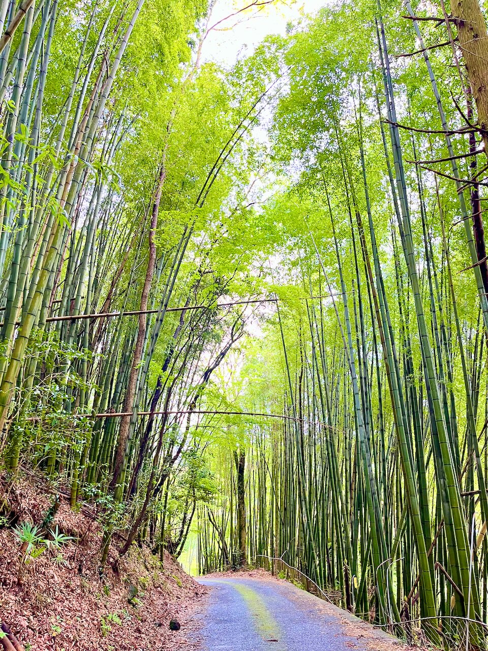
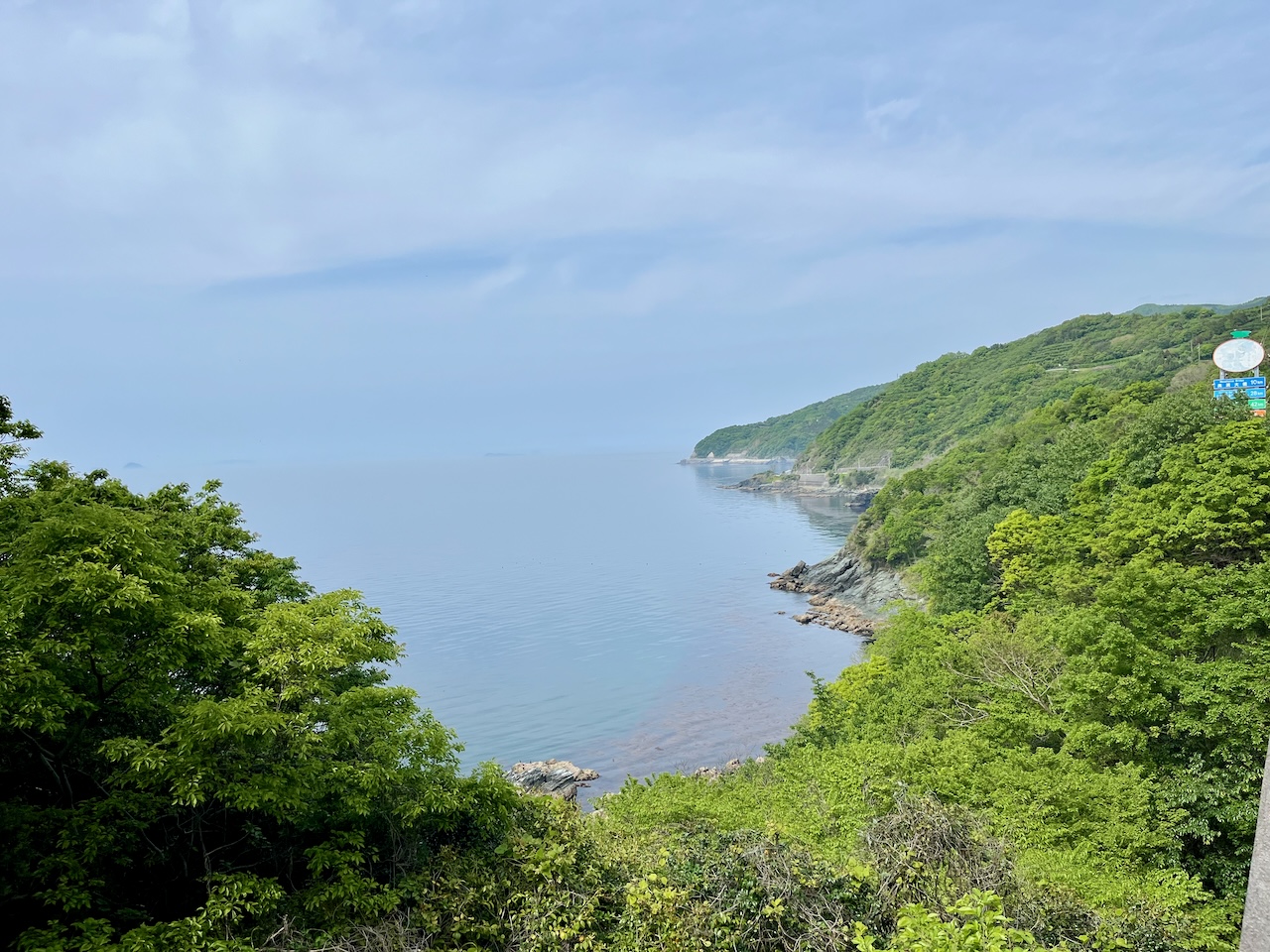
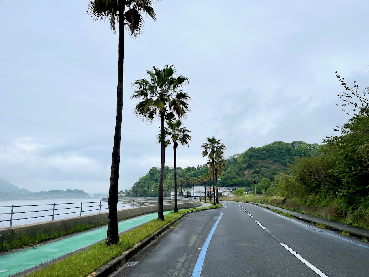
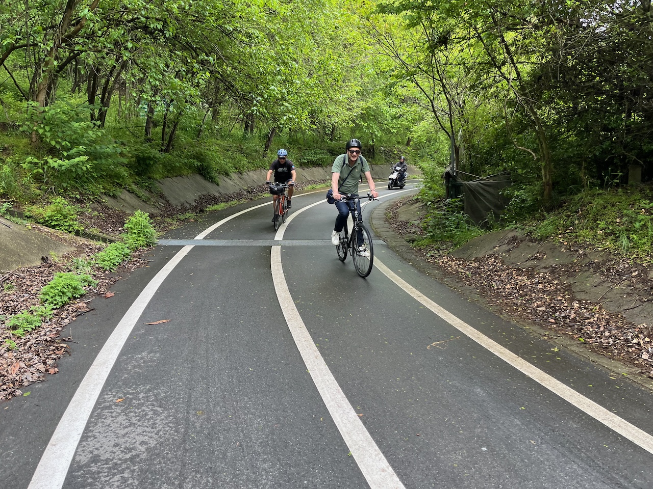
Nice scenery on Ikuchi Island. Never seen palm trees in Japan before. Something about this picture reminds me of a scene in Zwift.

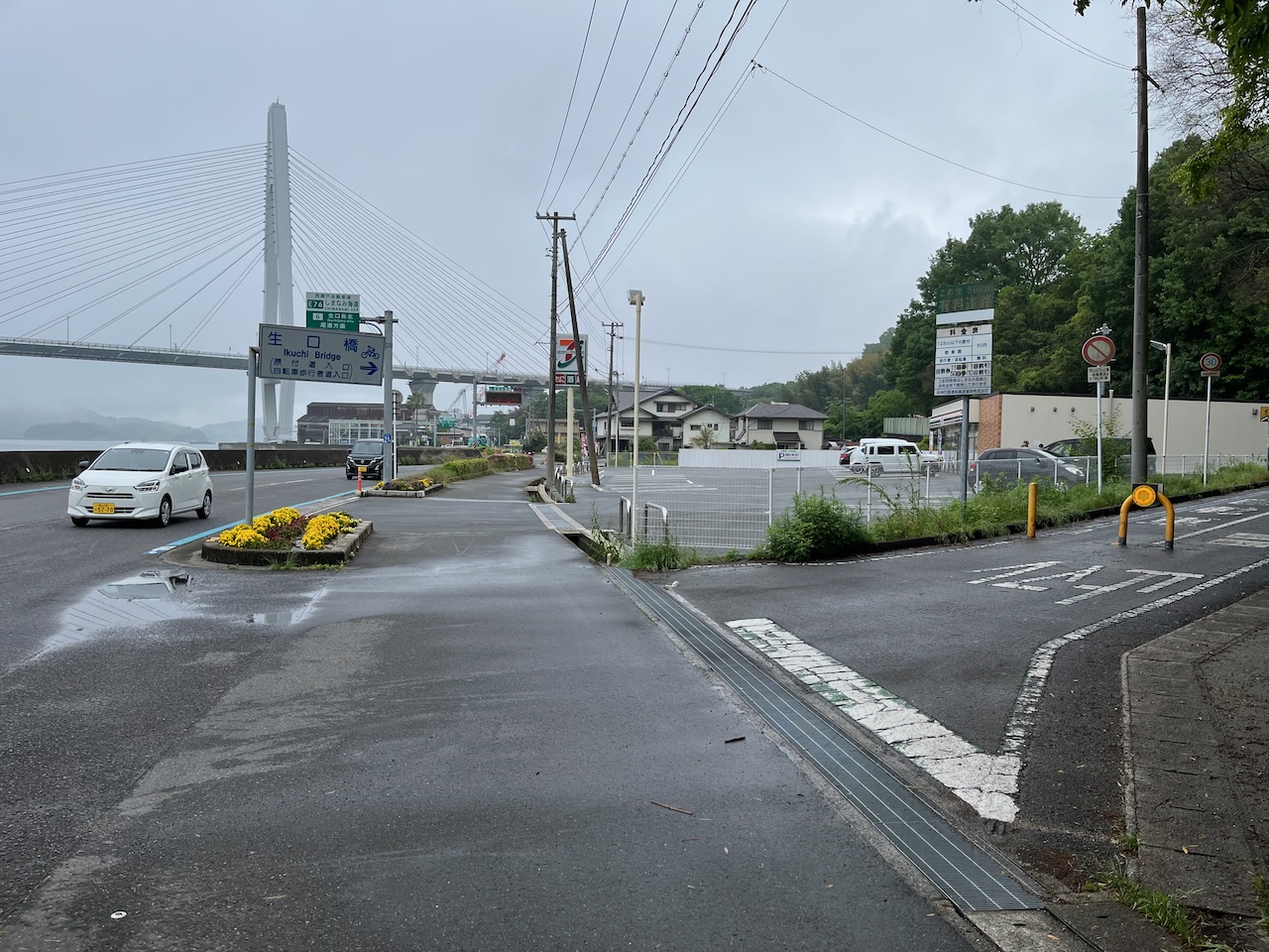
Approaching the Ikuchi bridge.

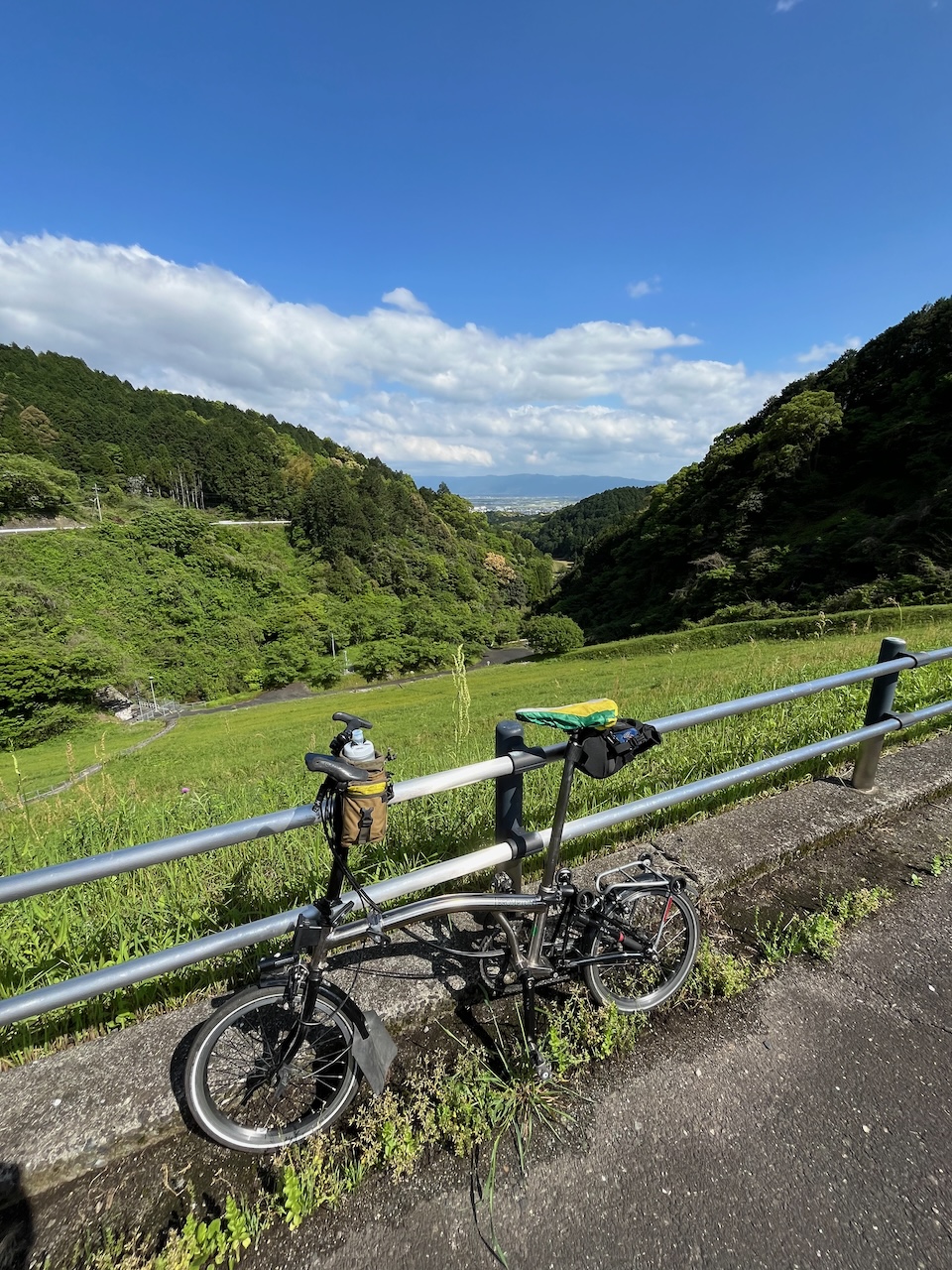
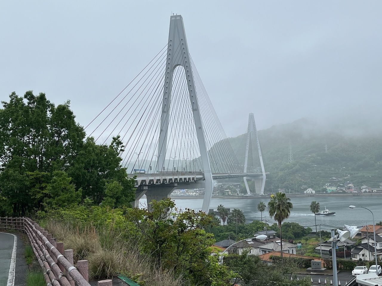
Partway up the climb, from this spot you can see both the previous bridge, and the one I am about to cross.

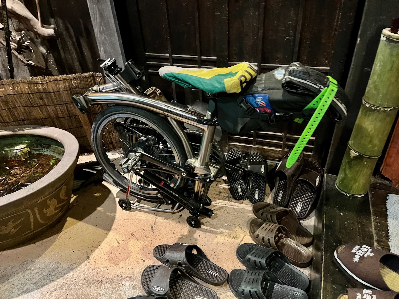
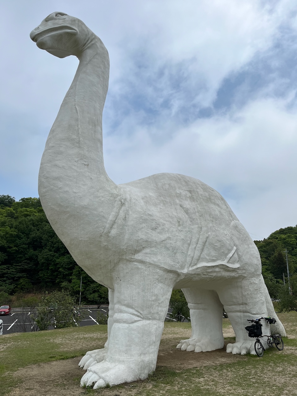
Random albino bracheosaurus, with brompton for scale.

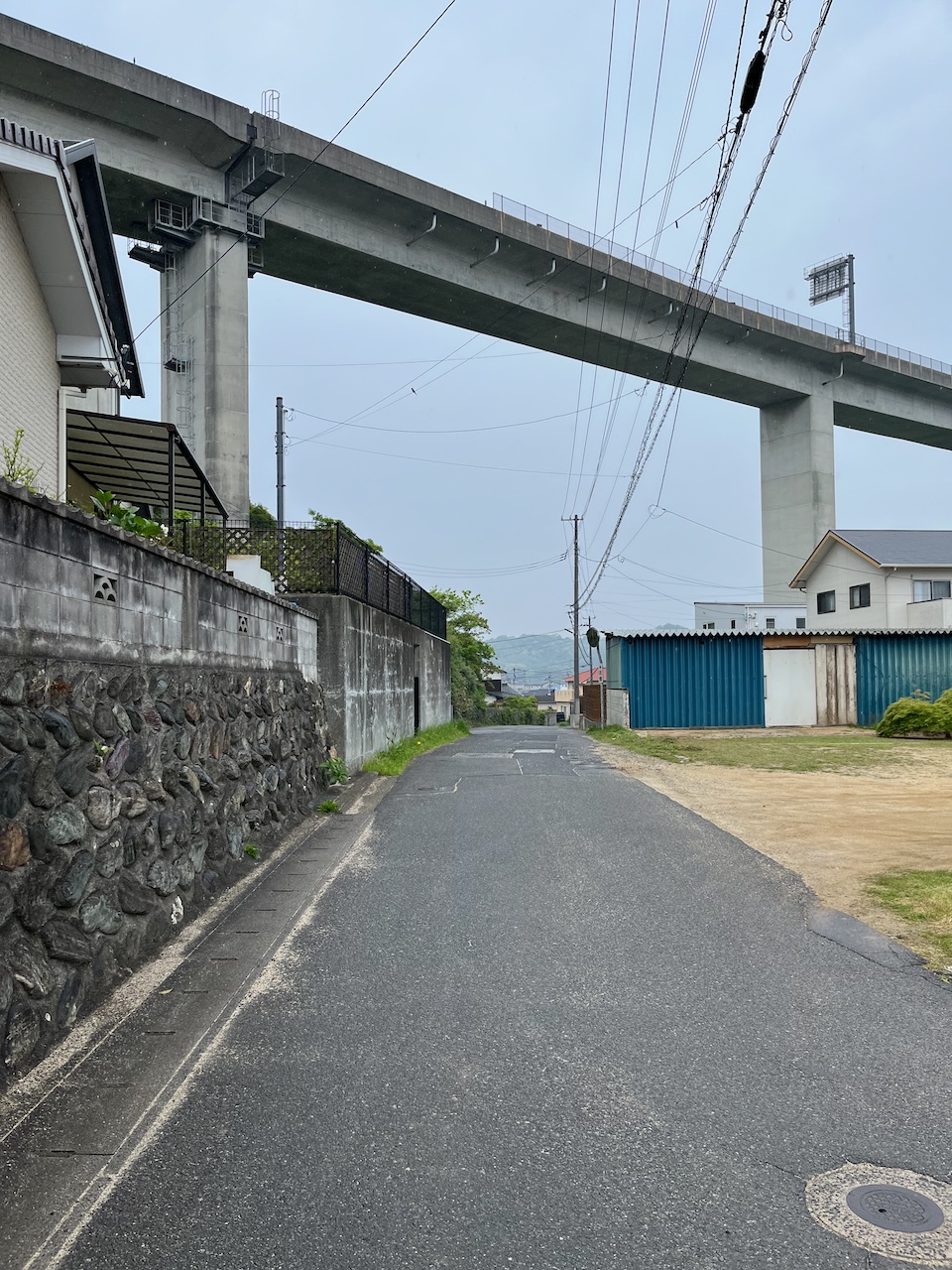
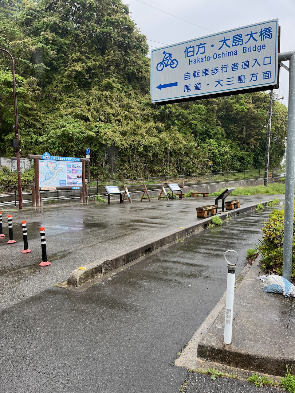
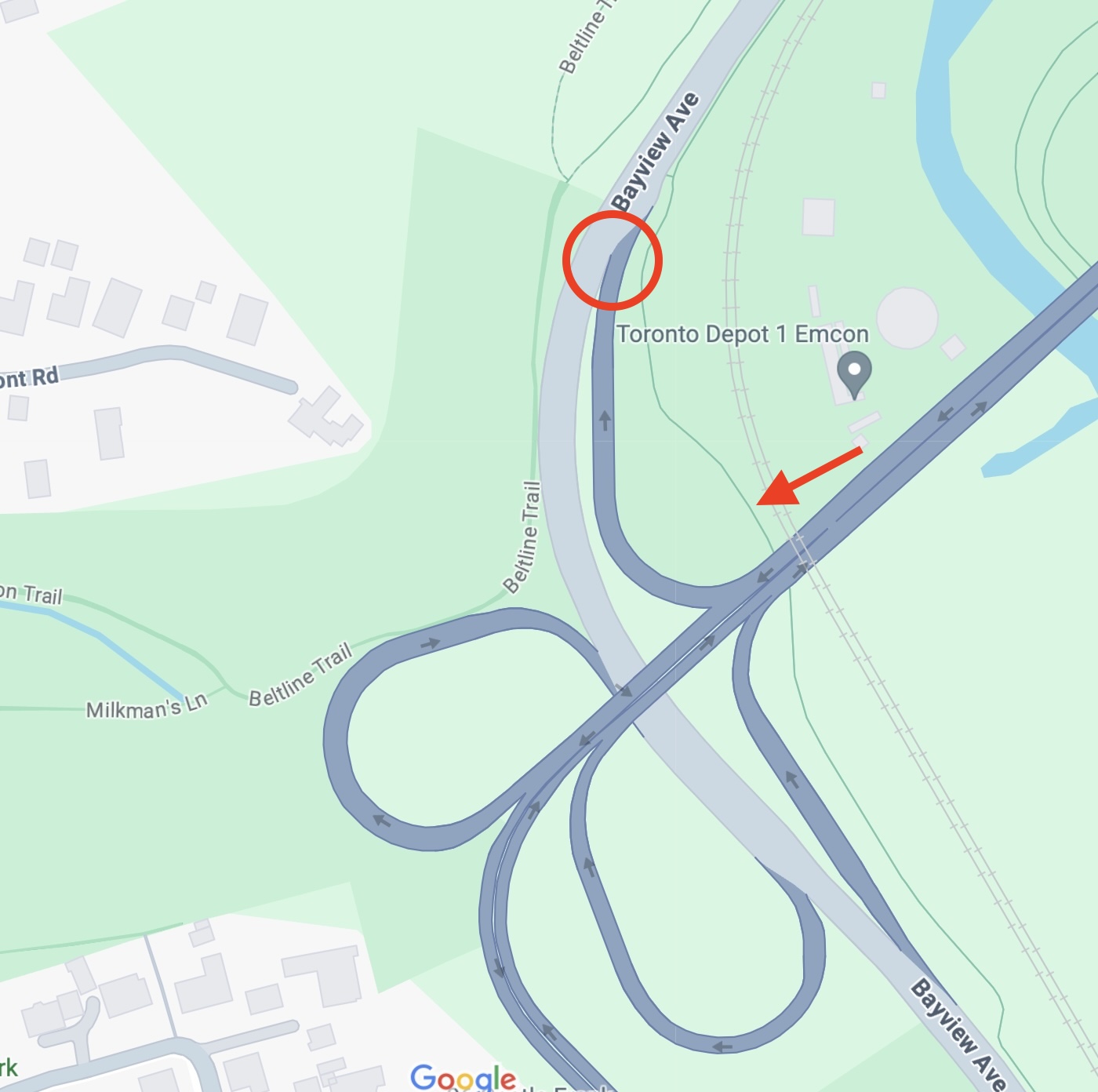
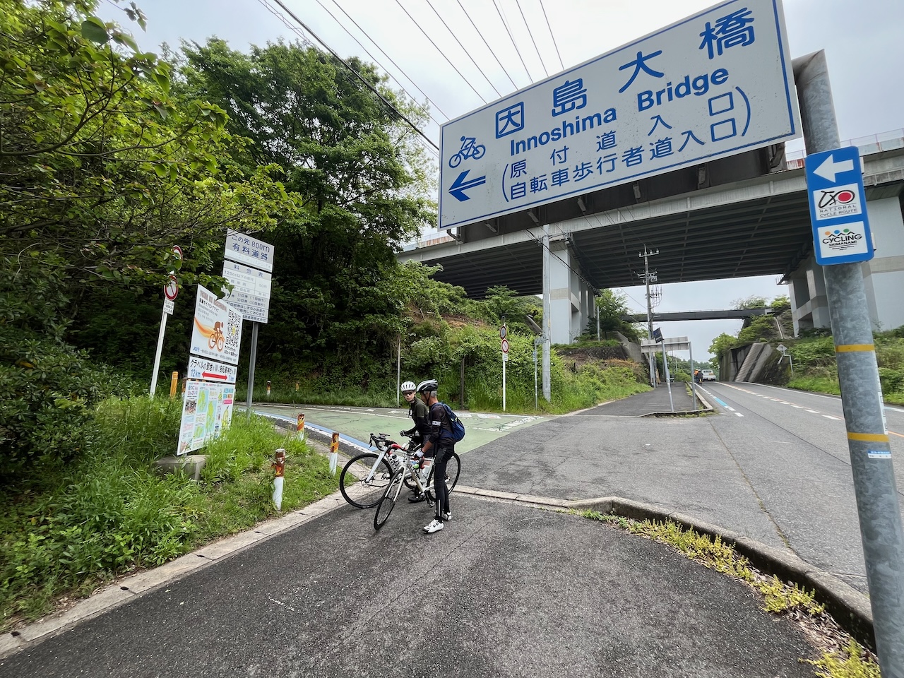
Turn off for the next bridge, just up the hill from the dinosaur.

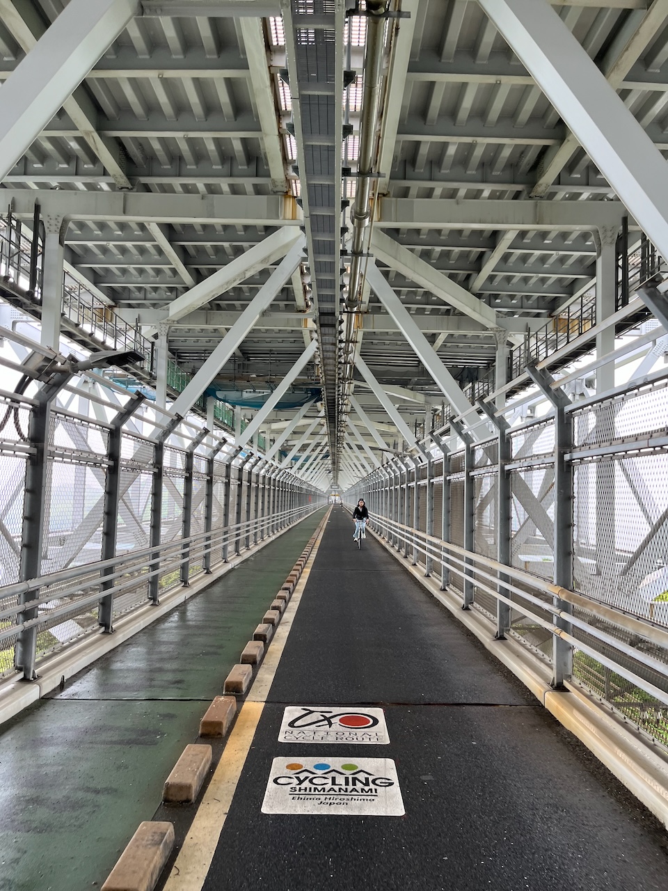
On this bridge, you are on a lower deck.

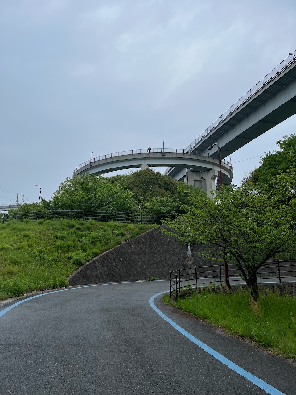
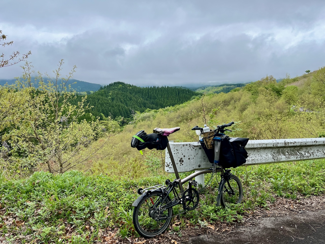
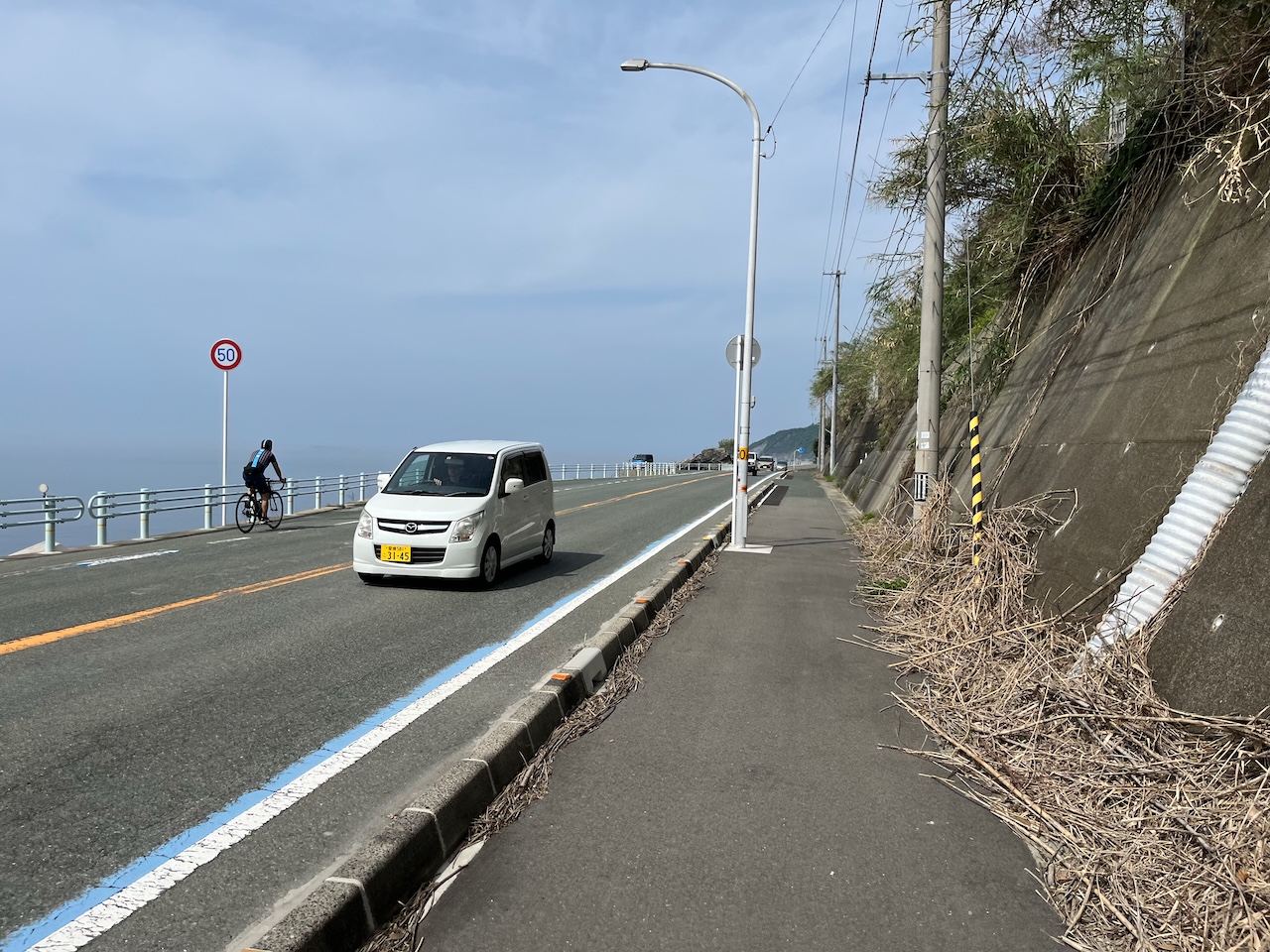
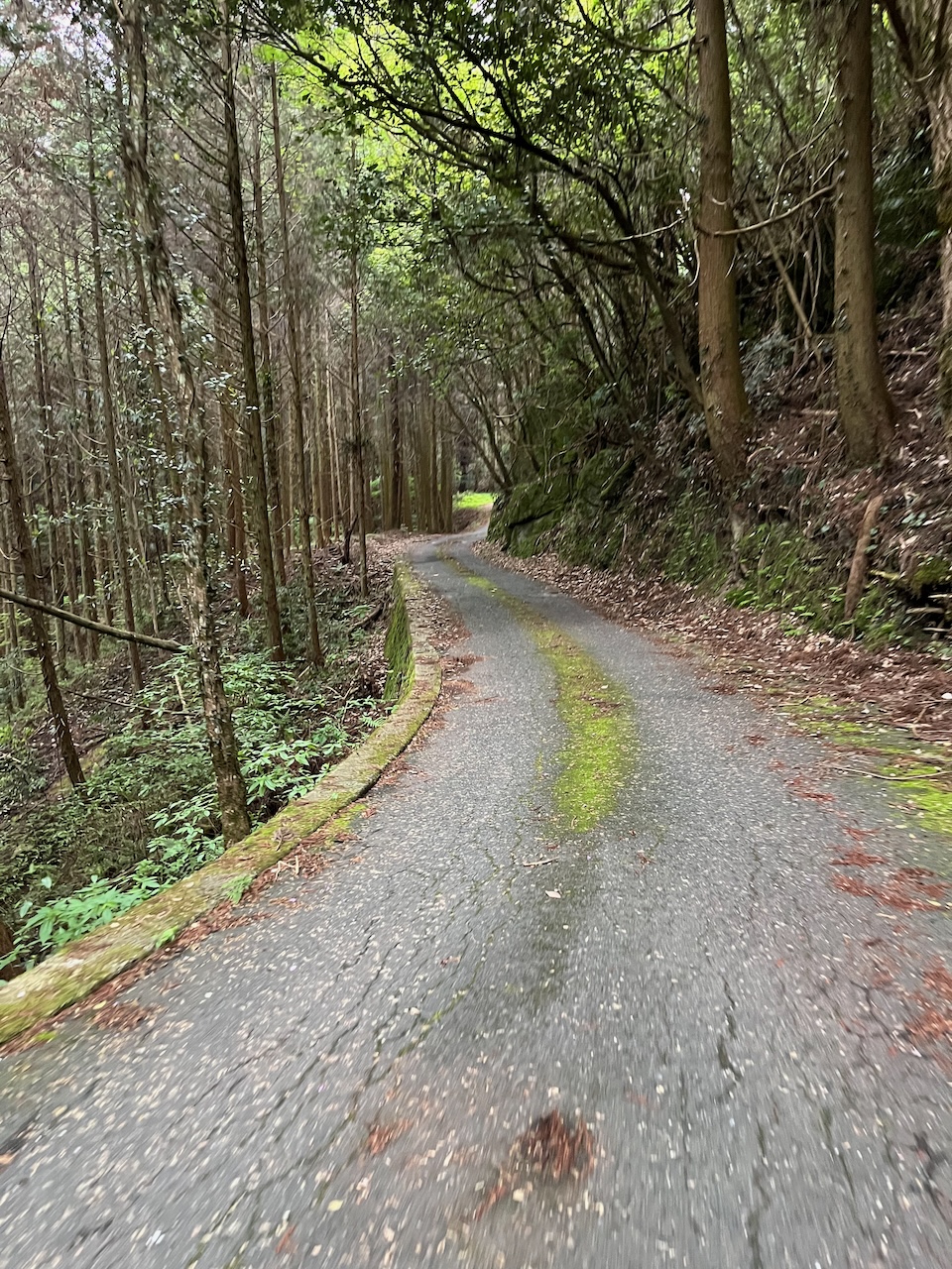
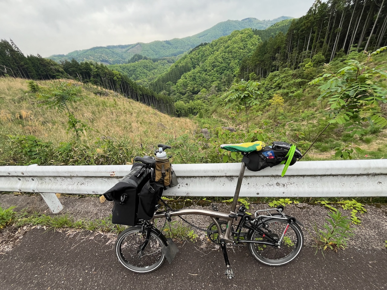
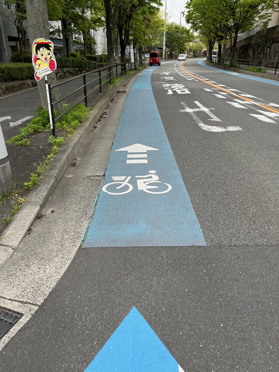
All of the infra leading up and down from each bridge has been impressive. The spiral ramp just out of Imabari was spectacular, but equally important are the switchback roads that lead to or from each bridge. Everything is laid out so that the maximum grade one sees is about 3%.

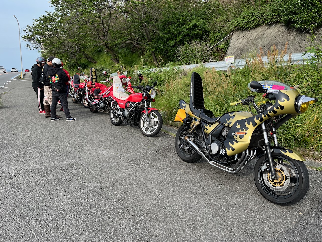
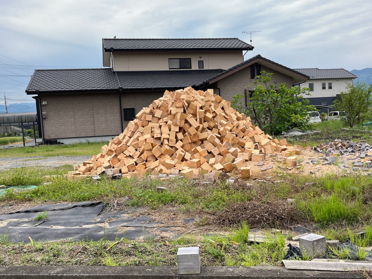
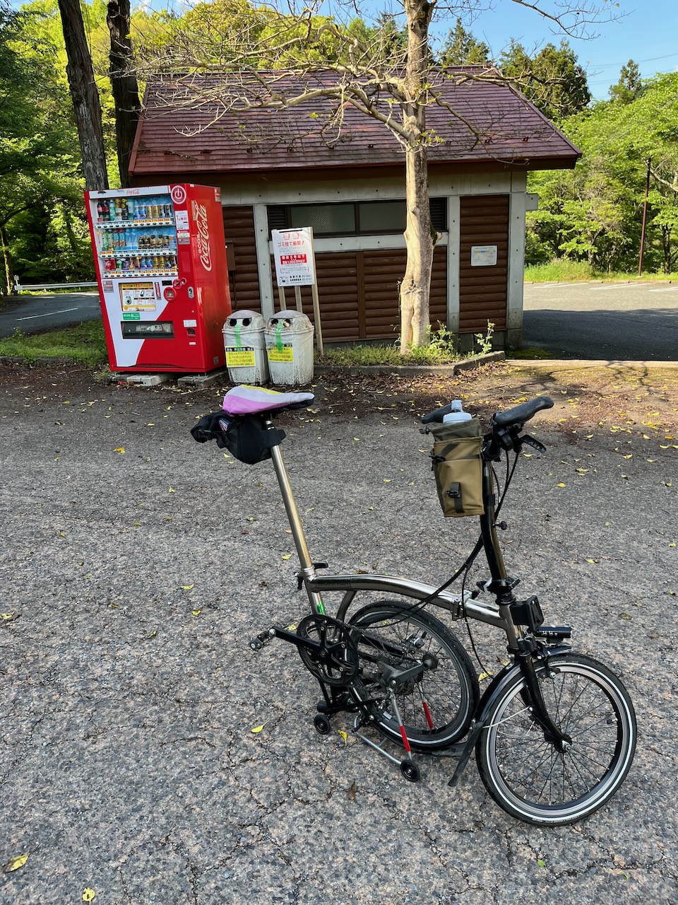
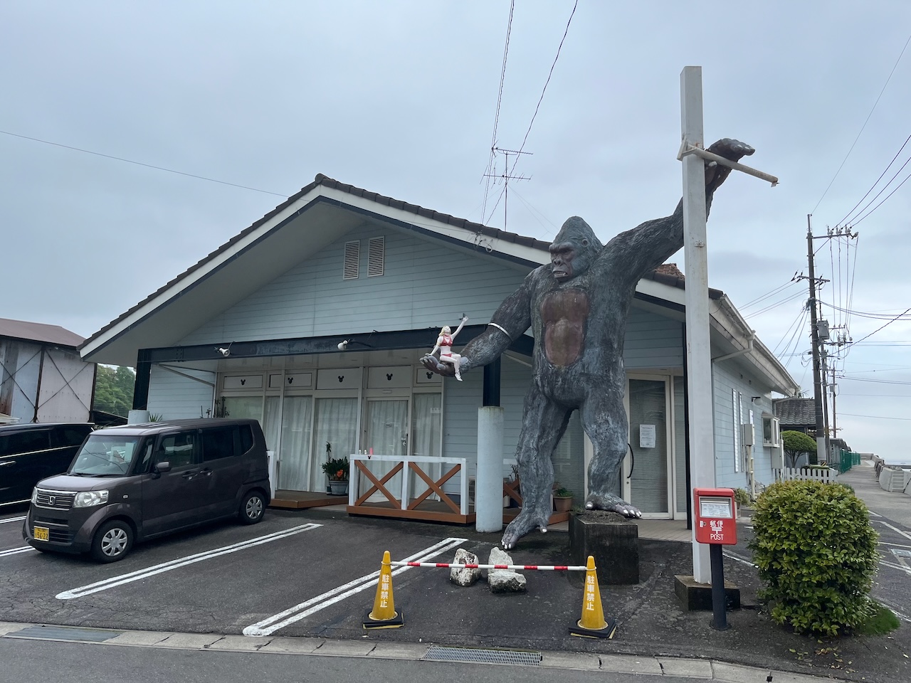
Random roadside item on Mukaishima.

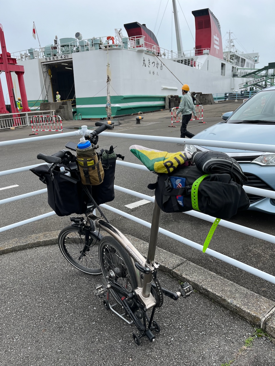
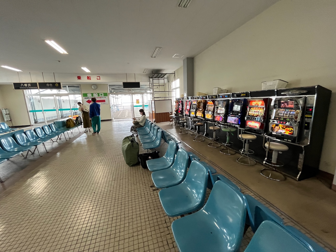
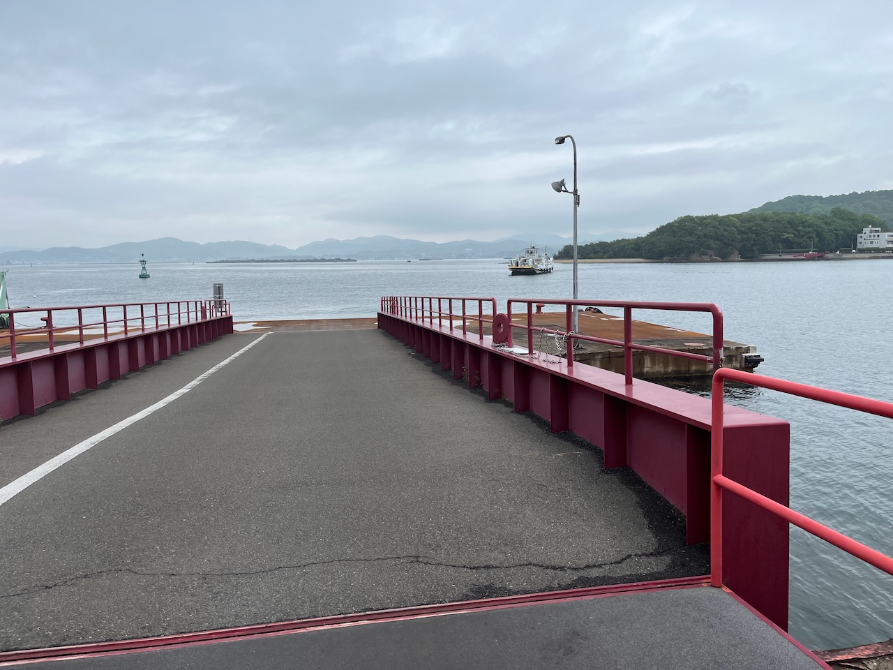
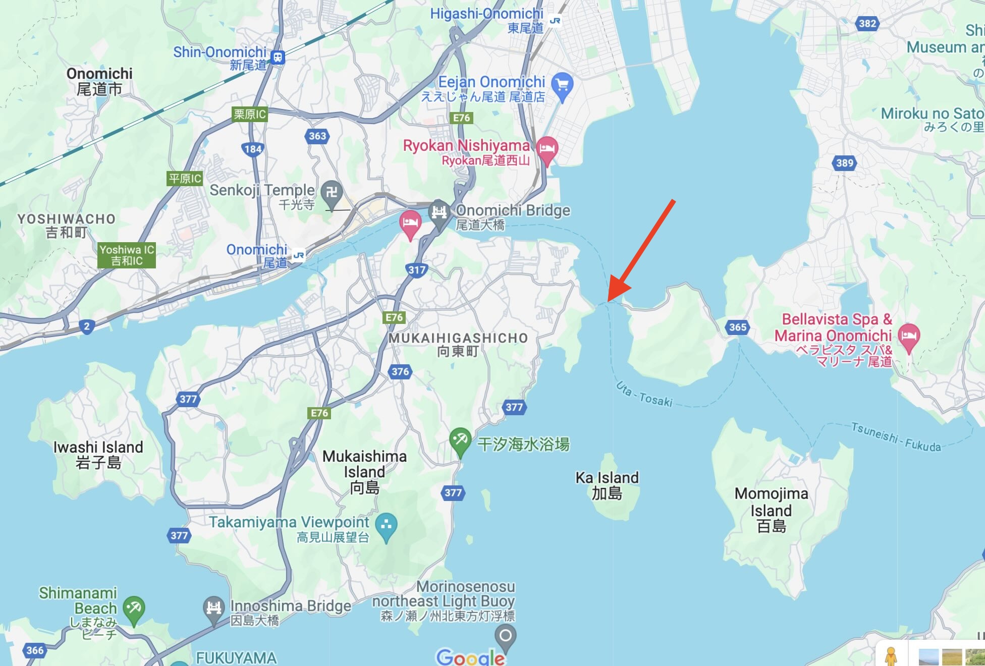
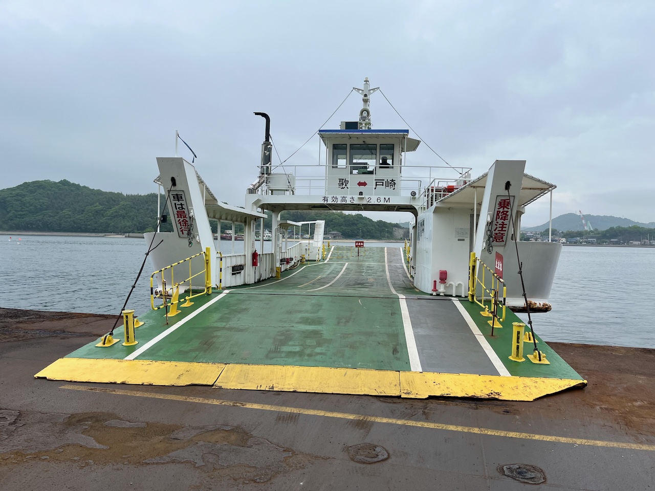
I had heard that the last bridge to Onomichi is not that bike friendly, so I elected to bypass Onomichi with a short ferry ride to the mainland.

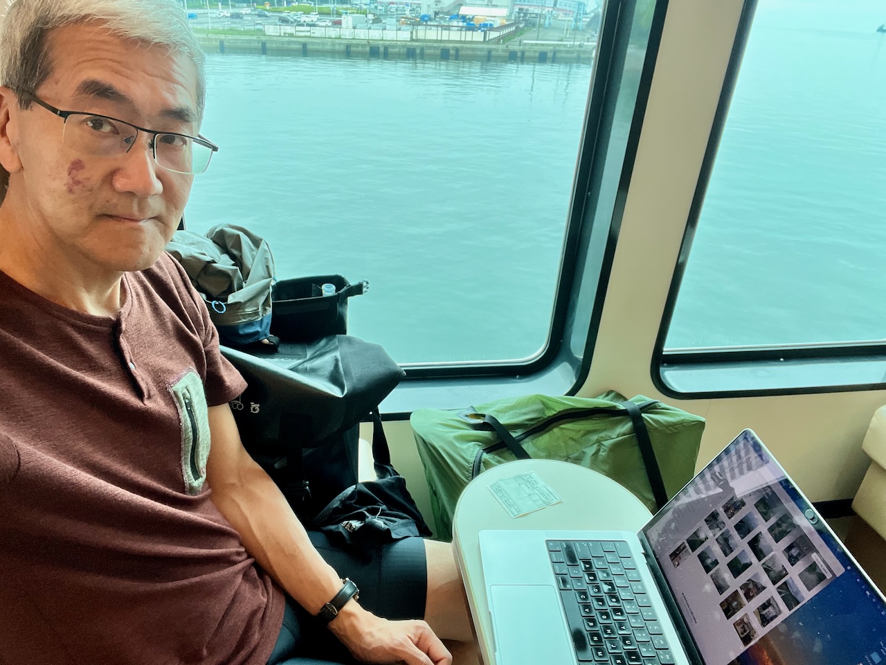
Never been on a ferry where I am the sole passenger. Fare was 180 yen plus 30 for the bike.

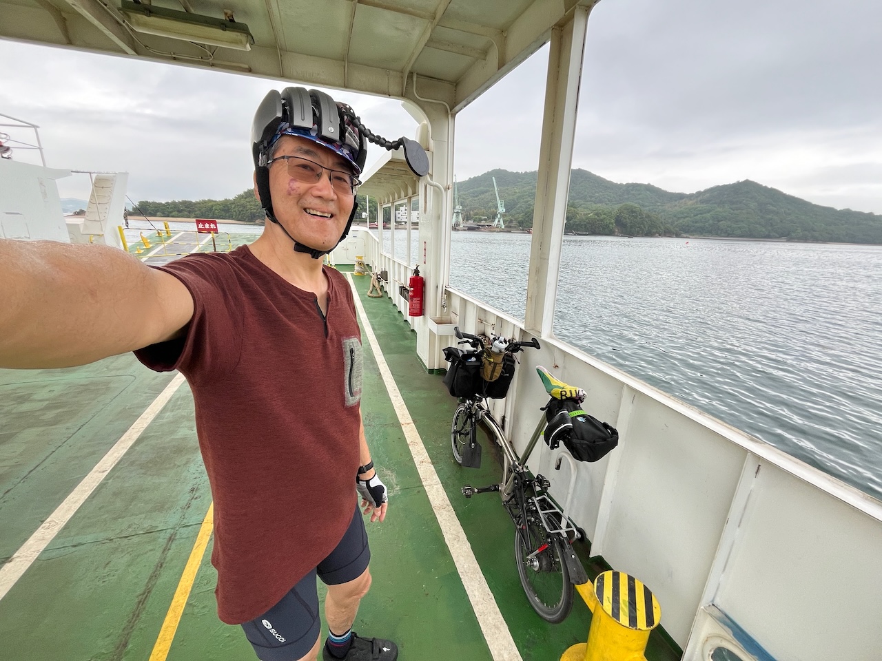
Goodbye to the Shimanami Kaido, and hello to the mainland.

A reminder that ships are still large things made of welded steel.

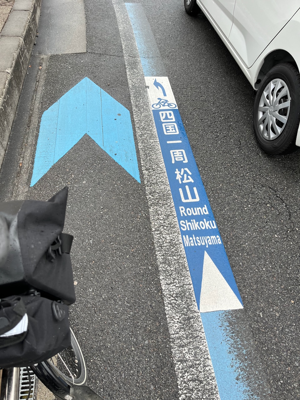
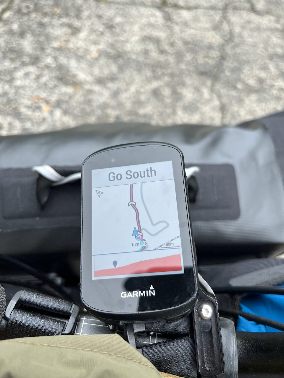
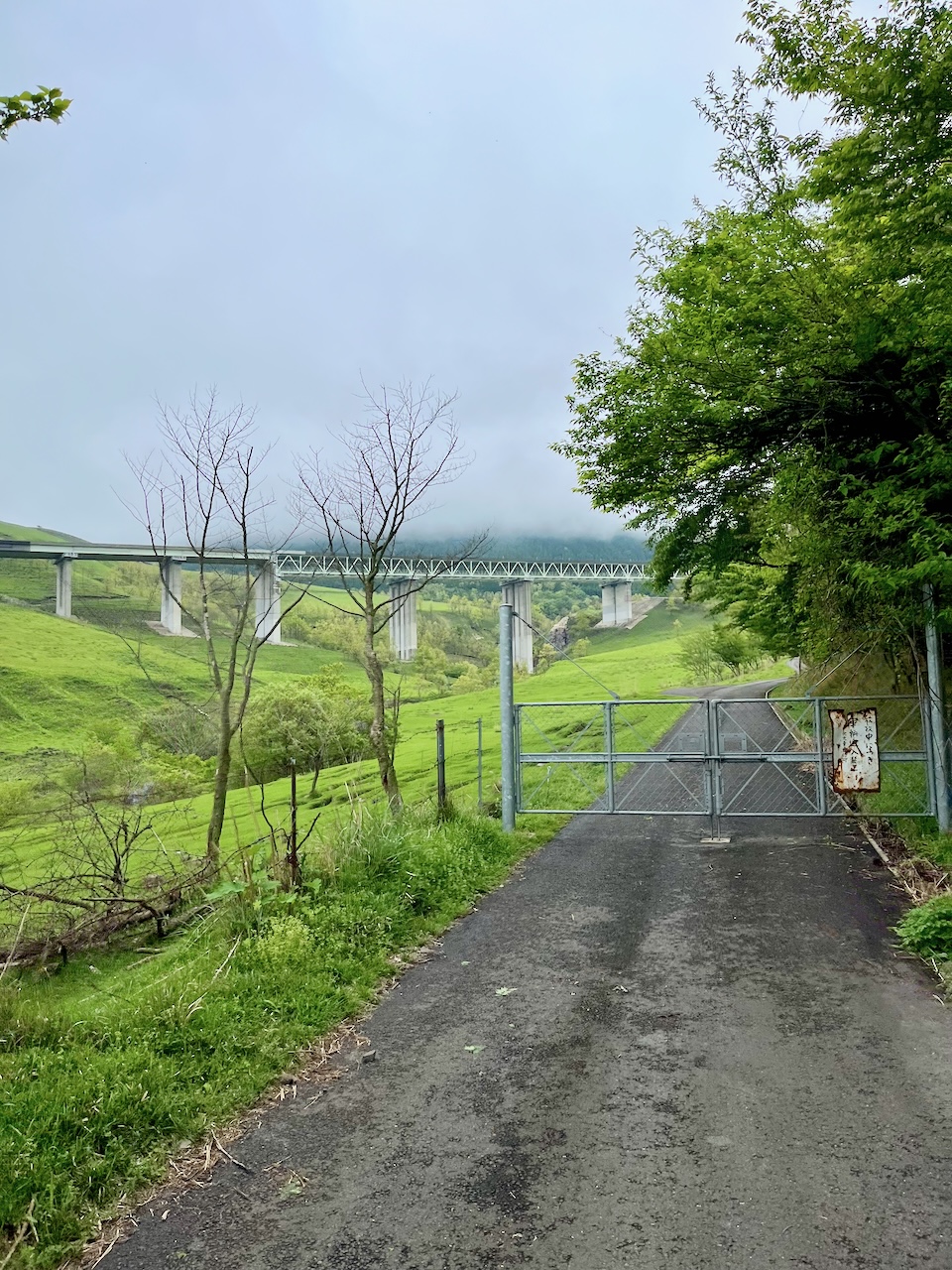
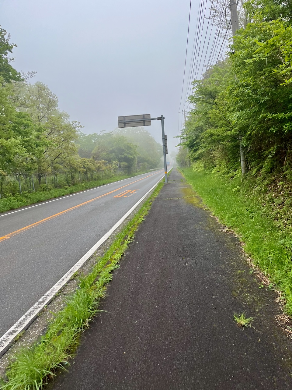
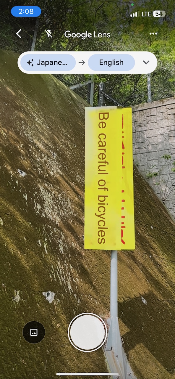
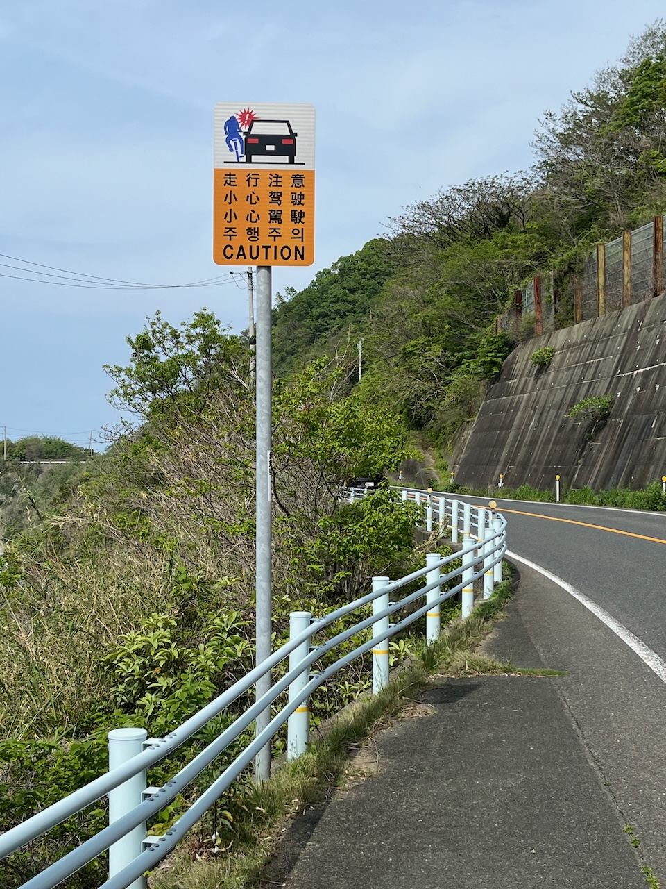
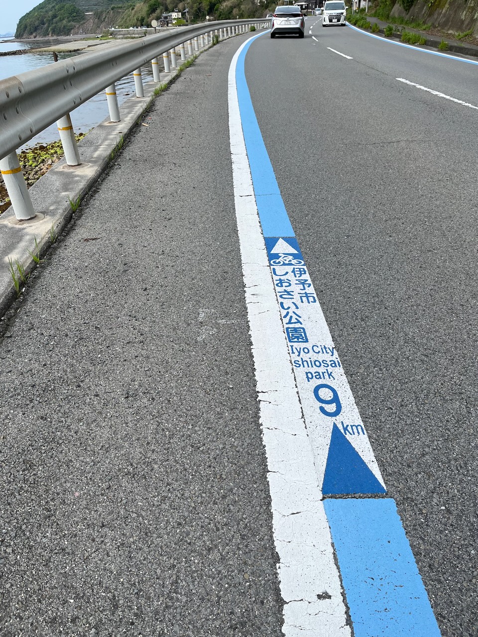
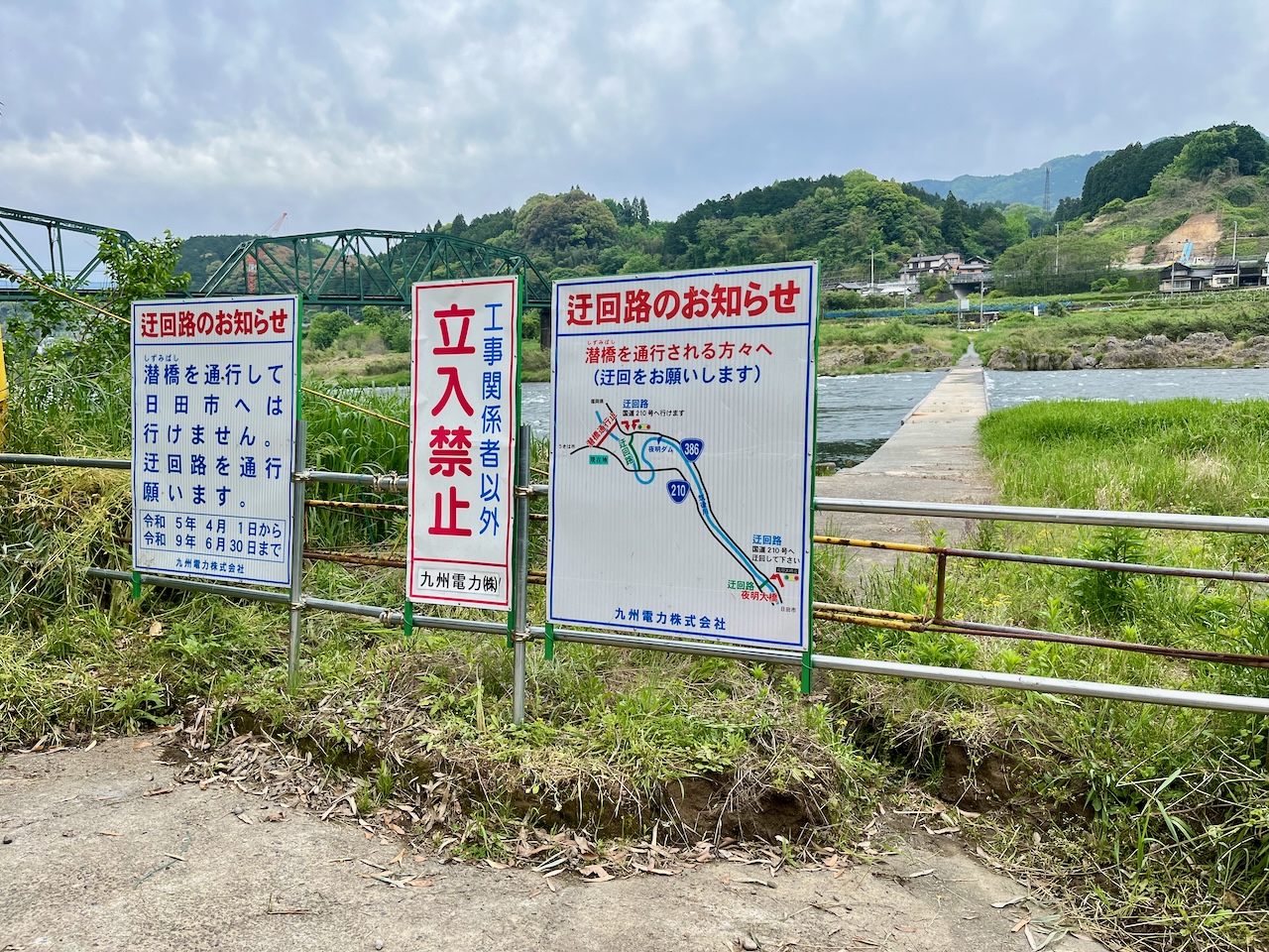
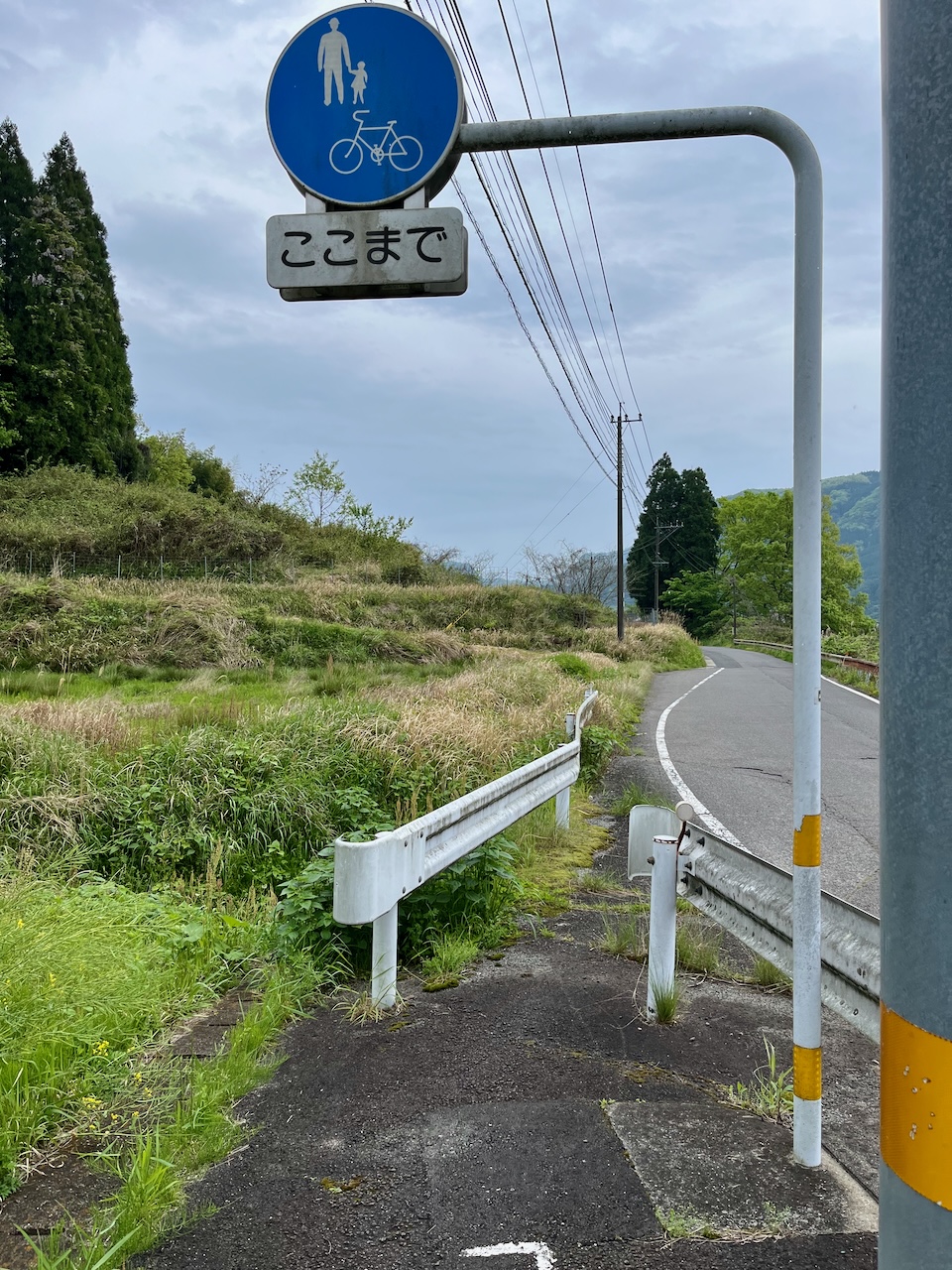
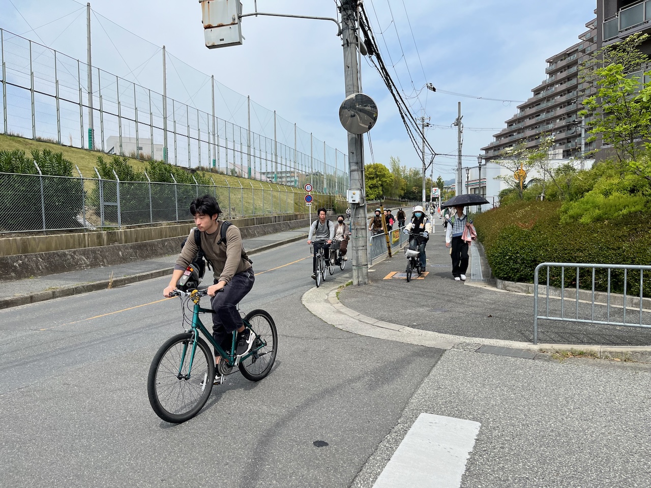
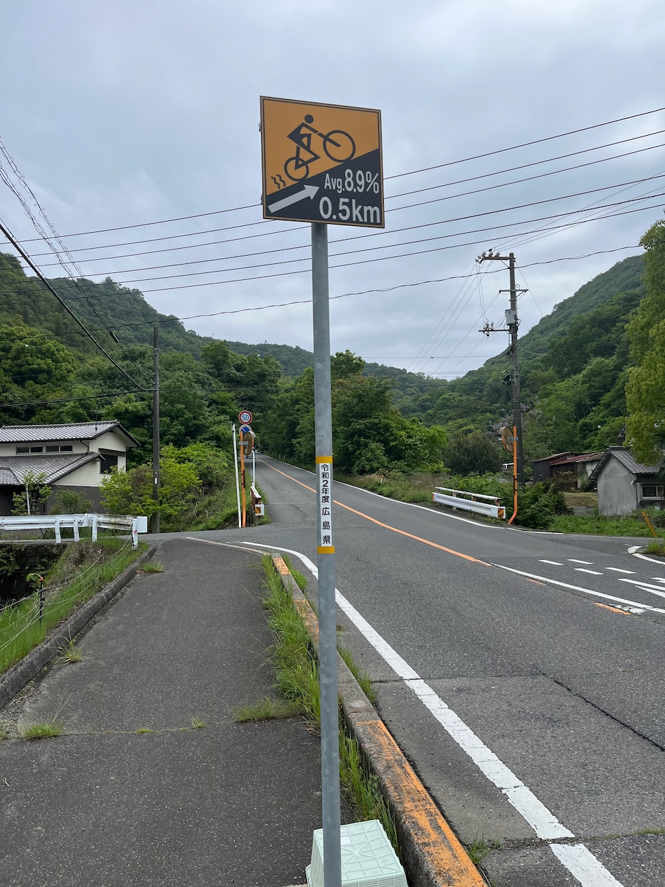
There is wayfinding, but this in no way indicates that there is safe bike infra along the route.

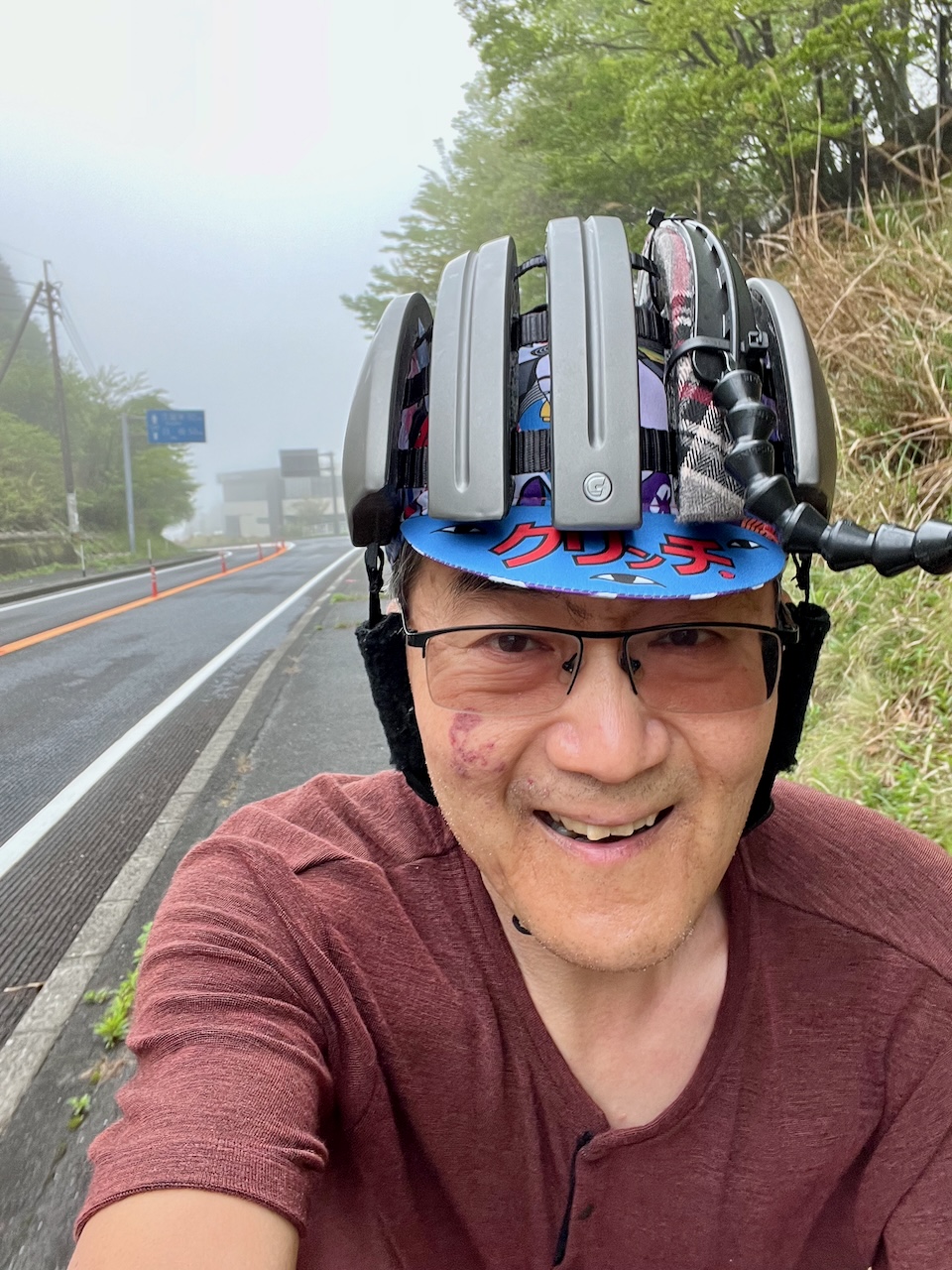
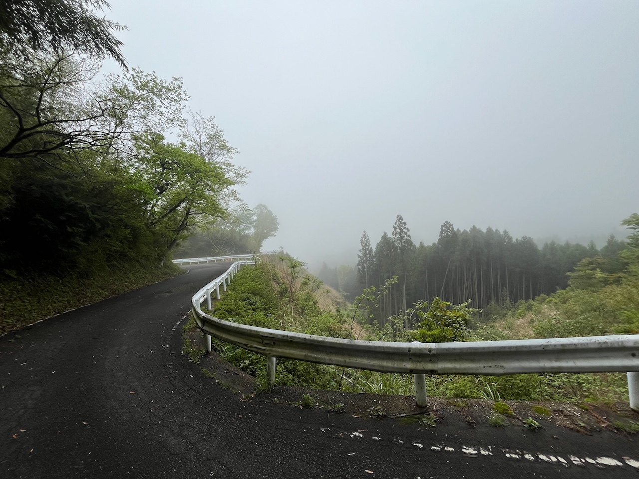
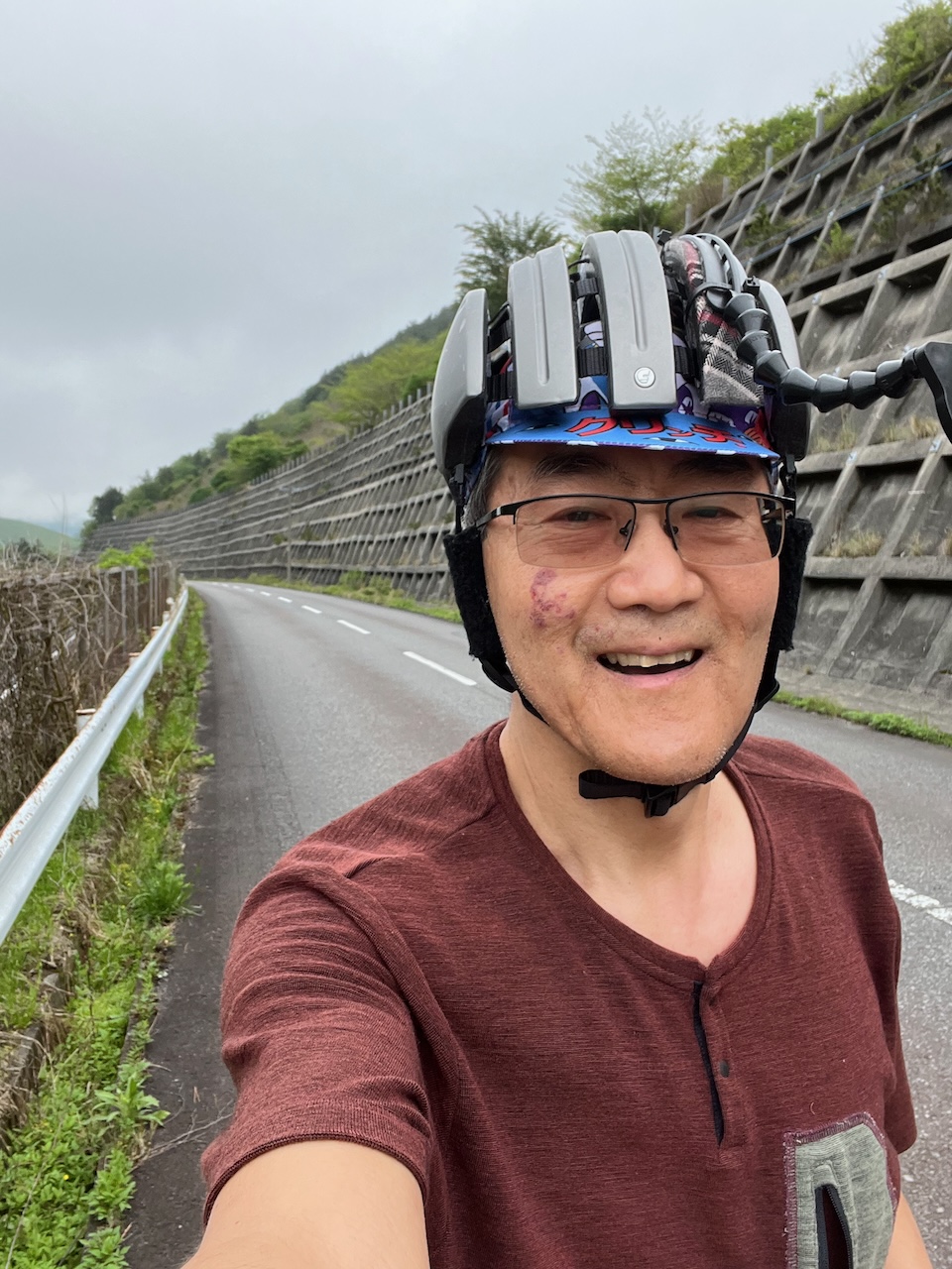
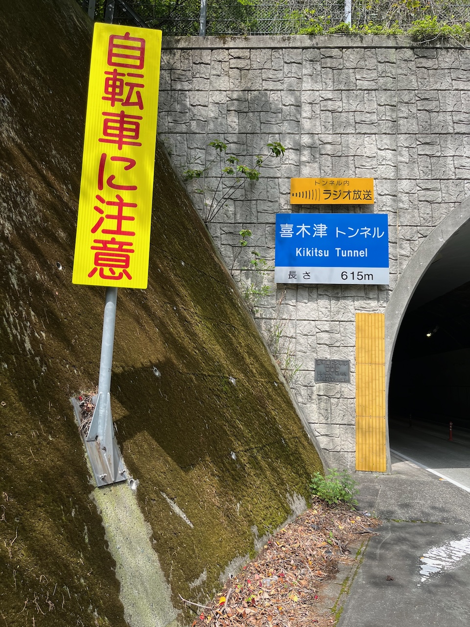
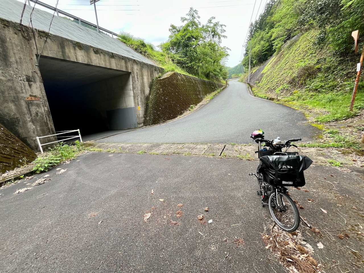
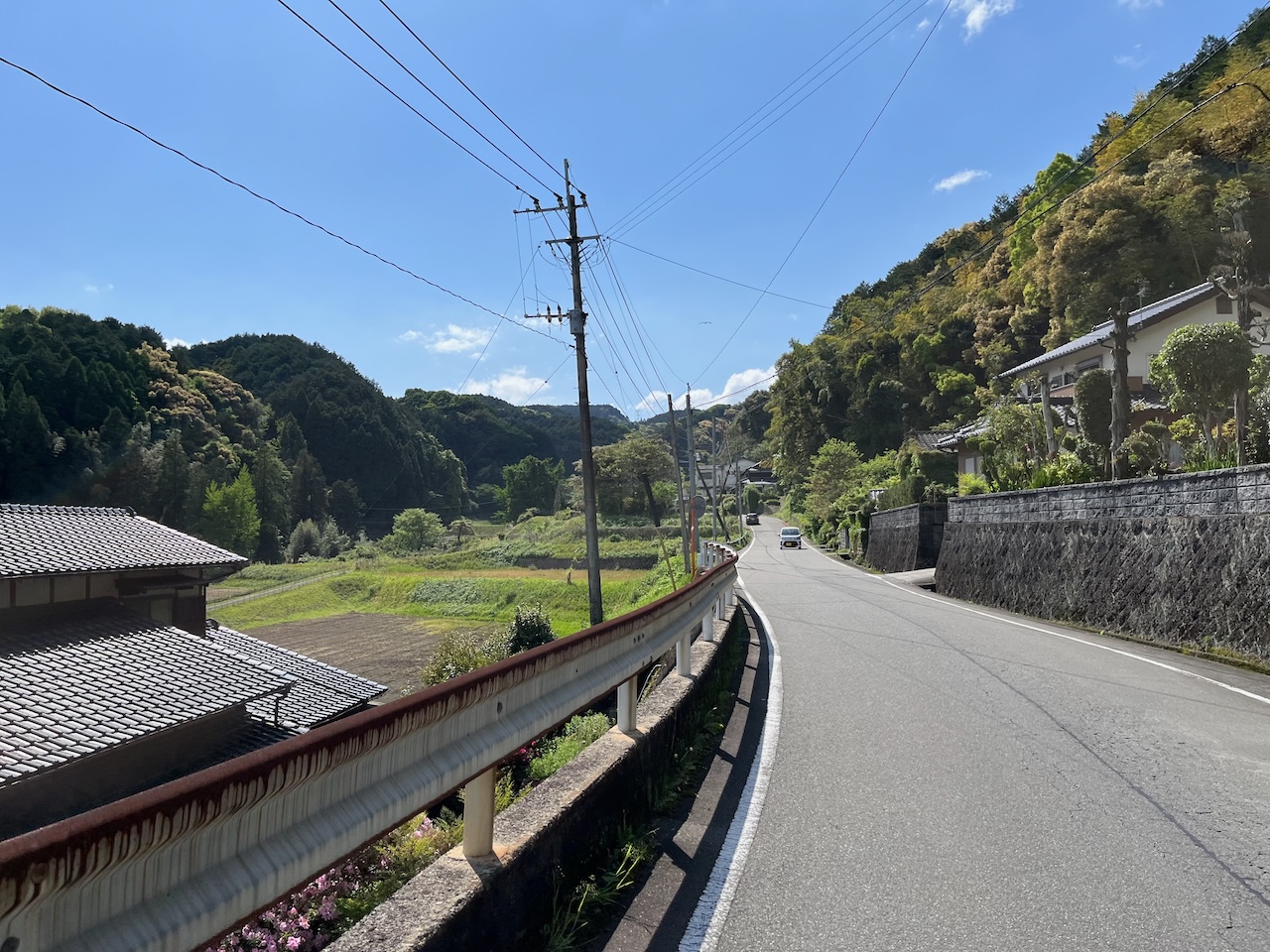
Here’s an example: one last nasty climb, and no shoulder to speak of.

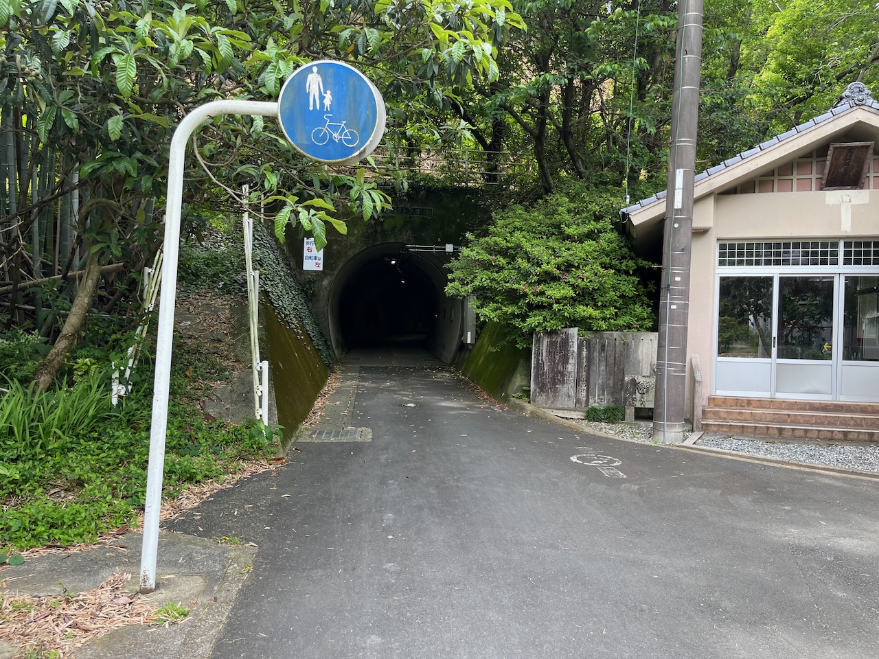
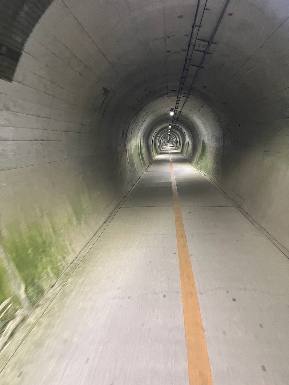
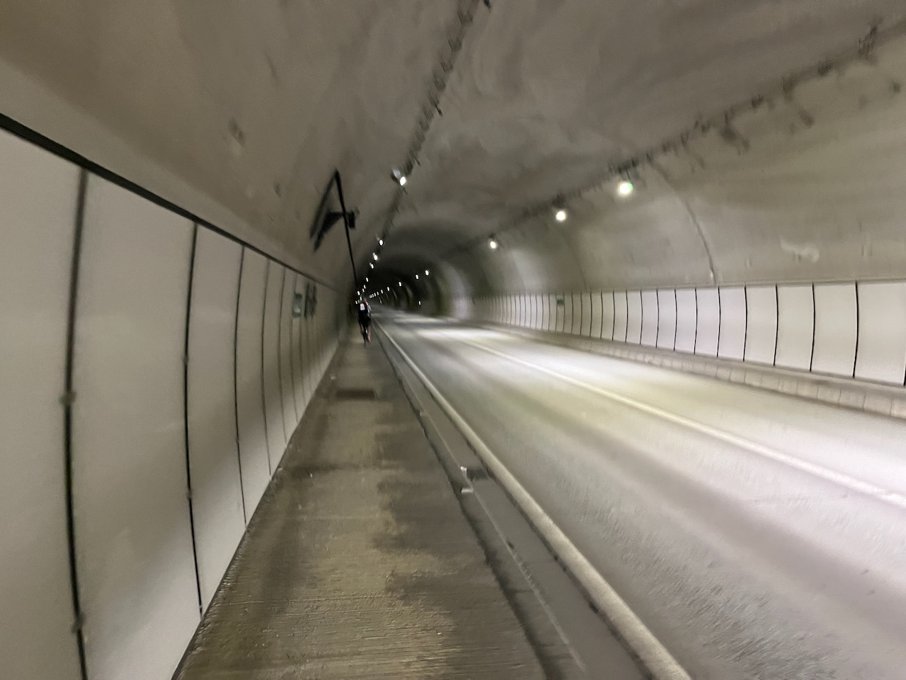
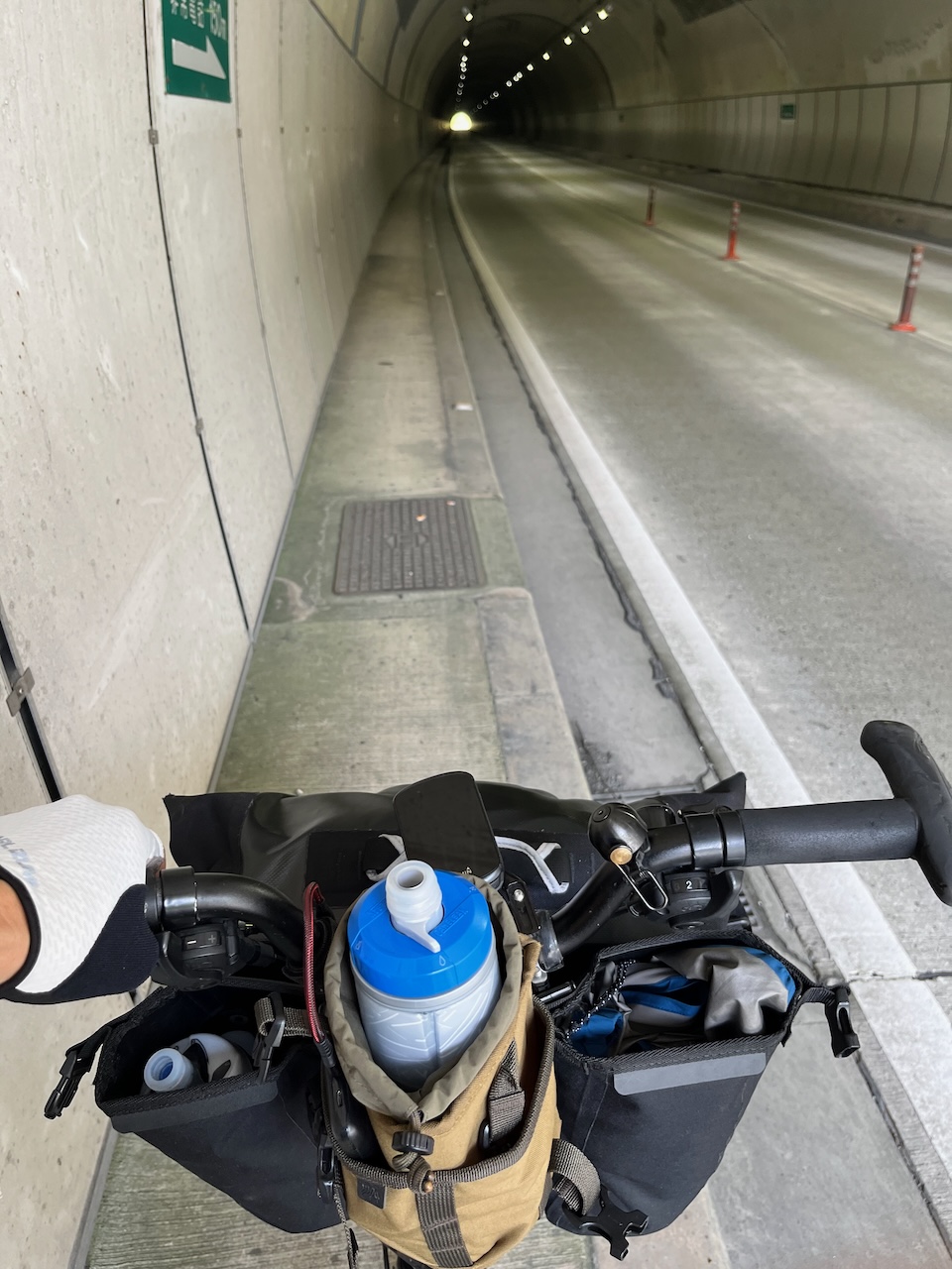
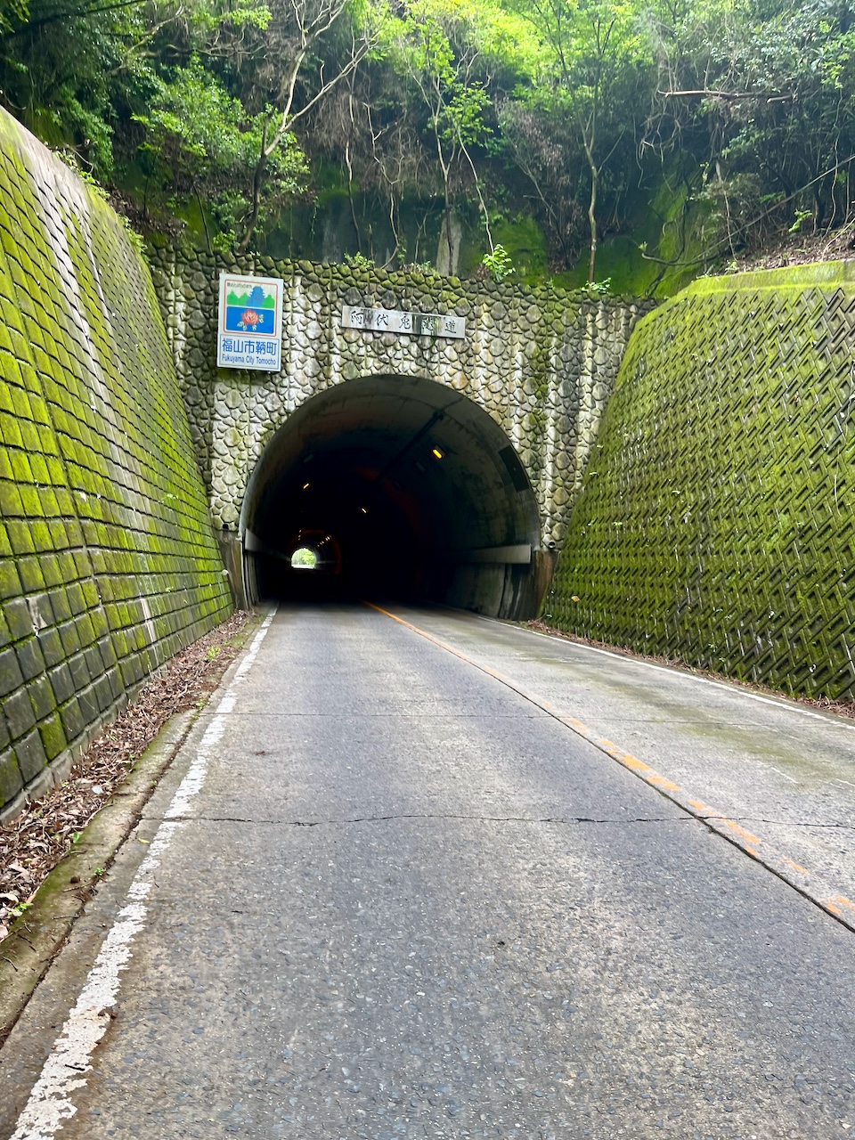
A tunnel at the peak. Fortunately a short, straight one.

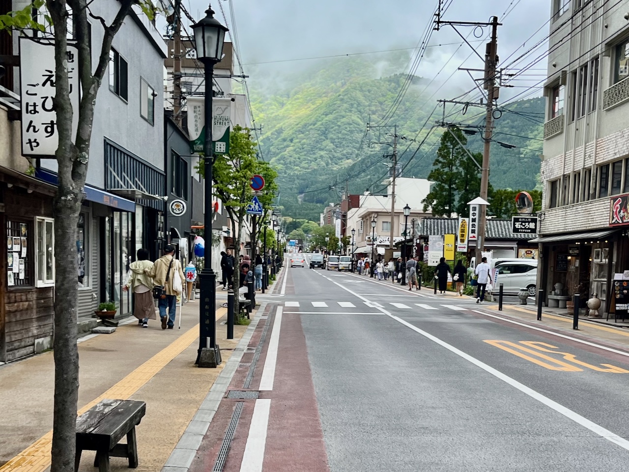
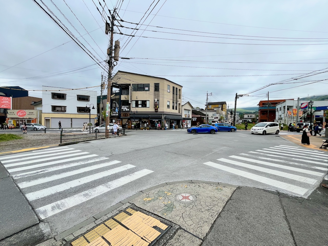
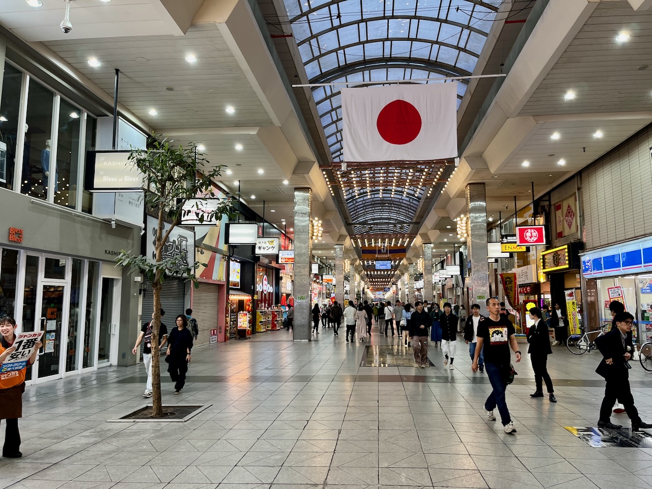
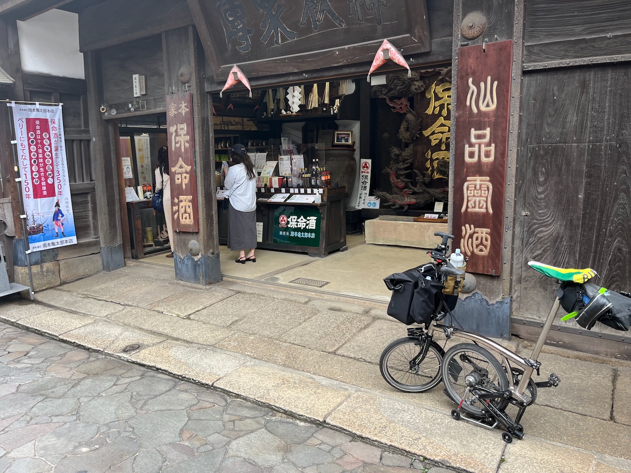
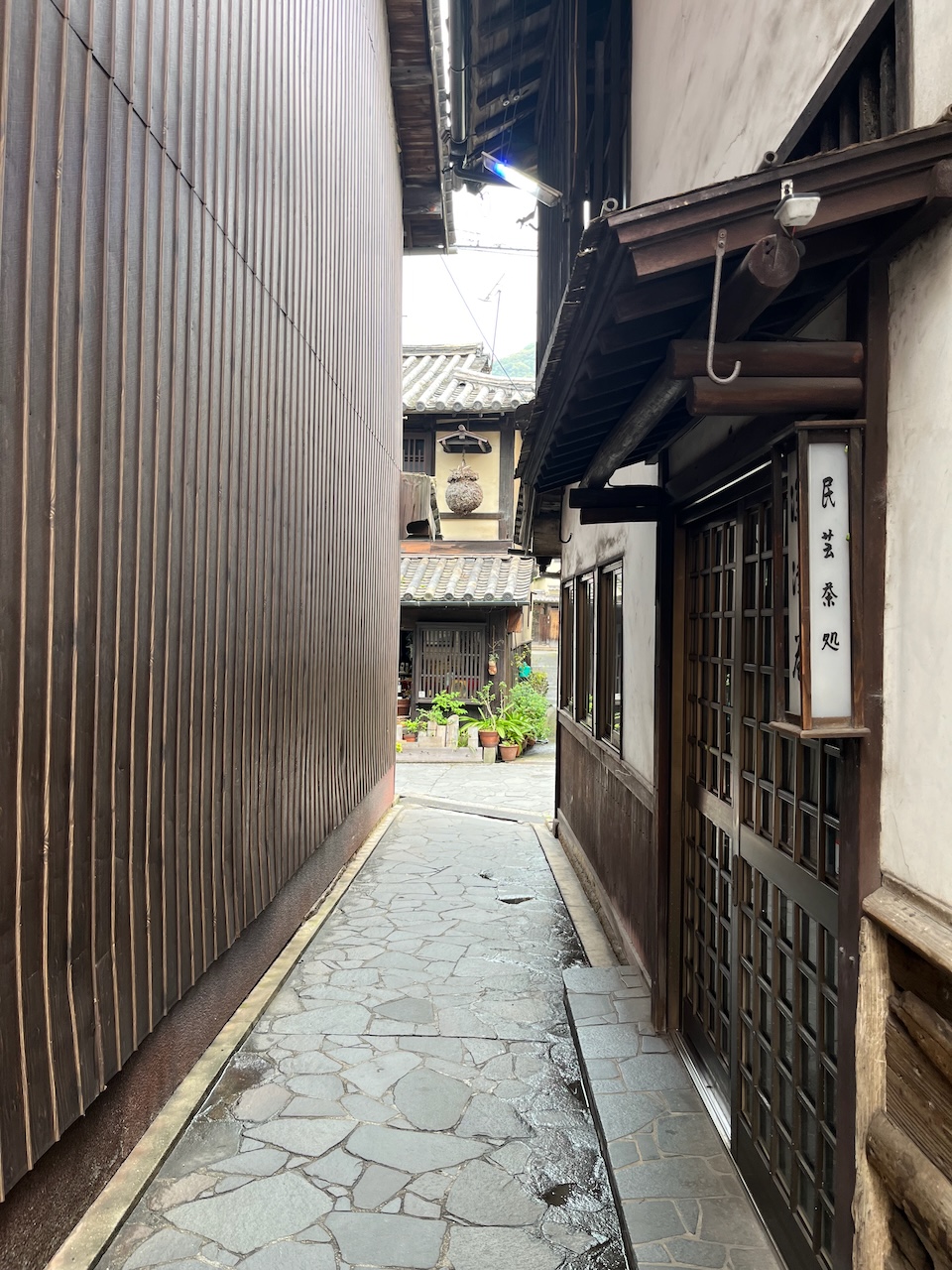
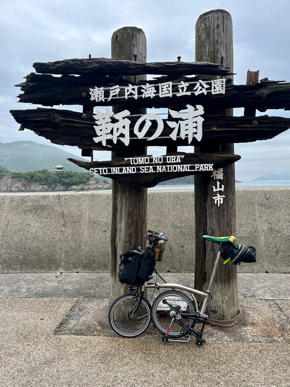
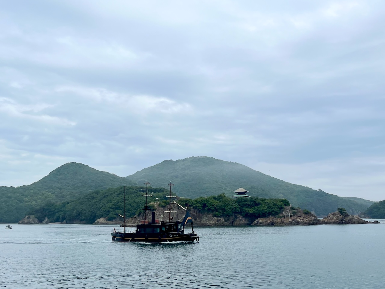
Now in the historical village of Tomo no Ura. I picked up some special mirin, and a liquor called “honmeishu”.

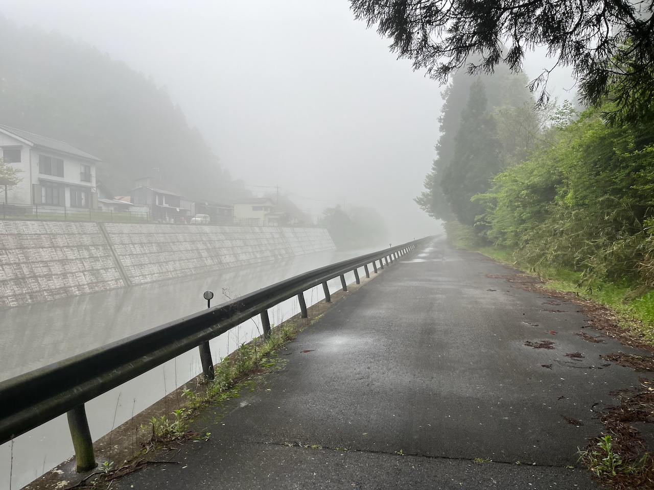
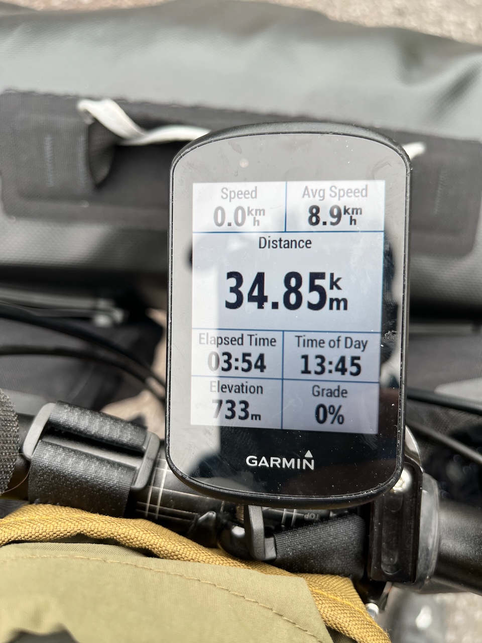
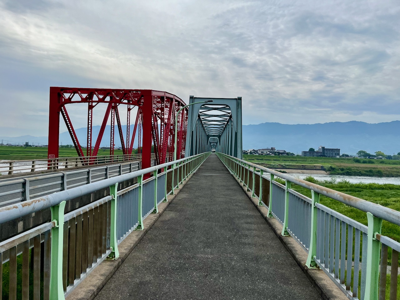
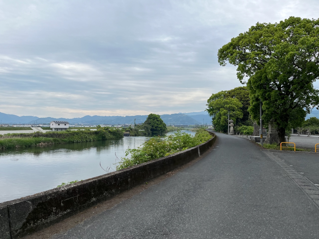
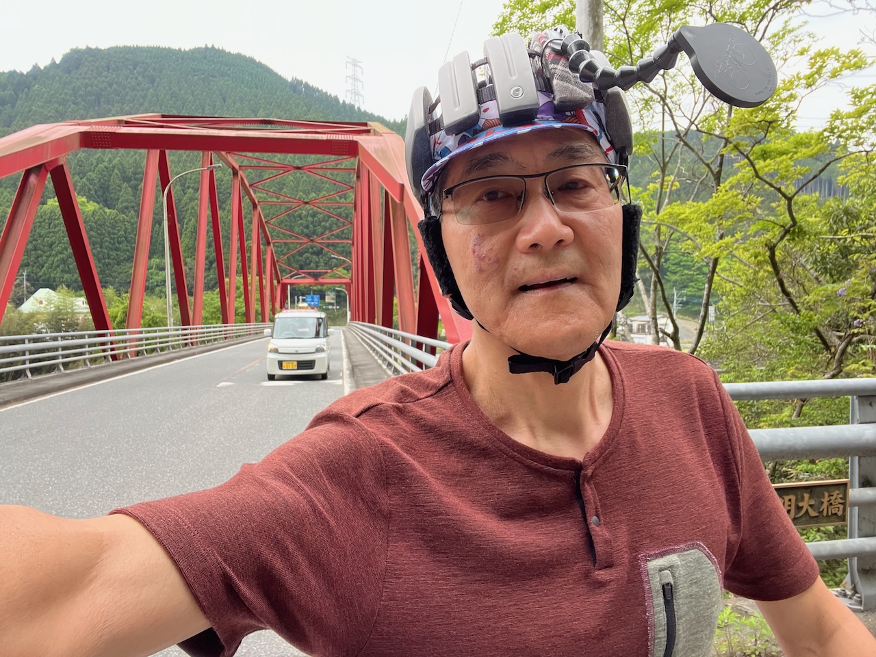
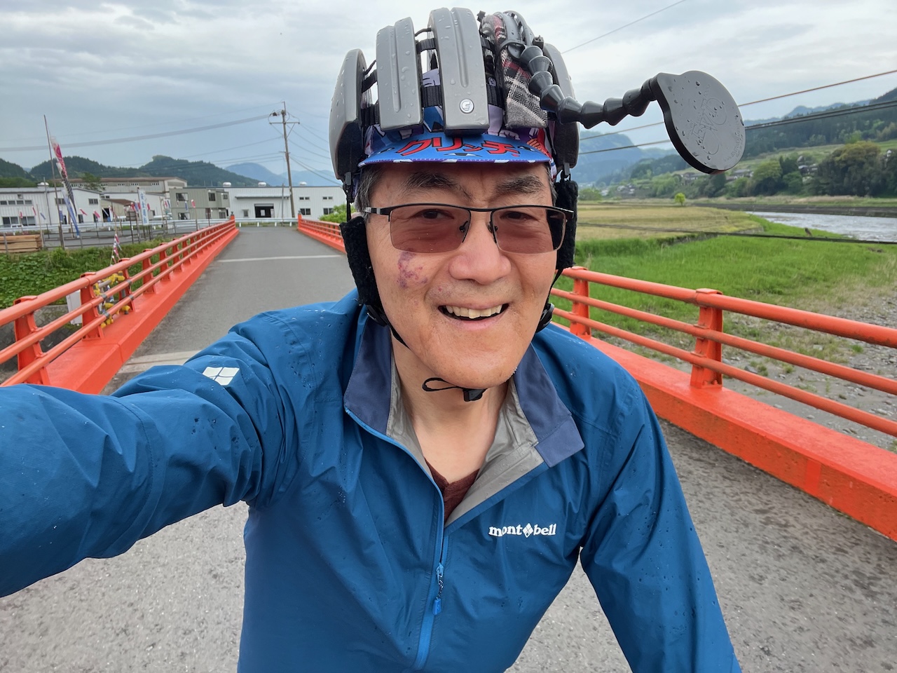
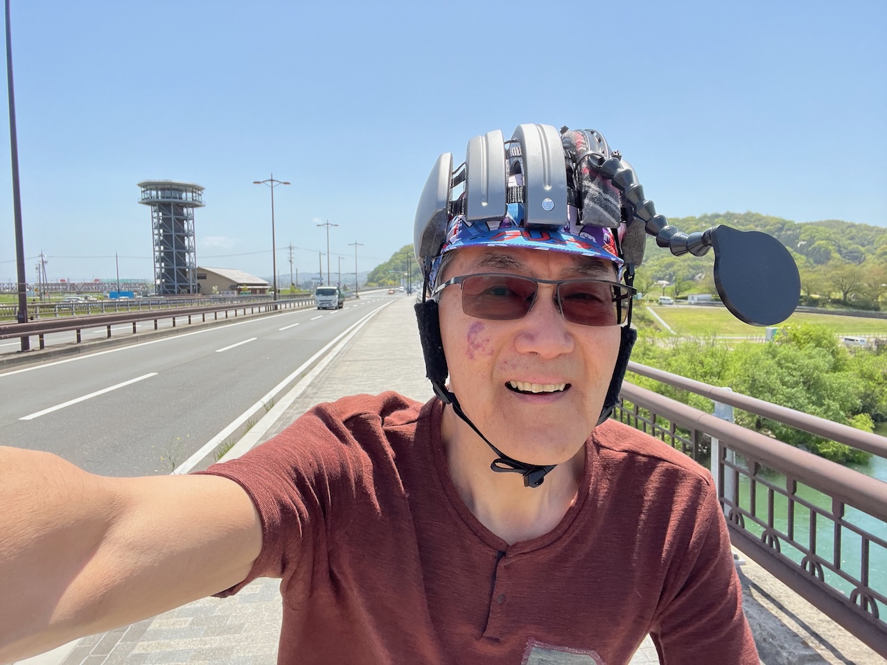
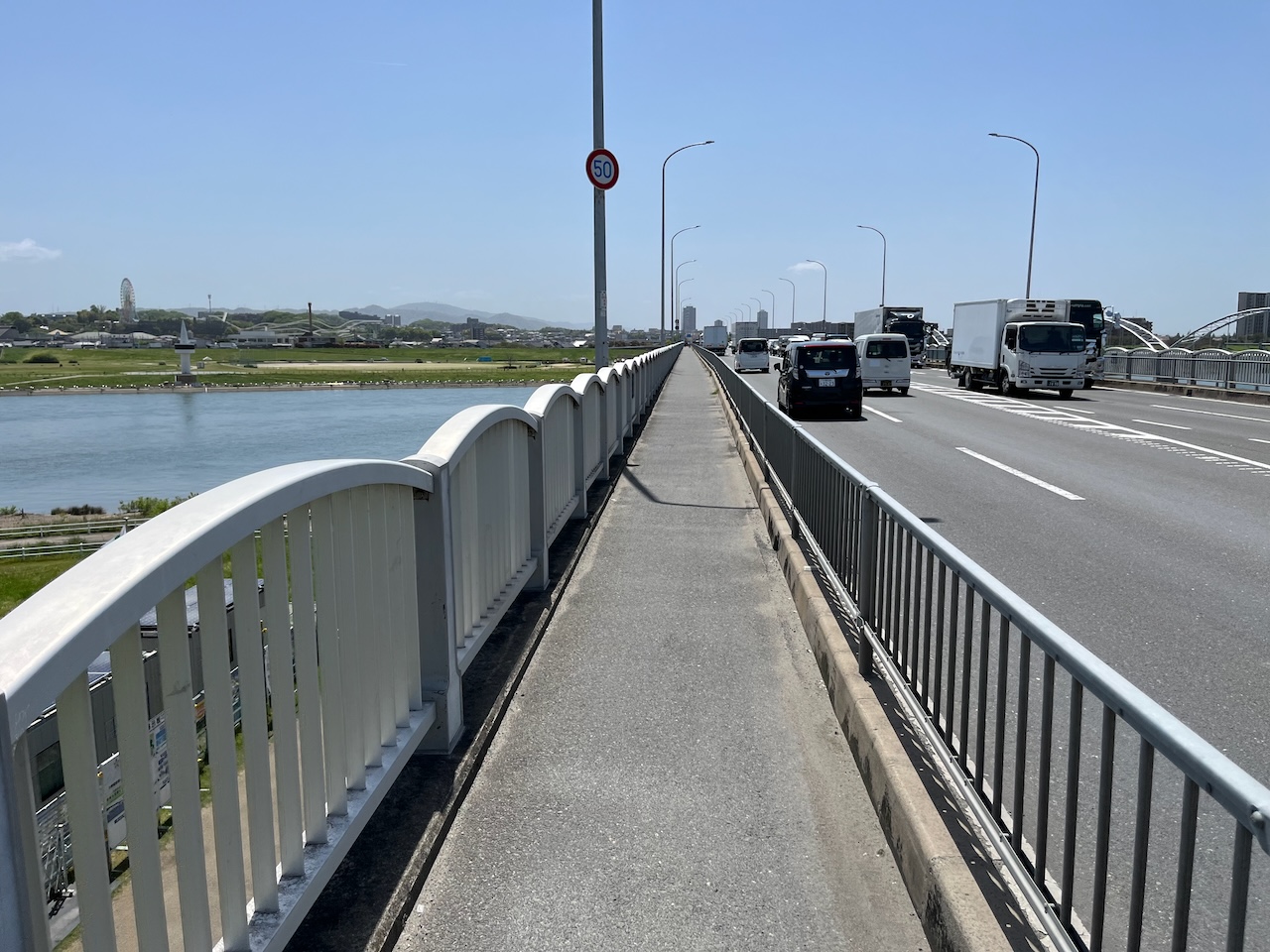
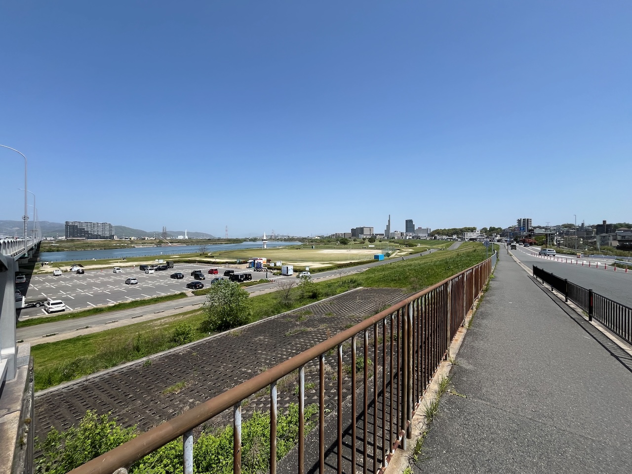
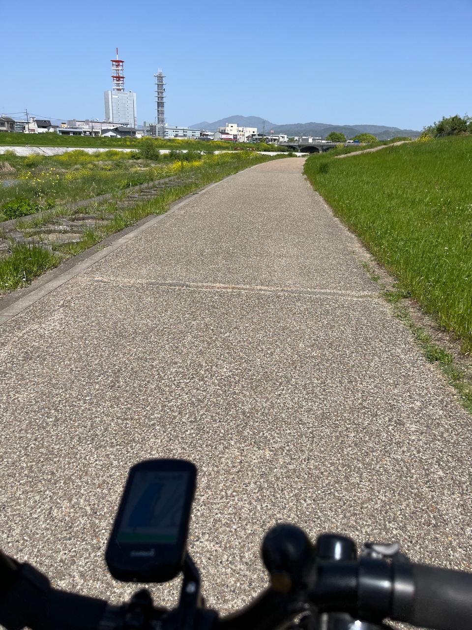
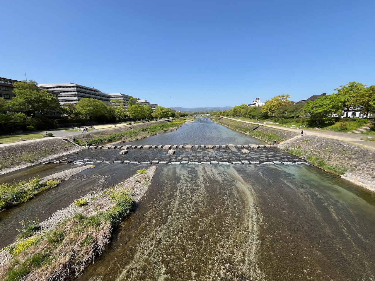
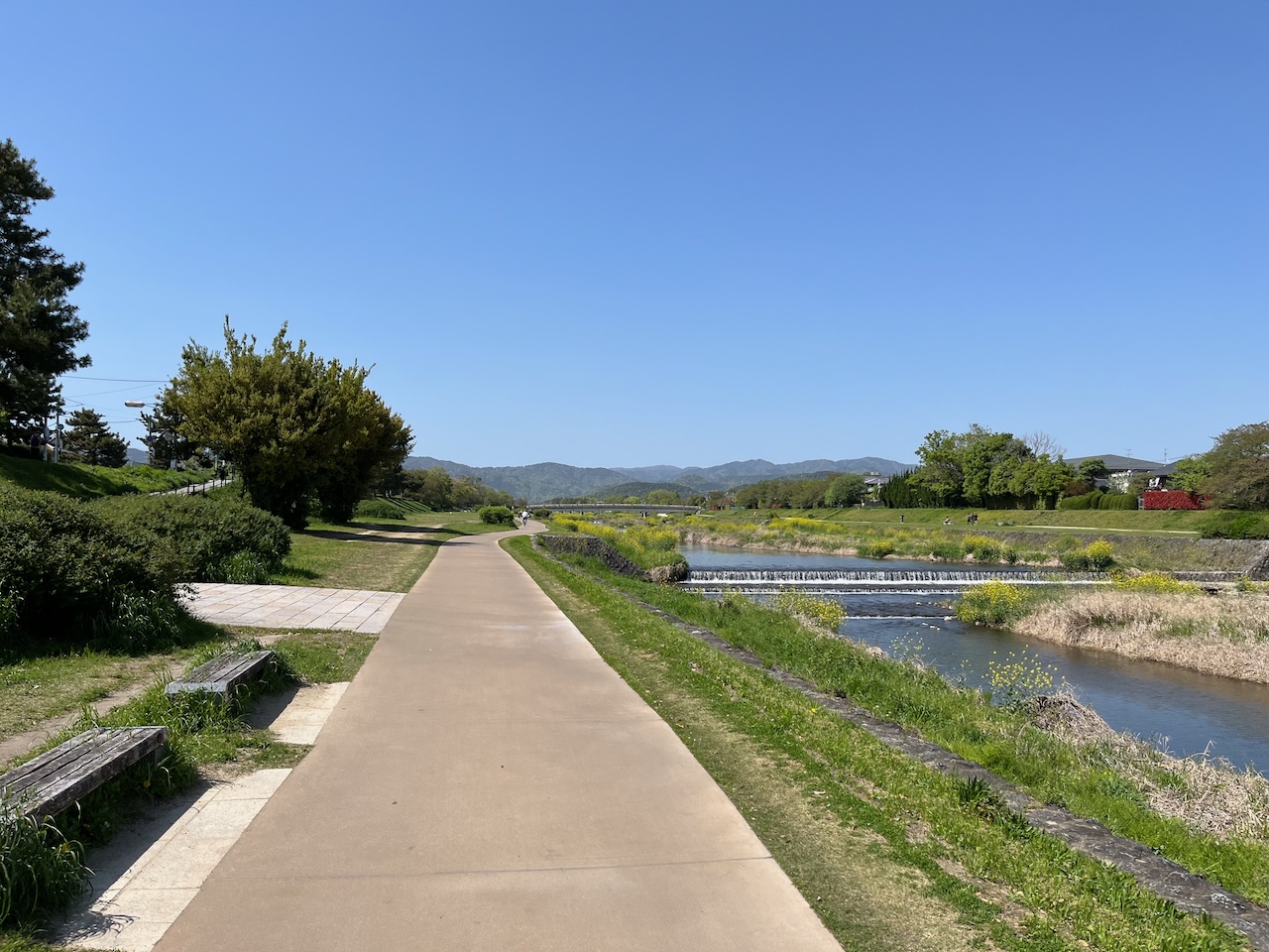
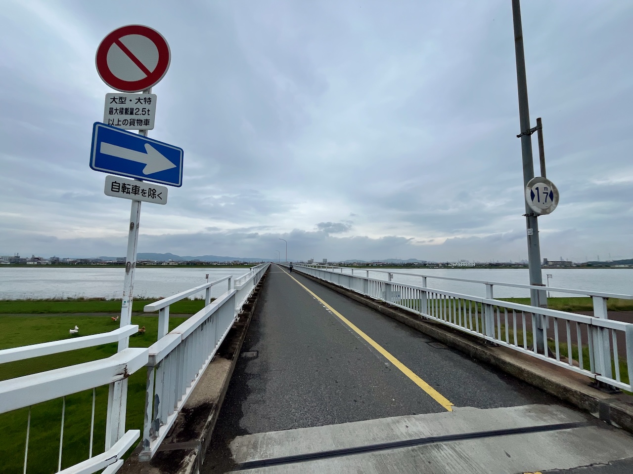
Now finally headed to Fukuyama. Here I’m crossing the Ashida River.

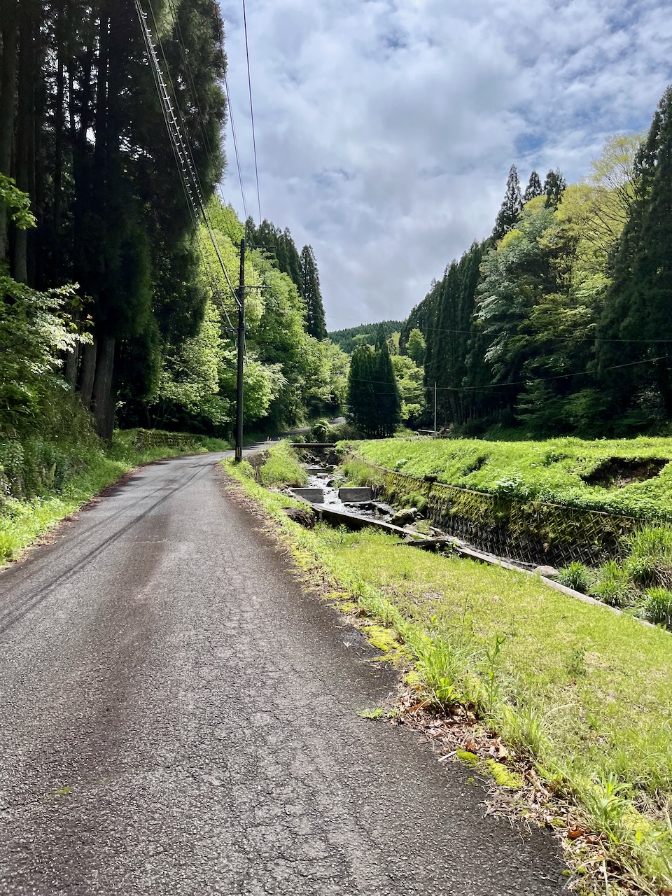
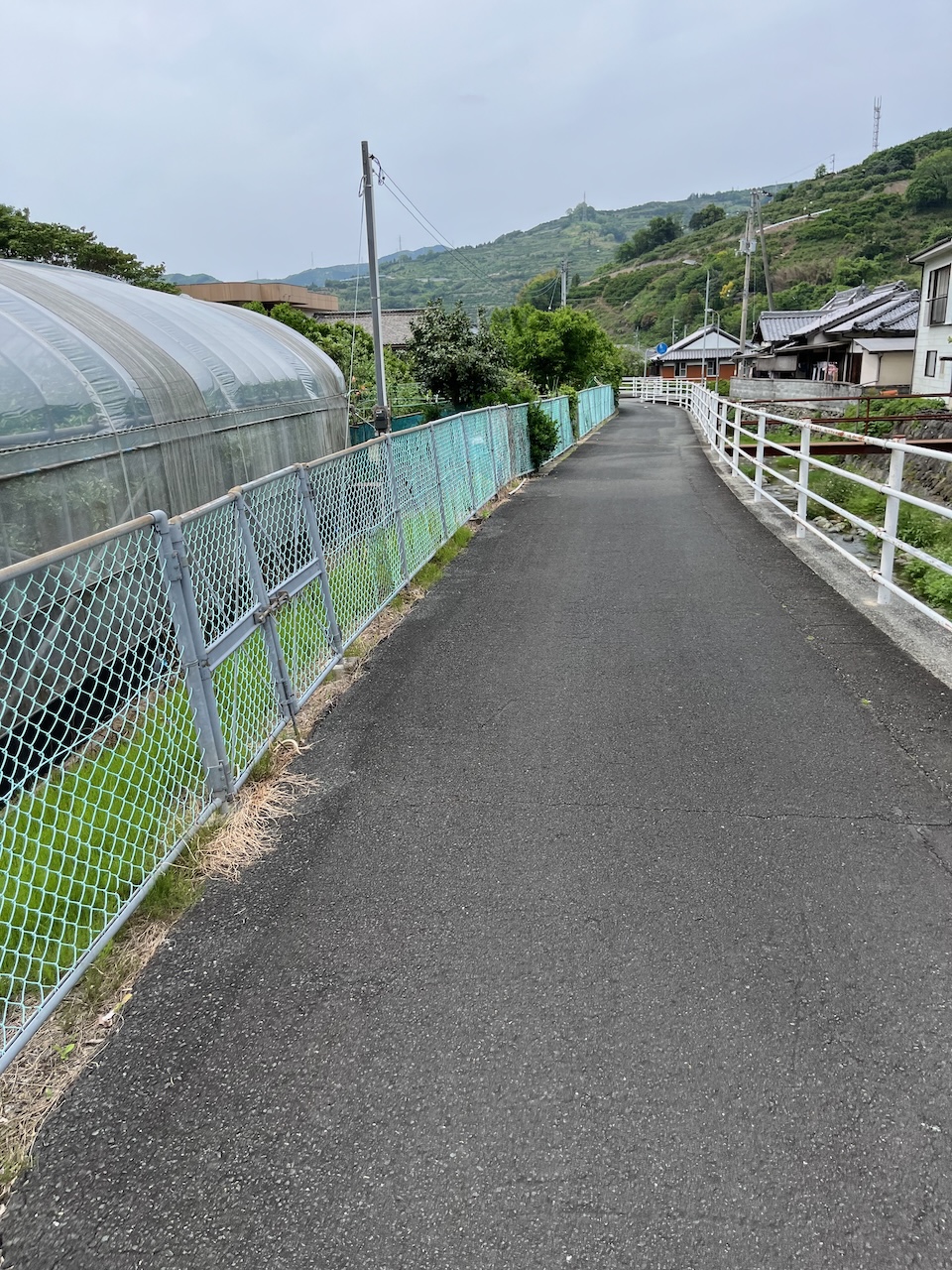
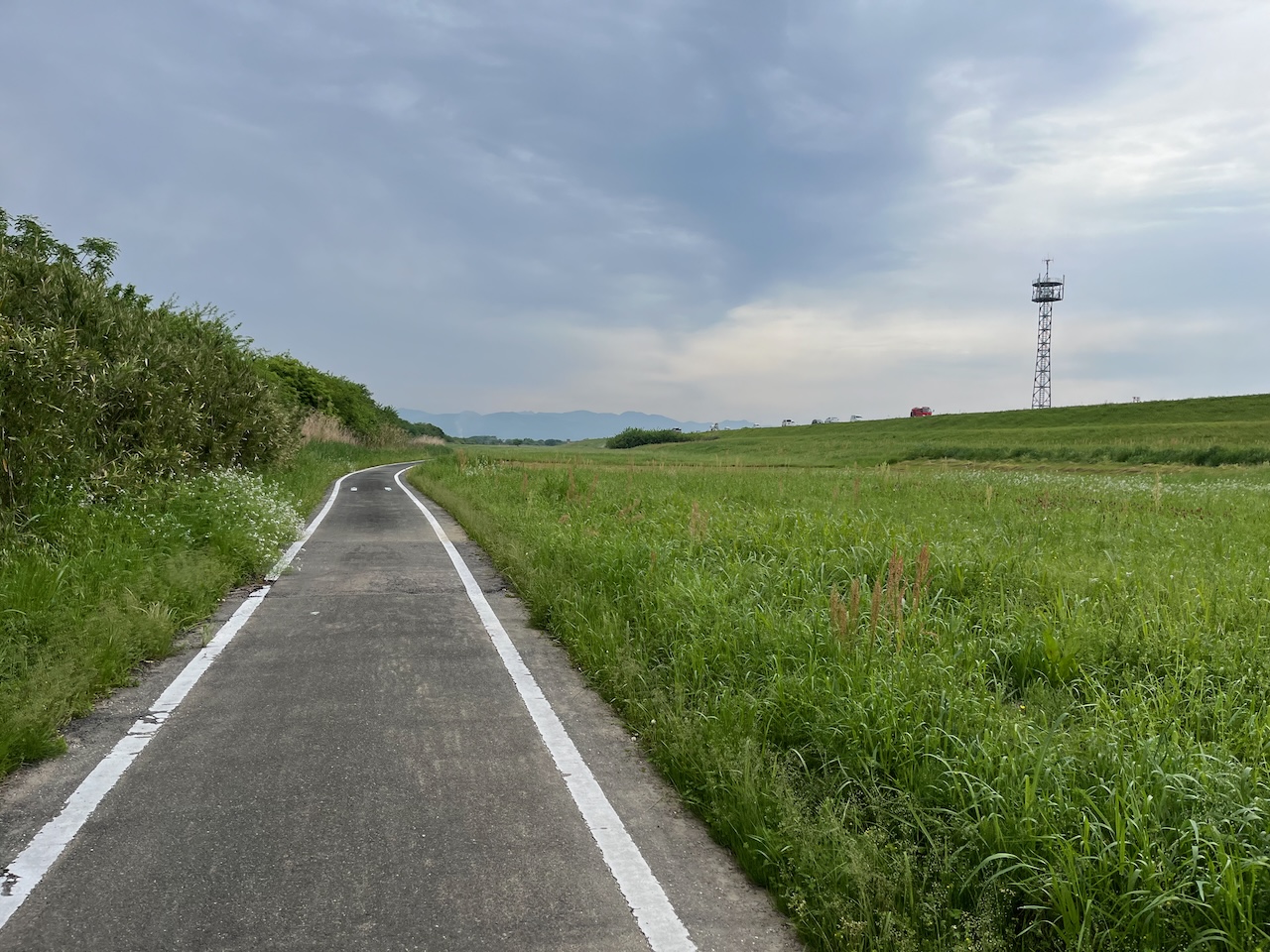
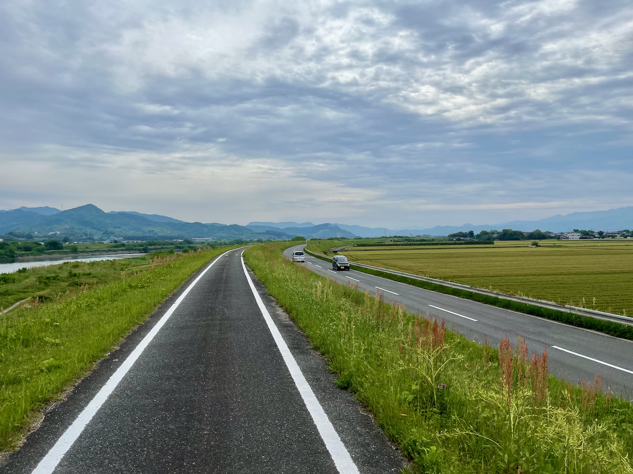
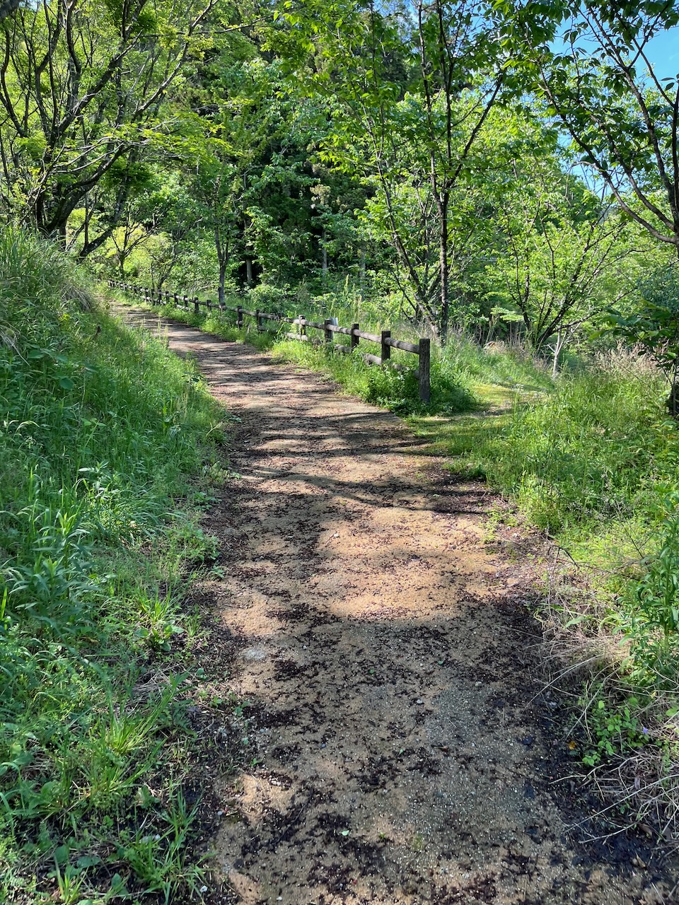
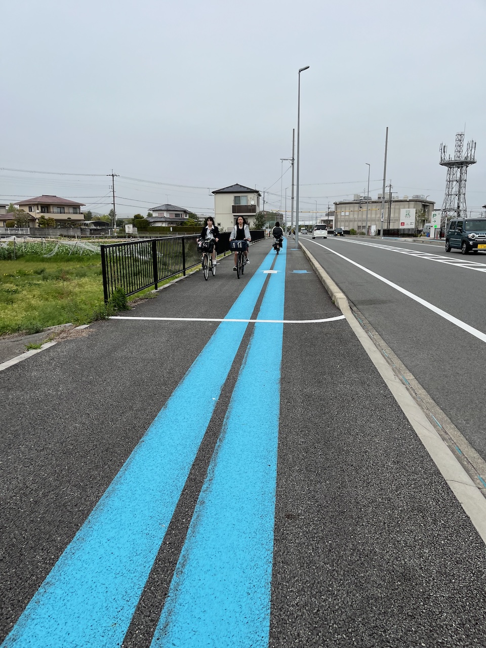
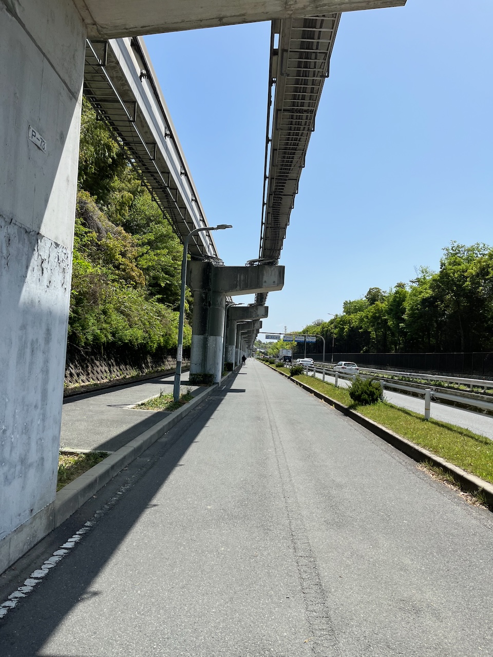
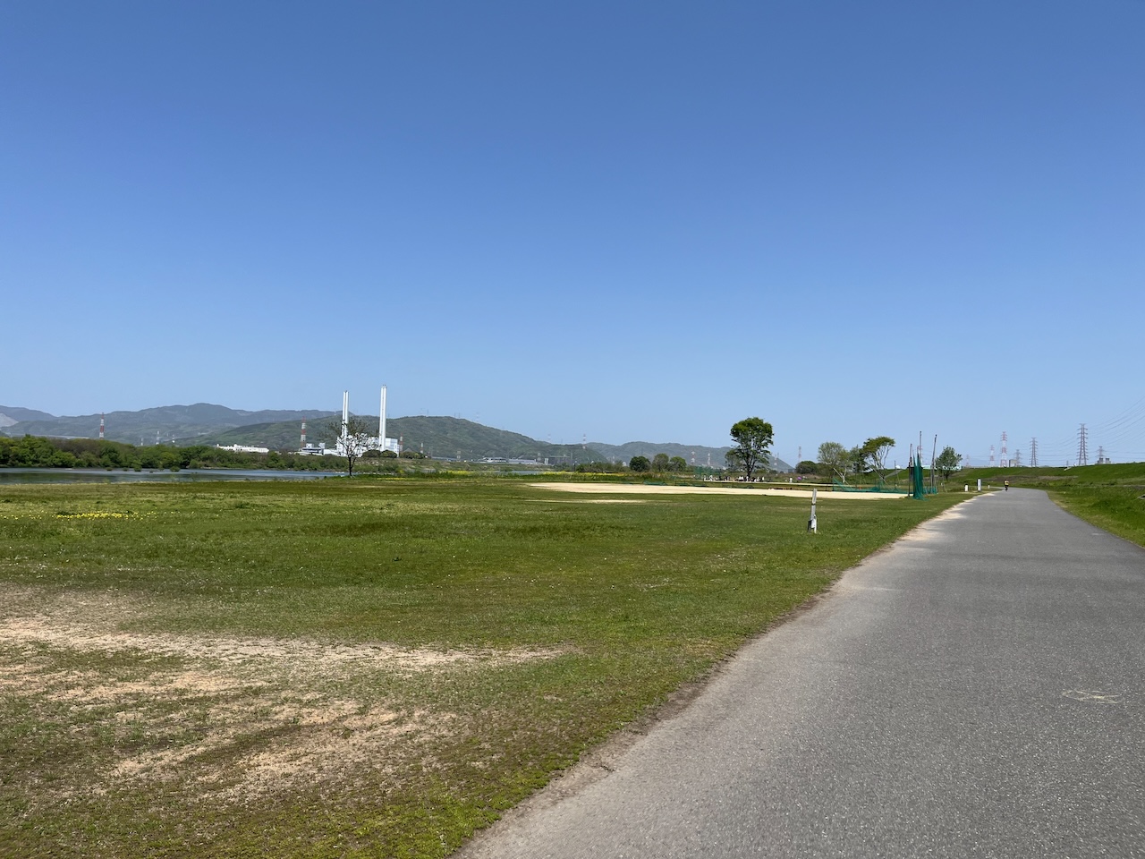
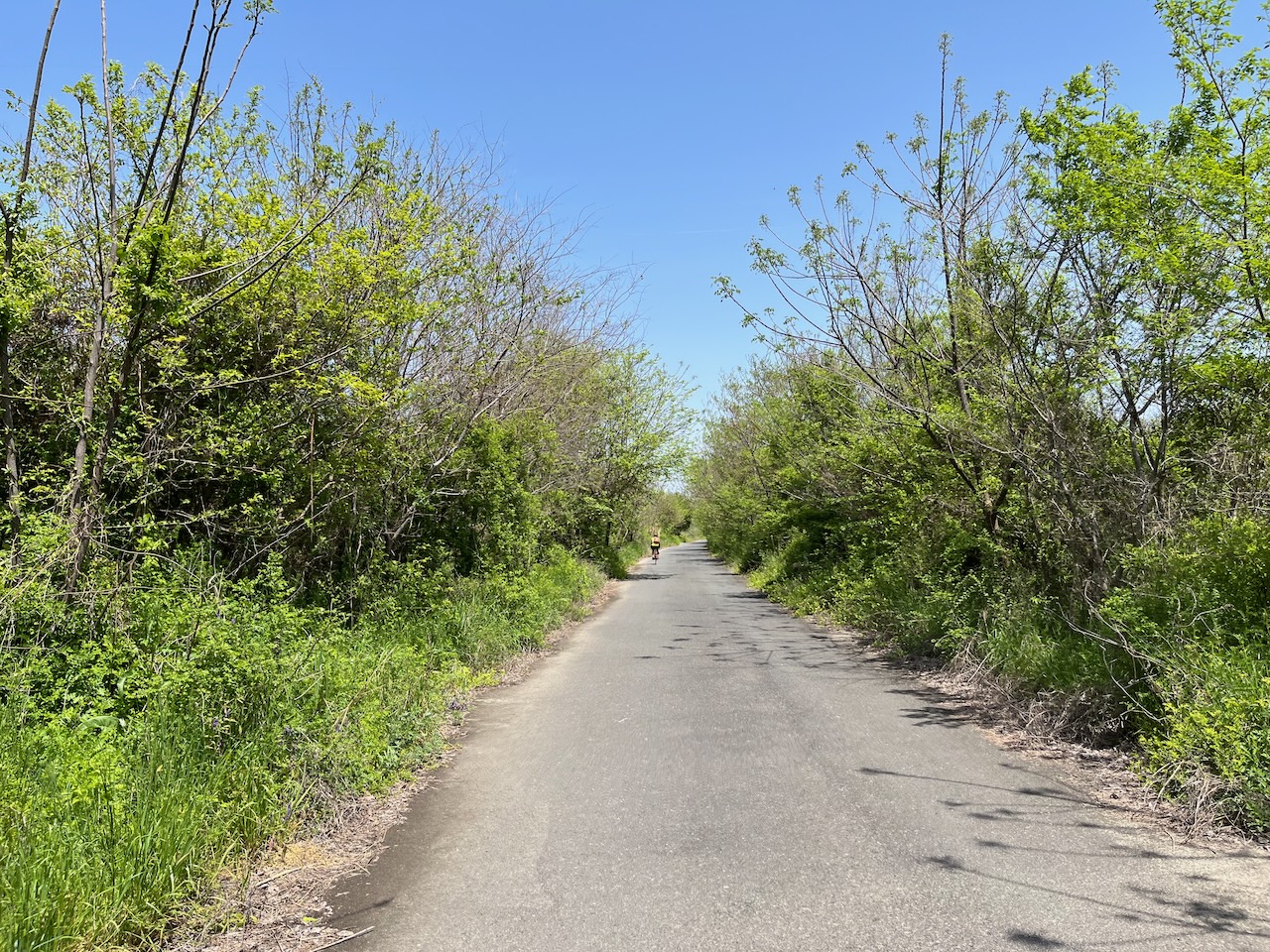
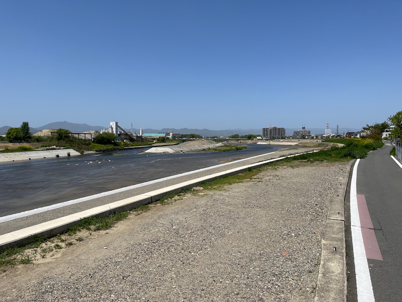
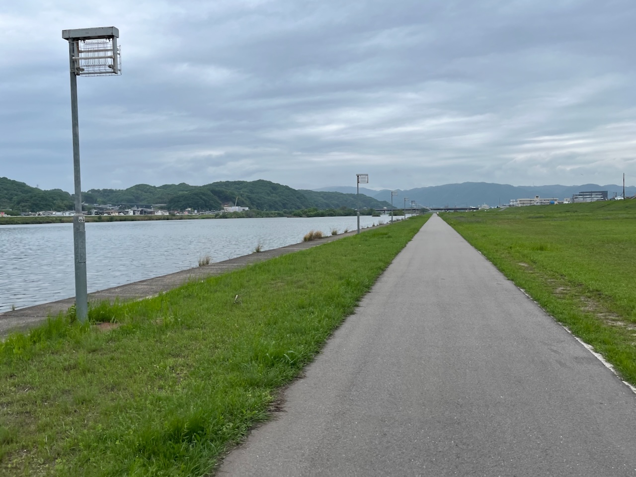
I’ve become a big fan of this type of riverbank trail.

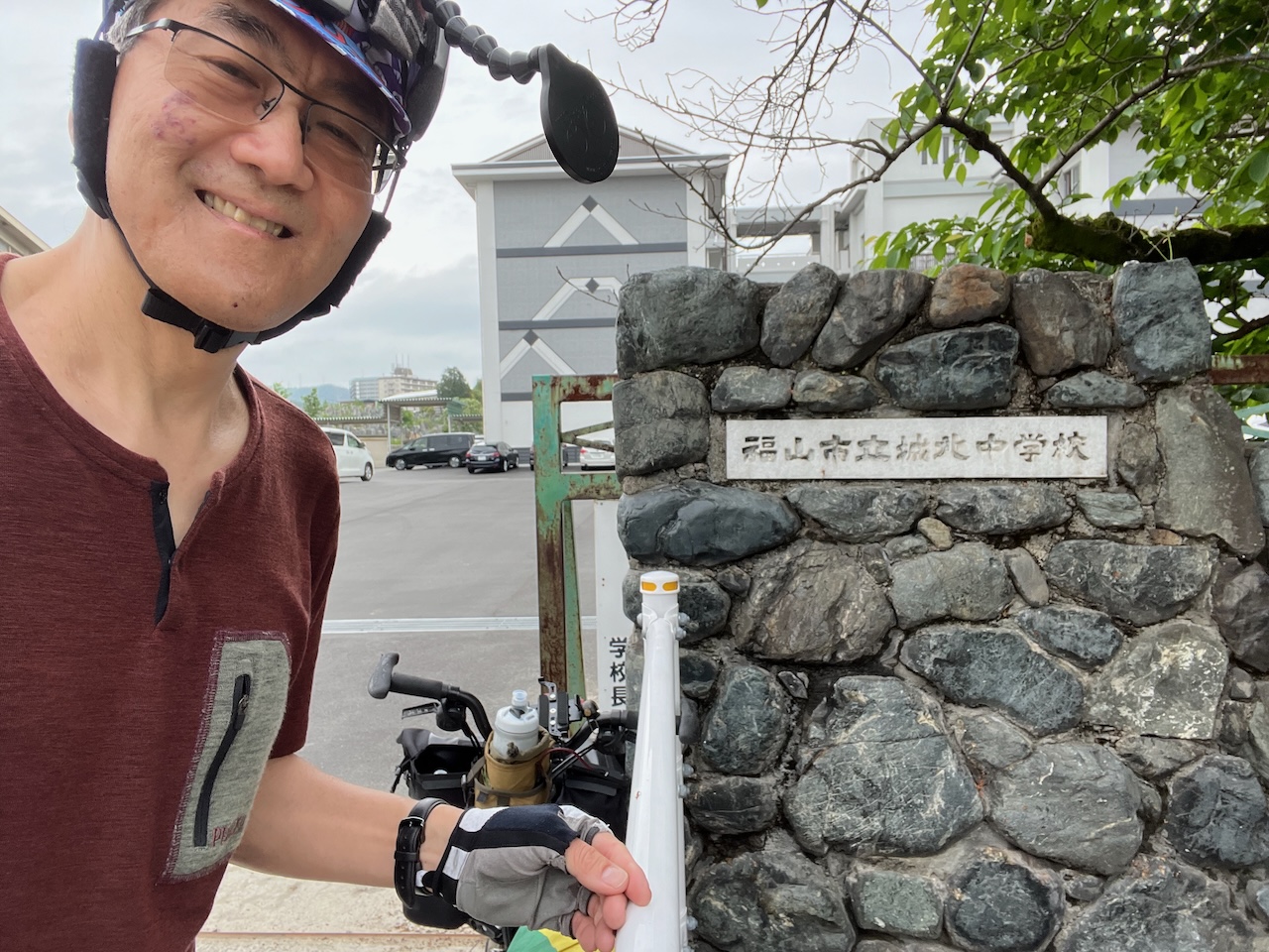
Fukuyama and Hamilton are twin cities, both having major steel plants. Through this connection, I spent a summer teaching english conversation at Johoku Middle School about 40 years ago.

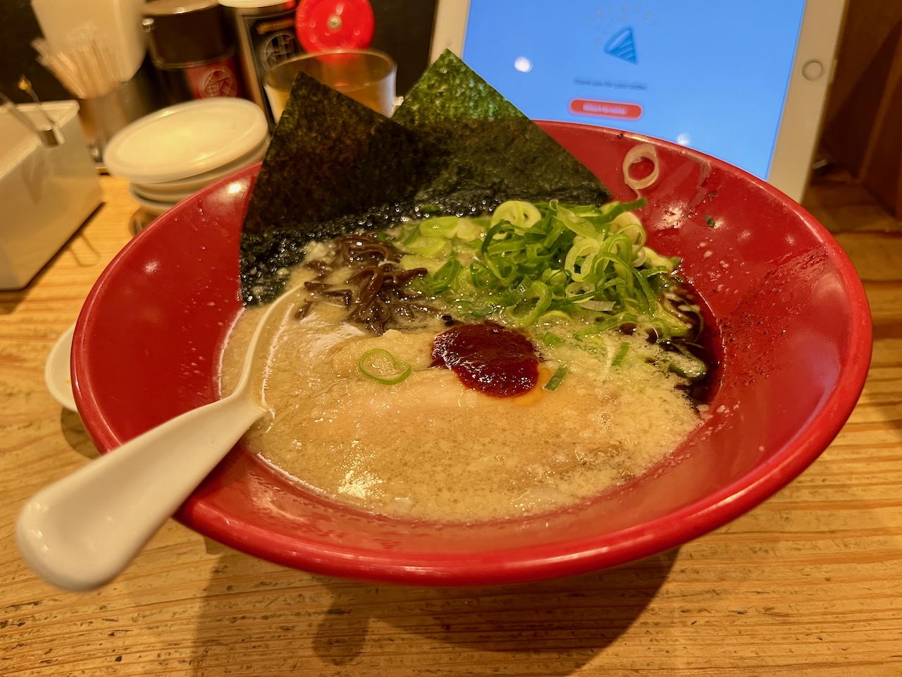
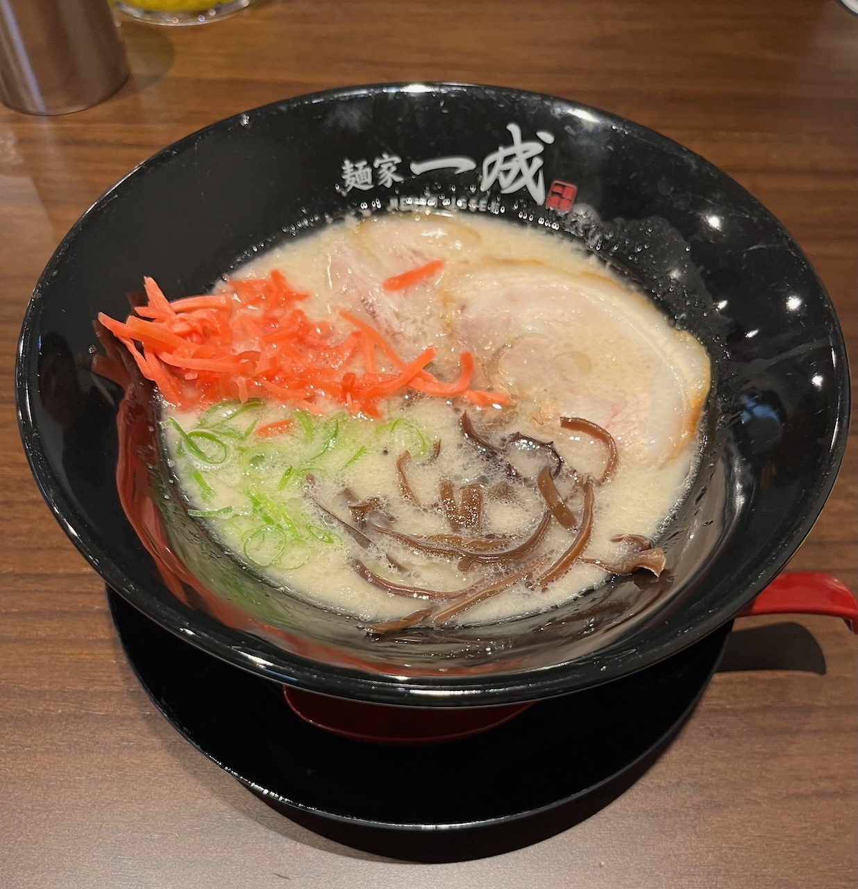
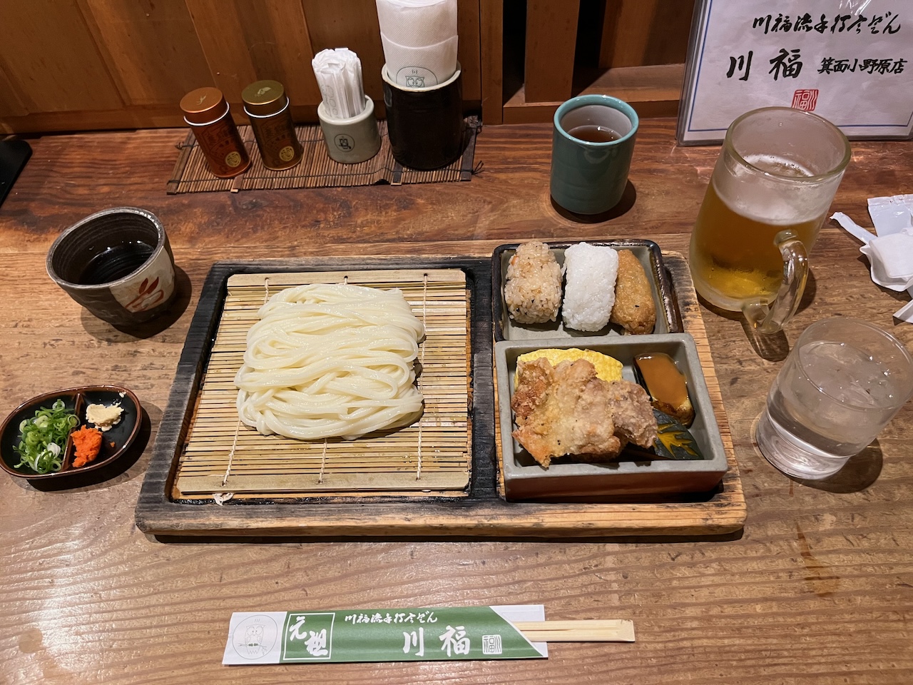
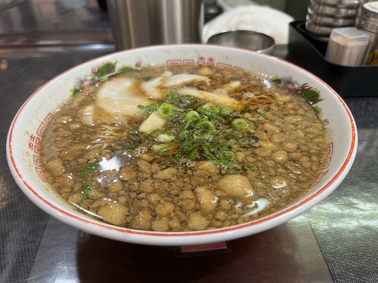
Some Onomichi style ramen. No disrespect meant to the locals, but I prefer the tonkotsu ramen I had in Kyushu.

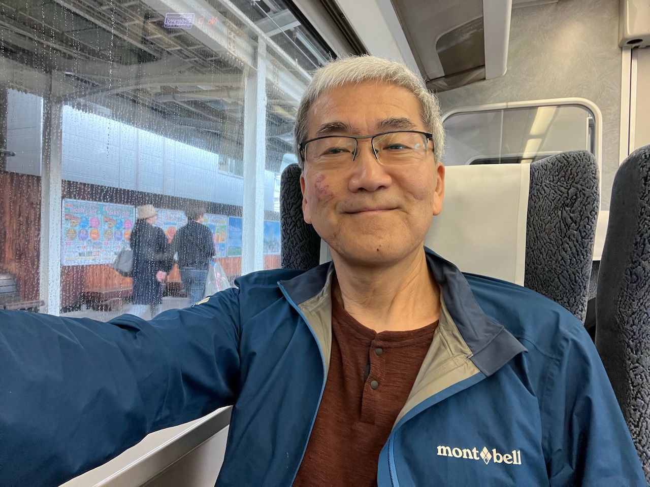
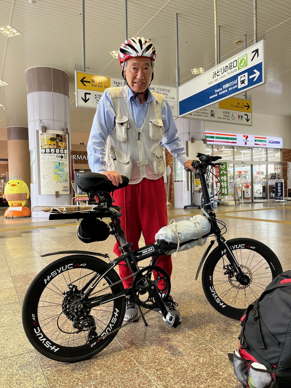
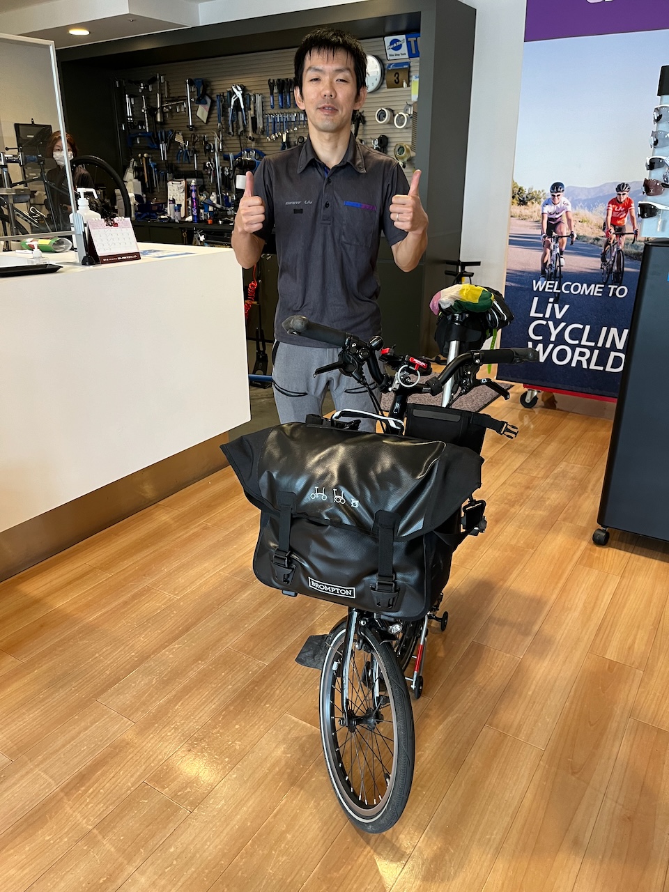
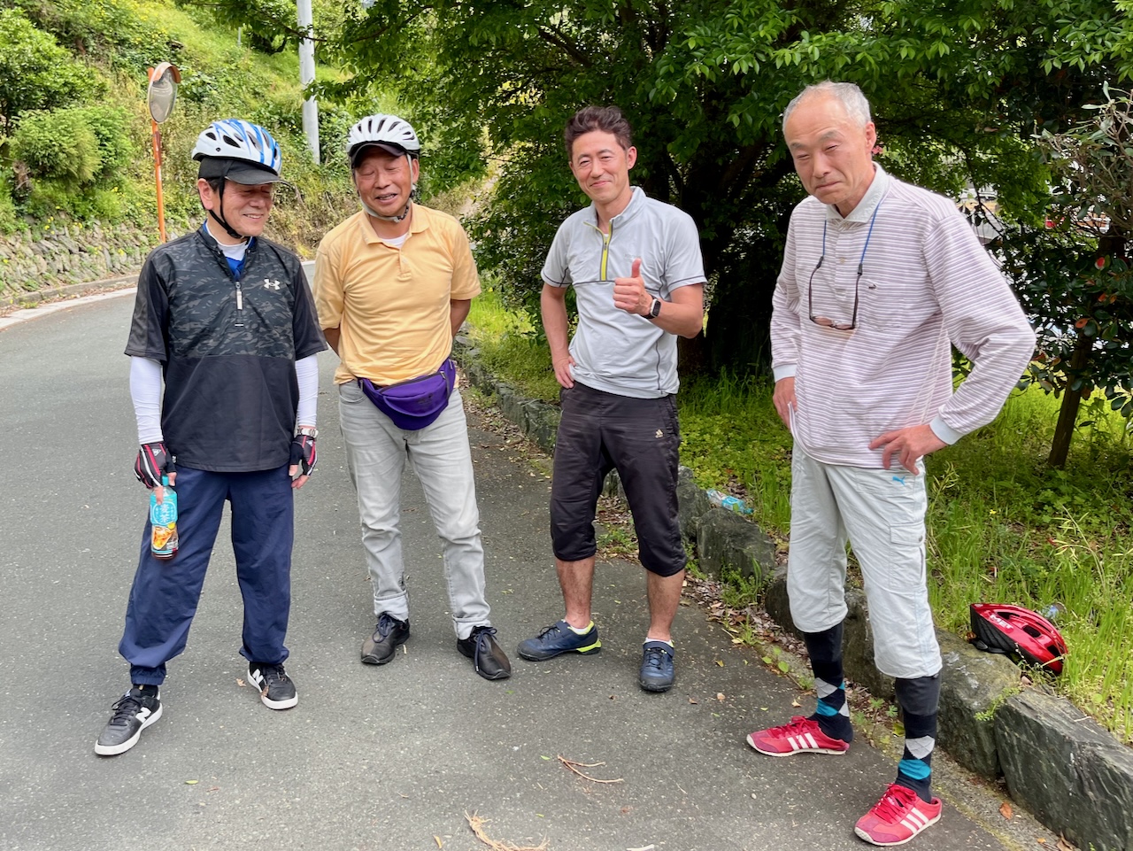
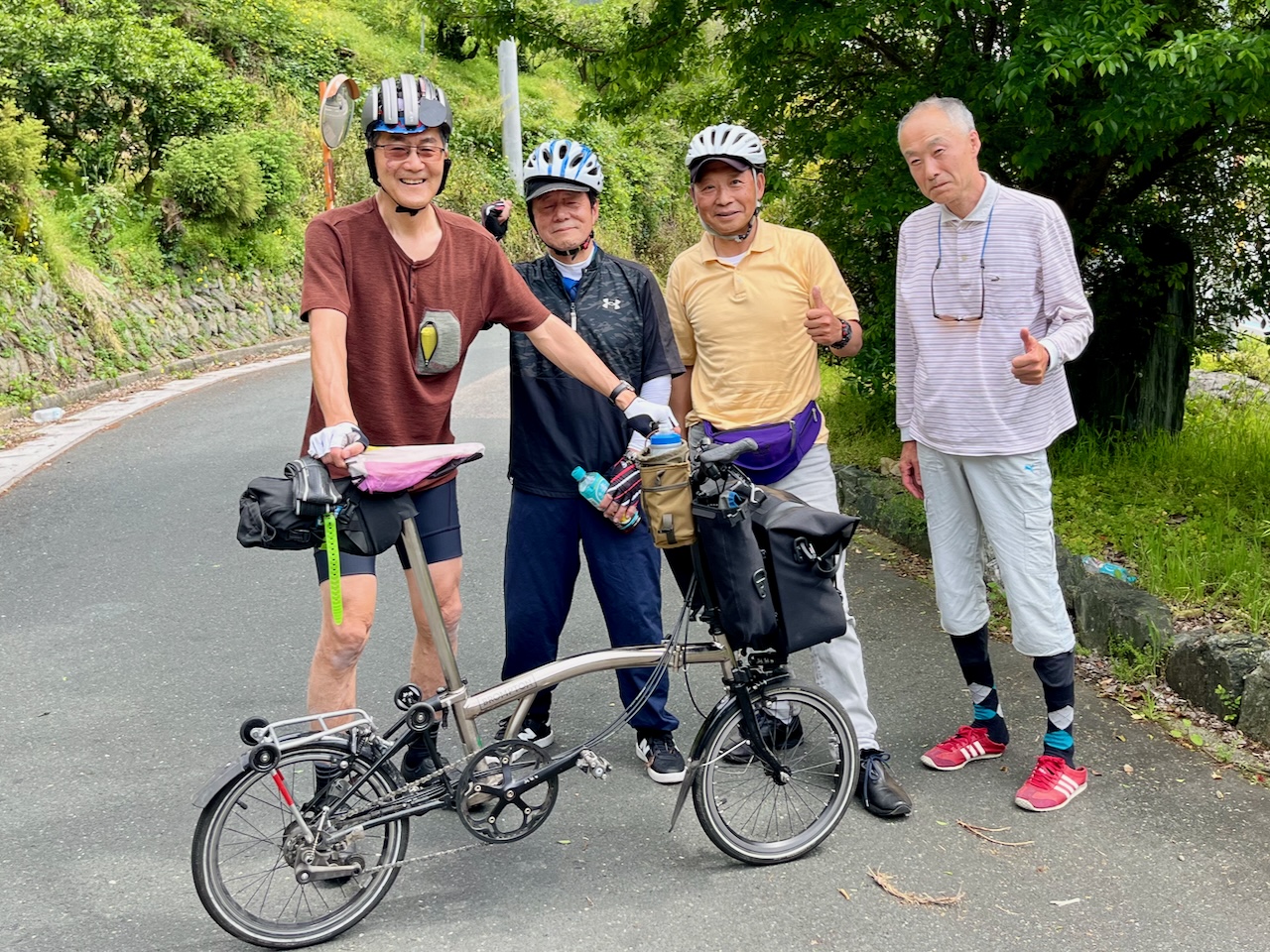
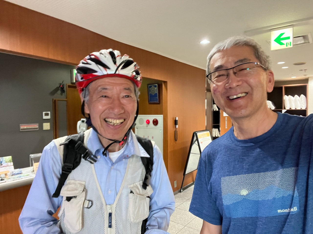
Back at the hotel, I run into the fellow that I met at Imabari station. We arranged to have dinner together where we had a nice chat.

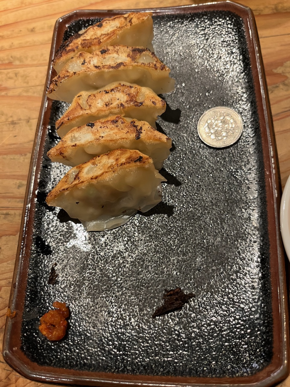
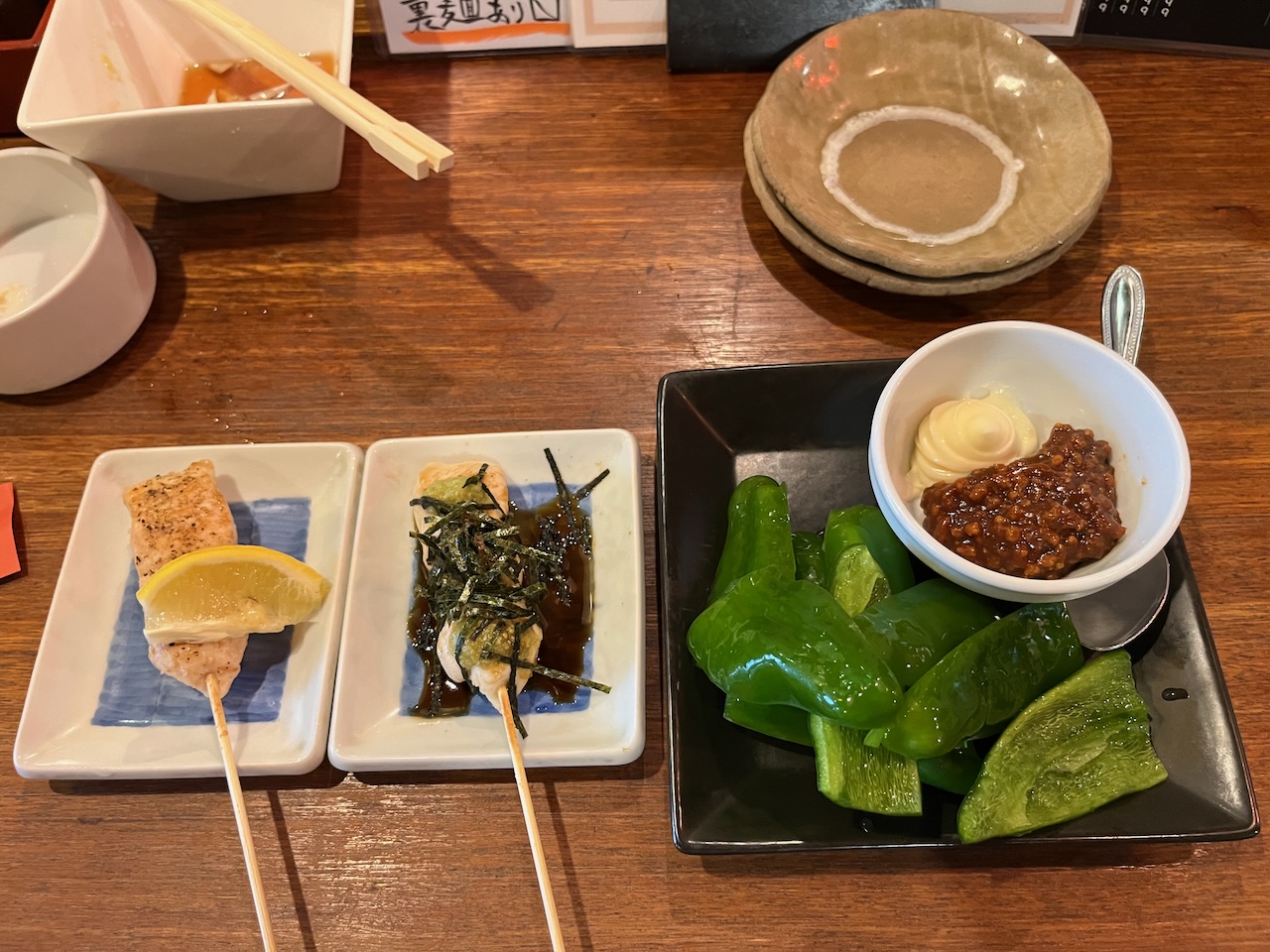
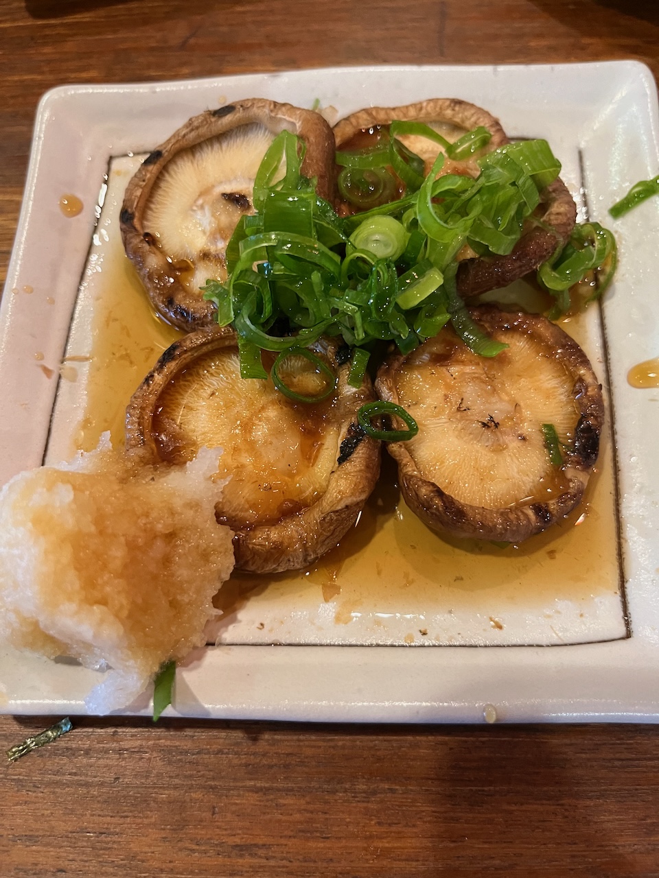
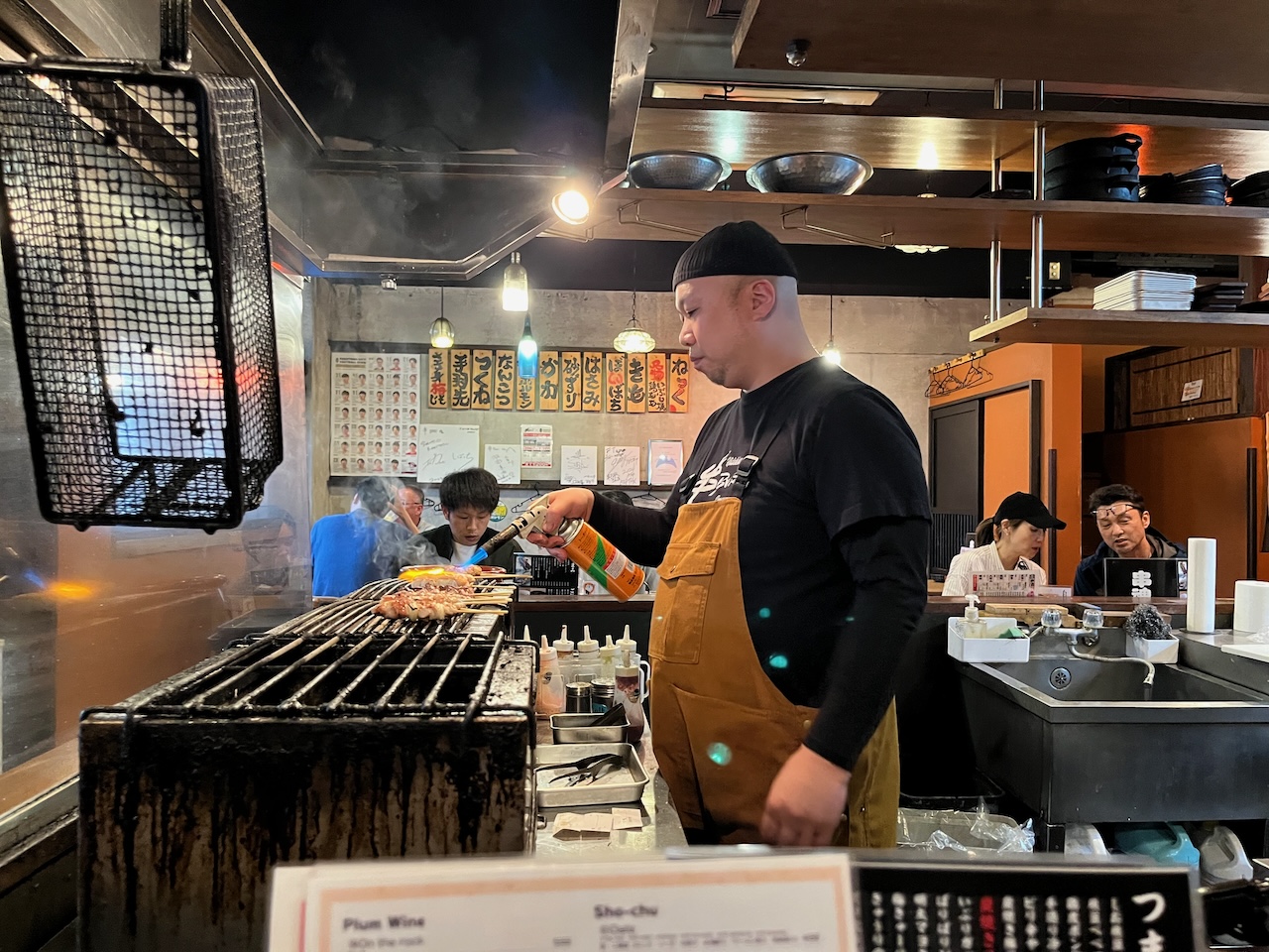
Reall good kushiyaki at Kushi Bar. Their instagram page is here.

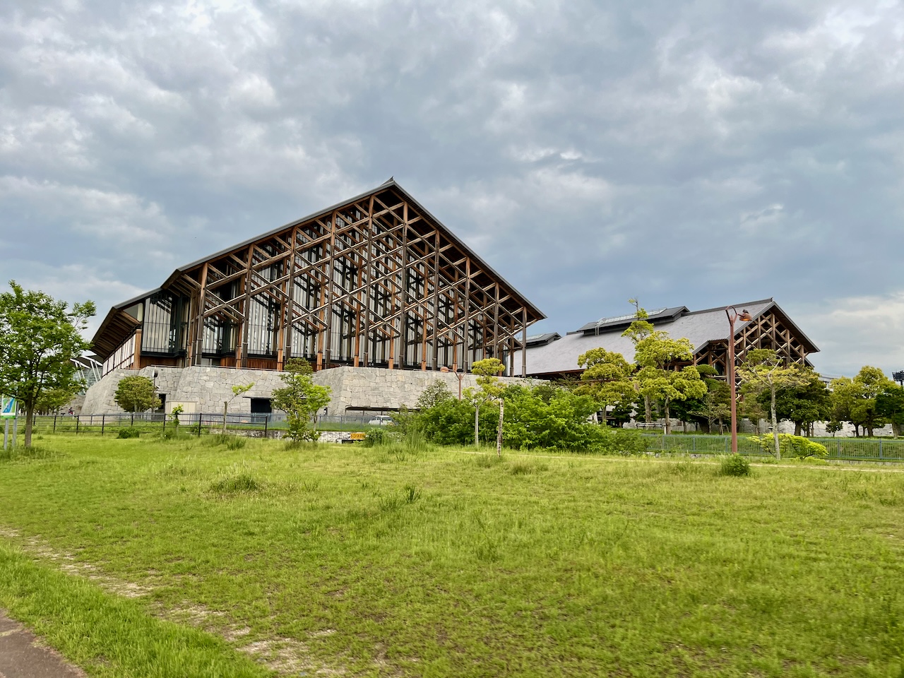
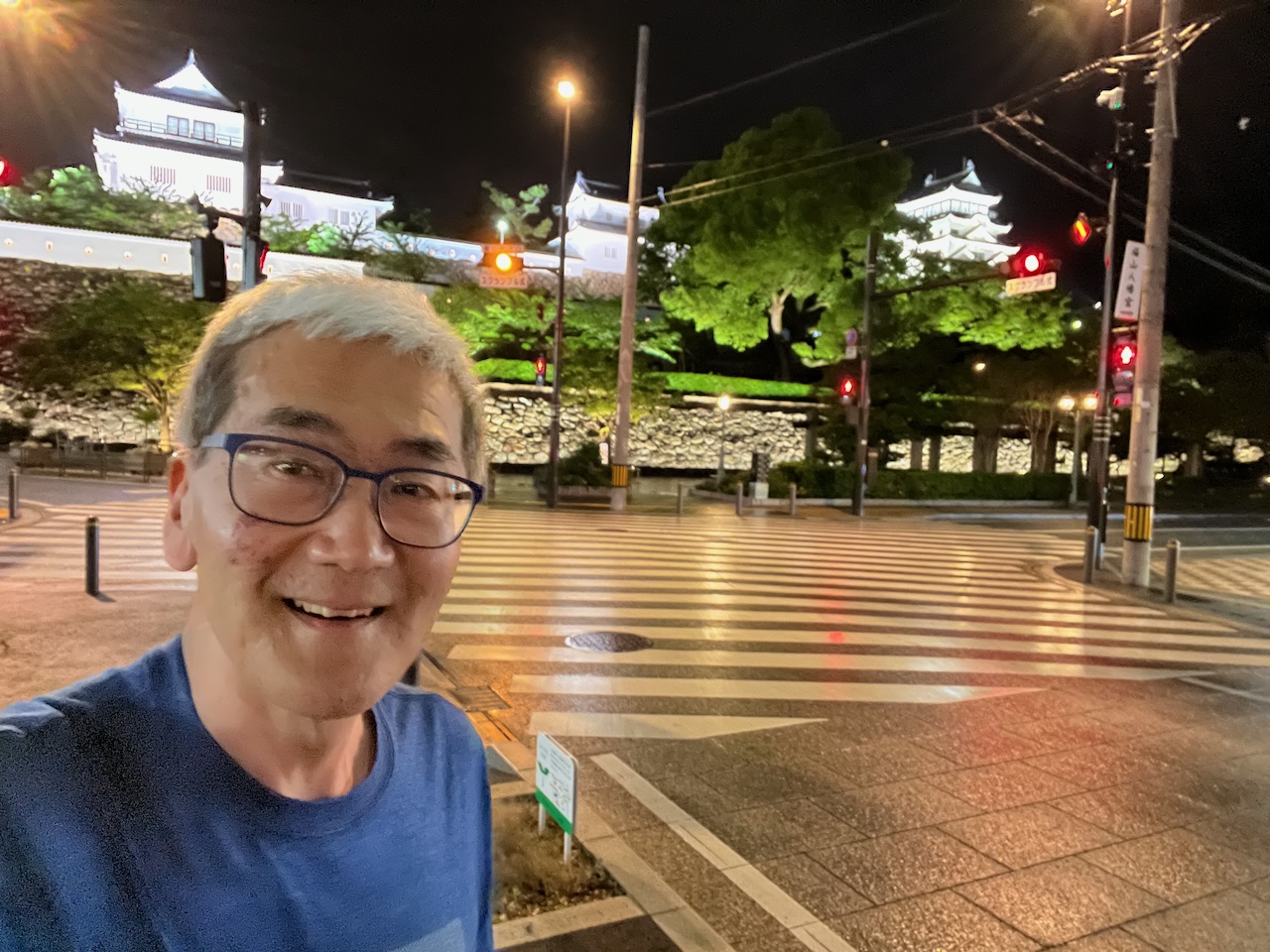
Nominal tourism: here is Fukuyama Castle.

Now to bed, and back to Tokyo tomorrow morning.

It was going to rain all day today so I elected to take it easy on myself and took the train from Matsuyama to Imabari, which cut my riding in the rain roughly in half. Here I am on the train.

Imabari is at one end of the Shimanami Kaido, a series of bridges across several islands in the Seto inland sea that lets you bike from Shikoku to Honshu. The total distance from Imabari to Onomichi is about 70 km. There is one day each year when they close a lane of traffic to motor vehicles so that cyclists can ride straight across. Normally you have to take a series of ramps or switchbacks to get up to the level of the bridges which increases the time required significantly.

Arriving at Imabari station, it is immediately obvious that this is a huge draw for cyclists. I met this fellow unbagging his folding bike, just like me.

He made sure that I got a picture taken as well.

There is a large Giant bicycle shop right in the station that does a lot of rentals of higher end drop bar bikes.

There was a decent selection of accessories available, and I bought a phone mount to replace my broken Garmin. This mechanic spent about half an hour installing it. Labour charge: about $10.

Like many things from Minoura, this thing is overbuilt and unnecessarily complicated.

Right by the station, other rental places, a tourist info shop, and bathrooms.

Now cycling towards the first bridge.

Over a slight rise, my first clear view of the bridge.

A decent amount of height to make up.

Here is the turn off to the first bit of the climb which was a series of switchbacks.

Look at that spiral ramp.

The road actually spiralled part of the way, but here is the turnoff for the cyclist only section.

Nice bridge of the bridge with one more loop to go.

Here we go. We are high off of the water. It is raining in earnest now, but fortunately there is not much wind.

A bus stop down to a small island part way across.

Using all the rain gear today. I saw a lot of people without any rain gear, and most of the rental bikes didn’t have fenders either.

Approaching the down ramp to Oshima. Technically the first crossing is split into three separate spans, but from the biking point of view, the only thing that matters is having to go up and down from the highway.

Looking back at the bridge on the way down.

Looking at the second bridge, the Hakata-Oshima bridge.

At this point I was checking to see if my powerbank could charge the phone. I did not anticipate this failure mode. I ended up putting the phone into low power mode, and also airplane mode to conserve power.

Ramp up to the bridge.

Motorcycles up to 125cc were also allowed on the cycling path. There was some kind of toll system for them.

Now climbing up to the Omishima bridge, which was the last one for my riding day.

This bridge is pretty short.

All along the route I saw families biking with young kids in the rain. Very impressive.

This rest stop was near one end of the Tatara bridge, which looked to be another long one.

I’m staying in a ryokan that doesn’t look anything like the pictures on the web. I’m in an annex out the back, and perhaps that is the issue.

The bathroom is shared between three such rooms, and the only place to wash up is at this sink.

Oh well, at least I already had one spectacular stay this trip.

Yesterday was the ride to Beppu, the second day of my tour. There would be two major climbs with the village of Yufuin in between, and then a long descent to Beppu.

Just over the next ridge was a valley with my namesake river: the Nogami river. As a result, a number of things had the same name. Here is the Nogami elementary school.

Some information about flood stages on the river.

Now climbing.

I’ve reached the first peak, and I knew there was nothing here because I had previewed it on ridewithGPS.

The reason that I picked this particular section of the route was that I had seen this on Google Maps at this exact spot.

Now descending, and you can see a low cloud deck.

A grove of green bamboo, just like Arashiyama, but with not another soul in sight.

Another climb, and another prime example of Komoot’s ridiculous routing. It tells me to go straight.

Do you see a way straight forward?

At the top of the first major climb.

Now descending down a long, winding road into Yufuin. This would have been a great way to climb since the grade was quite steady.

Reached the valley bottom. Still very foggy.

Yufuin had a main street crammed with tourists, which was quite the change from the earlier parts of the ride.

I loved the fact that this five way intersection had no signage or traffic lights. Cars and people just had to wait their turn.

Now climbing out of the valley: yet another Komoot fail. This sign says no vehicles when cattle are grazing.

Cresting the pass at the high point of my entire tour.

Descending towards Beppu along Route 500.

There is a series of switchbacks below this hotel which is the safest way down.

I overnighted in Beppu. Wasn’t terribly impressed. The waterfront had a bit of a Las Vegas vibe to it, which I didn’t regard as a plus.


All ready for the ferry to Yawatahama on the island of Shikoku.

I’ve gotten smarter about rinko: I realized that I could use the padding from the O bag for the shoulder strap.

The ferry terminal had slot machines.

On the ferry. I thought I could use the three hour crossing to catch up on blogging, but the wifi was seriously slow.

On the other side, I made the unhappy discovery that my Garmin died. I had to use phone navigation. Luckily I had brought a powerbank so that RidewithGPS wouldn’t drain my phone before the ride was complete. Here I am riding away from the ferry terminal (much nicer than the one in Beppu).

First climb of the way was really steep. Had to walk up.

More routing madness. Stairs, seriously?

However, at the top there was a seriously cool tunnel for pedestrians and cyclists paralleling the main road, route 378. Most of today would be spent on that road.

The climb continued on the other side of this tunnel with this nice protected multiuse path that eventually turned into a narrow road that could accommodate cars as well.

Just after this side road met up with Route 378, I saw some touring bikes parked on the other side so I had to stop and chat. These fine gentlemen were working their way around the island in the other direction.

They had never seen a Brompton before.

This was their gear.

Just past this point was the Goze Tunnel. Komoot was suggesting a bypass that looked like a lot more climbing, and I saw a roadie ride in, so I followed him. By the time I finished the more than 2 km, I was sick of breathing motor vehicle exhaust.

The next tunnel was only 615m but I had to use Google to figure out if that sign was saying “no bicycles”.

The sidewalk was just a bit wider than my handbars so I elected to walk. This was the most unpleasant part of today’s ride, made much worse by several packs of very loud motorbikes whizzing by.

On the other side, my first nice view of the coast.

For much of the rest of the day along 378, there was the choice of riding on the road, or on a MUP that was always on the uphill side of the highway. The MUP was not continuous, and going my direction, there was a bit of a hazard associated with crossing the highway.

This sign is in several languages.

Then about 30 km short of Matsuyama: disaster. I was on the MUP side, and there were some curbs, and I got a pinch flat. Of course it was on the rear, and this was a serious problem since my gear cable adjustment was really tight, and I only had a leatherman. I needed a second set of pliers.

Fortunately, an older gentleman wandered by and asked if I need help. I asked if he had a pair of pliers that I could borrow. I didn’t know the Japanese for pliers, and so there was a fair amount of charades going on. Long story short, he suggested that I wheel my bike down a few doors to his place, and he reappeared with a pair of needlenose with which I was able to fix my flat. Such a godsend!

On the road again, caught up with one of the loud bike gangs that terrorized me in the tunnel.

Shikoku does a lot to promote cycling around the island.

In Matsuyama, these are the most impressive mass timber buildings I have ever seen, right by the Ishite River. It is the Ehime Prefecture Budokan.

One of several pedestrian shopping streets right by my hotel. Lots of people out late on a Sunday night.

Some overpriced Ippudo ramen for dinner.

Also, the worlds smallest gyoza, 100 yen piece for scale (about the size of a quarter).

Weather forecast looks evil tomorrow. I’m considering taking the train to Imabari so that I can halve the distance that I will be riding in the rain.

At any rate, my encounters with the bike tour guys, and the gentleman that lent me pliers reminds me that bike touring is more about the journey than the destination.

Day 1: Tosu to Kokonoe

Today was the first of a five day credit card tour. I knew that today’s ride would be the most difficult as it had both the longest distance, and the most climbing. As it was, I’m not ashamed to say that I had to walk the bike up a few hills.

Here is the bike all loaded up, with most of my gear in the O bag, and a pair of sneakers and some tools in the saddle bag.

I’ll probably have more to say about routing software at the end of my trip, but the route was laid out by Komoot, and the software seems to go out of its way to avoid busy streets, and often routes me along small paths that criss cross farmers’ fields.

After zigzagging southwest for a while, I reach the Chiguko River, where the route can take advantage of the cycle track by the river bed.

I travelled along the river until about km 33.

Some wayfinding signs.

Now on top of the dyke that borders the river. You can start seeing the hills that I’m going to have to cross.

Just past Ukiha, the route turns away from the river and along this tributary.

I’m liking the gull wing covers on this transport.

Just past the truck, this pile of freshly cut cedar blocks was very fragrant.

The route had me crossing the river at this dam. The first of several unplanned deviations.

Starting to climb, so it was an opportune time to lose the jacket and to refuel at the vending machine.

This is the bridge I used to cross the river, a few km past the closed dam.

I thought I was being clever by choosing a route by a major highway, but has you can see that was no guarantee of a gradual climb. I was often well below or even above the highway.

Taking a break. The the climb in the picture was a 16% grade, and I had to walk up part of it. My Brompton could have used lower gearing.

Nice forest road with that middle of nowhere feeling.

Yes, I’ve done some climbing.

Getting close to the highest point for the day.

The actual highest point, at about 490 meters (I started at about 20 m).

Now descending into Kusu.

Surprised to see a bike lane pretty far from town.

But it ends after a kilometer or two, well short of town.

Not sure of the significance of this display of koinobori, but the sign says ‘let’s win against COVID”.

The prettiest bridge for the day.

Kusu is a really small town with few places that you can book over the internet. Given the limited choices, I decided to treat myself to a ryokan with a hot spring: Fukumotoya. It entailed an extra climb out of town.

The hosts were kind enough to let me stash the brompton in the foyer.

I got the “kaede” room, which means maple. Perfect for a Canadian.

Ready for a hot bath after a long day on the bike.

Food was also excellent, with many local ingredients. My Japanese is fragmentary, so I really didn’t know what I was eating for some of the dishes.

Tomorrow, a shorter day with more climbing, and then a long descent into Beppu.

postscript: Breakfast

For most of this week, I’ve been visiting the Kyushu Synchrotron Light Research Center in Saga, about an hour train ride south of Fukuoka.

This sight takes me back to my grad school days in the 1980’s where I did experiments at a similar facilitiy.

Of course there have been significant advances in both the light sources and the instrumentation available since that time. The sorts of experimental energy resolution available here are orders of magnitude better than what we could do back then.

The electron energy analyzer is pretty amazing as well, providing a 2D angular map of electron intensity.

I was amused that one of the references that they still use was the result of calculations done by a fellow grad student back in my day.

The guest house is very nice. Here is the shared kitchenette area.

For the first time this trip, I’ve been able to approximate my regular breakfast that I have back home.

I was also amused that of the reading material available in english, I have both books (the third one to the left is actually a Japanese manga).

Of course, Kyushu and the Fukuoka area is famous for its style of ramen. Tonkotsu ramen has a rich broth made from pork bones.

Today I did a bit of a warmup ride to make sure that everything on the Brompton was working. About 200 m of climbing, which is about half of what I’ll be doing on Friday.

Heading into the hills behind the lab, the feel is immediately quite rural.

Here I am at a dam about 3 km in.

A little further on is a park with this public washroom.

This is a cable stay bridge that crosses the reservoir.

A nice sunny day.

The trail is more of a walking path on the other side.

At the road, another rest stop with vending machine.

Now descending on a less busy road that zig zags its way back down.

Nice to get out for a ride. My tour starts on Friday and goes until the end of the month. The forecast doesn’t look great, though.

I’ll be living out of this Ortlieb O bag for five days. It’s a bit unfortunate that rain gear will take up so much space, but it looks like I’ll need it.

This is what the first two days of the route look like, from the lab to Beppu.

After that, the route will be easier, with a ferry to Yawatahama, riding through Matsuyama and Imabari, and then across the famous Shimanami Kaido.

My next post will probably be from Beppu.

Waste disposal is complicated in Japan, but it is done in such a way that you can tell that they take recycling seriously. The details can vary by jurisdiction. Here in Osaka, here are the rules as posted for visitors where I was staying.

You can see that trash is separated into six categories:

  • Burnable waste (which includes food scraps, and most plastics aside from PET bottles)
  • Non-burnable waste (including large items and e-waste, which has to be picked up by special arrangement)
  • PET bottles
  • Glass
  • Cans
  • Paper (and the left hand page goes into the different subcategories of paper)

What makes things even more complicated is that different categories of trash are picked up on different days, and sometimes it is required to have different coloured transparent trash bags for the different types as well.

The overall impression is that there is still a huge amount of plastic packaging waste that is incinerated. I assume that they have appropriate scrubbers etc so that this does not release dioxins and other hazardous chemicals into the air.

At the same time, it makes it much more economical for PET, glass and metal to be recycled.

Here is my trash for the week, all in the burnable category, aside from a few PET bottles that are not shown.

Contrast this to what we do in Toronto, where recycling bins are chock full of all sorts of stuff, some of which does not belong, and it is up to the recycling vendor to sort things out. There is going to be a transition in this process as the city has said that new requirements from the government cannot be met by their current processes. There is also a fight between the grocery industries et al and municipalities over the costs of the changes in the recycling regulations.

In the end, if Canada was serious about recycling, they would put deposits on all beverage containers, and more or less give up on plastic recycling which is extremely uneconomic the way that it is currently done, with all sort of unsorted plastic in the waste stream. Instead, the focus is on things that don’t have as much impact, such as banning single use plastic grocery bags (that are not necessarily worse than the alternative), paper straws etc.

Just a few more photos from the area around Osaka University (Suita Campus) which is well north of downtown.

Cycling on the sidewalk is the usual shitshow. This street near the University is particularly busy. When you are walking on the sidewalk, there doesn’t seem to be any rules about passing on the left or right.

The bike lane symbols show a shopping bike. Note the car parked in the bike lane. At least the cars here are not as wide.

This street had protected bidirectional bike lanes on both sides (actually an MUP). Note that I’m on the right side, and so the symbols are showing that I should really be on the other side of the street to go in this direction.

Not that anyone pays attention to the painted markings anyway.

And I posted this picture of sharrows yesterday.

I’m not having any issues going with the flow of car traffic on the other side, but it would have been handy to move my bike mirror to the other side of my helmet.

The only thing that consciously requires rewiring of my brain is passing slower bikes to the right.

Osaka to Kyoto

Today was a gloriously sunny day so I took the opportunity to take a bike ride from Osaka to Kyoto. I’m staying at Osaka University which is well north of the centre of town, so the distance to Kyoto was less than 50 km. Additionally, I was advised that if I went east to the Yodo River, then there is a riverbank trail that goes all the way to Arashiyama which is west of Kyoto. A quick glance at the map showed me that I could probably go to the eastern part of town by riding along the Kamo River as well.

Here I am skirting the Expo 70 fairgrounds. The monorail above really adds to the 70s era vibe.

Crossing one of the tributaries of the Yodo River.

Now crossing the main river itself.

Heading north parallel to the east bank.

Now I’m down closer to the river.

Foliage on this section provided a nice wind break.

About halfway to Kyoto, I encountered a fellow Brompton rider with his shiny P Line. He said he was riding back to Kyoto, and he suggested that I continue onto Arashiyama.

A map of the trail, showing that you can take it all the way to Arashiyama.

However, I split off to the east. Here is where the river branches off just south of Kyoto. I will follow the eastern branch, which is the Kamo River.

The pavement became a little rough, but not a problem.

Now in town, I see that the river acts much like the ravine system in Toronto. It provides a bit of an escape from the city.

My original route had a bit of a detour that I skipped, but it directed me along Higashioji Dori, which was not much fun to ride. Here is Gion. So many tourists!

This is Konoe middle school where I spent part of Canadian grade 9. I was put in Grade 7 which was age appropriate, since in Canada I had skipped two grades in elementary school. I didn’t know much Japanese, so the two subjects I enjoyed most were wood shop, and soji, which was not a class, but a post school day activity where there students did janitorial work.

Just around the corner was the site of the building where my grandmother lived. The building has been completely rebuilt since that time.

Time to load up on the local equivalent to gatorade.

I love the playfull nature of this pedestrian infrastructure: something you would never see in North America.

The northern part of the river bank is a really nice linear park.

I reached my goal for the day: Loro Cycleworks Kyoto. Loro Cycleworks is a chain of shops that specializes in small wheeled bicycles (and some recumbents).

Can you tell that they are a Brompton dealer as well?

I saw these postcards advertising a Brompton lovers’ meet up. Unfortunately I will not be available that day.

An interesting detachable pedal system on this Tern.

Umbrella folders.

Interesting headlight setup on this Birdy.

Of course I couldn’t leave this shop empty handed. I got a shop branded Rinko bag, as well as a waterbottle holder made by Wotancraft.

The Wotancraft bag has a triangular cross section which makes the side pockets more compatible with holding a phone.

Here is proof that the rinko bag works. I needed it since I planned to return to Osaka by train.

Sharrow madness seen on my way back to Osaka U.

Almost 60 km of riding for the day. As a reward, I had this nice udon dinner. All of this with the beer and side dishes was about $18, i.e. less than a bowl of ramen in Toronto (after tip).

Also, being used to frozen udon in Canada, these noodles were a revelation. The link to the restaurant (Kawafuku) is here.

my Brompton goes astray

I’m going to be spending about a month and a half in Japan, with the first portion for work. However, I’ve pencilled in a five day credit card tour, and so I’ve brought my Brompton along. More precisely, it was left behind in Toronto, and took an extra four days to arrive here in Osaka where I am at the moment.

Air Canada is not covering itself in glory so far on this trip. Firstly, the original flight was delayed by about two hours. As a result, I would be missing a connection in Tokyo, so I got on the phone with AC and rebooked my second leg. Something else went wrong during that process because when I arrived at the airport after checking in online, the kiosk wouldn’t print my bag tag, and I had to stand in a very long line to check in manually. This is the point where I think my checked bag was finally close to the 90 minute cutoff for international flights (it’s an hour, except at Pearson, thereby solidfying YYZ’s reputation as one of the worst large airports in North America).

At any rate, I had a long wait for luggage at HND, at which point it finally became clear that my bag wasn’t going to be here. I finally remembered that I had an airtag on that suitcase, and sure enough, it was still sitting in Toronto. As a result of the wait for luggage, and the fact that I had to do extra paperwork to clear customs (since I now had an unaccompanied bag) I missed my connection again. Worse still, I missed the last flight to downtown Osaka and had to be rerouted to Kansai Airport. In all it turned out to be a 24 hour trip, and I still had no idea when I was going to get my bag.

As it turns out, the bag was routed through Vancouver on the way to Narita. Here it is sitting at YVR.

I got some emails demanding still more customs paperwork, and it took another two days for the suitcase to be cleared. Finally on late Tuesday I was told it was clear and that I would get it today (Thursday). It was a bit of fun tracking the bag as it was trucked from Narita.

Here it is at Narita, waiting to clear customs.

Finally on the road.

Now at a Yamato depot close by. I’m at the blue dot to the left, at Osaka University.

and finally this afternoon:

I’m going to fly to Saga on Monday, and after another four days of work, I’ll start my tour. I’ll be living out of that front bag for five days. In the meantime, I’m going to bike up to Kyoto tomorrow to make sure that everything is working properly.

Wish me luck. (at least better luck than what I’ve had so far)

Vlad Zotov, a member of the Morning Glory Cycling Club, was killed on Monday, April 8 while he was riding on Bayview Ave. He was remembered as “a sensational human being“. Today was the ghost bike ride in his memory.

There was a huge turnout. Alas, I was not able to attend as I was out of country at the time. However, the pictures are rolling in, and Rob Zaichowski will be reporting on his blog.

Rob estimates that there were over 400 cyclists present. Here is a thread, starting with his video of the cyclists coming down Rosedale Valley Rd.

Bayview Ave was shut down during the installation.

Here are some photos from Joey Schwartz.

Rob’s post is now up.

Although we will never know the exact circumstances, it appears that he was riding northbound on Bayview and was hit by a SUV exiting the DVP on the offramp marked by the circle. There is a northbound bike trail shown in green (red arrow) that parallels Bayview at this point, but my understanding is that it is in very poor condition so that it is not uncommon for faster cyclists to bypass it by riding on the road in this section. This has been confirmed by the report in the Star.

I hope that the city takes corrective action so that this will not happen again at this particular spot. Needless to say there are many such on and off ramps all across the city that are highly dangerous for cyclists.

Deepest condolences to Vlad’s family and friends.

Update:

Toronto Star coverage: ‘It made my heart hurt’: Hundreds of cyclists partake in ghost bike memorial ride to honour man killed on Bayview Avenue

CBC: Hundreds of cyclists pay respects to man who died after being struck by driver

CP24: Toronto cyclist Vlad Zotov remembered with memorial ride, ghost bike installation